Places and their polling units in Ngami, Botswana
029 Etsha 13-Jao
0155 Jao Mobile Stop
0156 Mombo Camp
0157 Etsha 8 Bcc Centre
0158 Etsha 10 (Tent)
0159 Etsha 12 Bcc Centre
0160 Etsha 13 Primary School
030 Etsha 6
0161 Etsha 1 Primary School
0162 Etsha 2 (Tent)
0163 Etsha 4 (Tent)
0164 Etsha 6 JSS
0165 Etsha 6 Clinic
0166 Etsha 6 Primary School
0167 Shamombo Koshonya Primary School
031 Gumare-Tubu North
0168 Rural Administration Centre
0169 Old Tribal Administration Offices
0170 Gumare Primary Hospital
0171 Phale (Tent)
0172 Gumare Primary School
0173 Xurube Mobile Stop
0174 Xara Cattle Crush
0175 Nngocho (Tent)
0176 Qomoqao Cattle Crush
0177 Tubu Kgotla
032 Gumare-Tubu South
0178 Okavango JSS
0179 Thale Primary School
0180 Kelekele Primary School
0181 Thale Cattle Crush
0182 Xekedau (Tent)
0183 Qwekaxum Cattle Crush
0184 Tubu Primary School
033 Qangwa-Xaixai
0185 Dobe (Tent)
0186 Baate (Tent)
0187 Xaixai Primary School
0188 Magopa Mobile Stop
0189 Qangwa Primary School
0190 Qooshe Mobile Stop
034 Nokaneng-Habu
0191 Danega Ipelegeng School
0192 Chiki Mobile Clinic
0193 Nokaneng Sub-Land Board
0194 Nokaneng Primary School
0195 Khubuga Cattle Crush
0196 Xwee Mobile Stop
0197 Boajankwe Mobile Stop
0198 Habu Primary School
0199 Kakanaga Cattle Crush
0200 Konde Mobile Stop
0201 Bosarwa Kgotla
035 Tsau-Makakung
0202 Tsau Primary School
0203 Tsau Community Hall
0204 Mapute Mobile Stop
0205 Makakung Primary School
0206 Maila Mobile Stop
0207 Semboyo Primary School
0208 Xangora Mobile Stop
0209 Kaure Mobile Stop
0210 Senaxomo Tent
0211 Sekgoma JSS
036 Sehithwa-Kareng
0212 Sehithwa Sub-Land Board
0213 Thololamoro Cattle Crush
0214 Mamotaung Borehole (Tent)
0215 Naune Mobile Stop
0216 Setata Mobile Stop
0217 Sehithwa Primary School
0218 Phathana Mobile Stop
0219 Kareng Primary School
0220 Spanplek Mobile Stop
0221 Mathamagana Mobile Stop
0222 Marakanelo (Tent)
0223 Tjivaneno Mobile Stop
0224 Legothwana Primary School
037 Bodibeng-Bothatogo-Somelo
0225 Khweeswe Primary School
0226 Bothatogo Primary School
0227 Bodibeng Primary School
0228 Tent at Boseto Mine
0229 Pelobotlhoko Mobile Stop
0230 Sulabompe Mobile Stop
0231 Dikgongditshweu Mobile Stop
0232 Matabologa Mobile Stop
0233 Tsokung Mobile Stop
Reference: iec.gov.bw/index.php/electoral-districts/polling-stations.html
Botswana
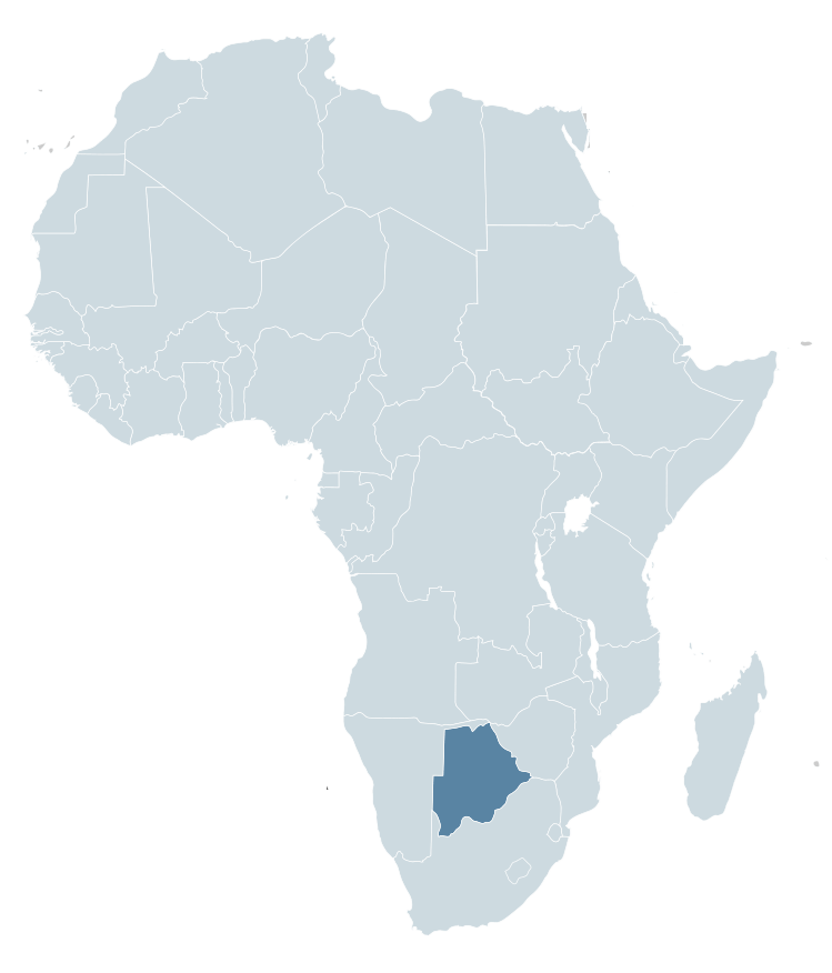
Botswana is a country in Africa. It is topographically flat, with approximately 70 percent of its territory being the Kalahari Desert.
It is bordered by South Africa to the south and southeast, Namibia to the west and north, and Zimbabwe to the northeast.
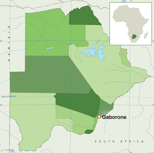
Capital: Gaborone
Currency: Botswanan Pula
Official language: English
Population: 2.588 million (2021) World Bank
Dialing code: +267
Gross Domestic Product: 17.61 billion USD (2021) World Bank
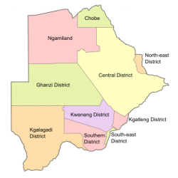
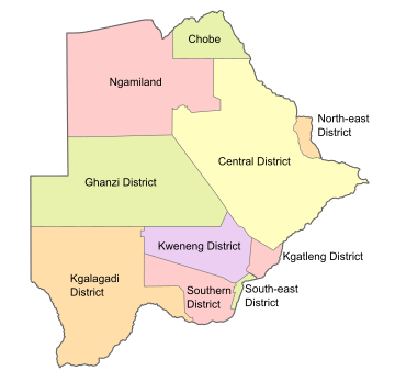
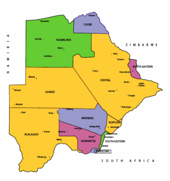
Botswana’s ten districts are:
- Southern District
- South-East District
- Kweneng District
- Kgatleng District
- Central District
- North-East District
- Ngamiland District
- Kgalagadi District
- Chobe District
- Ghanzi District
Botswana’s councils created from urban or town councils are: Gaborone City, Francistown, Lobatse Town, Selebi-Phikwe Town, Jwaneng Town, Orapa Town and Sowa Township.
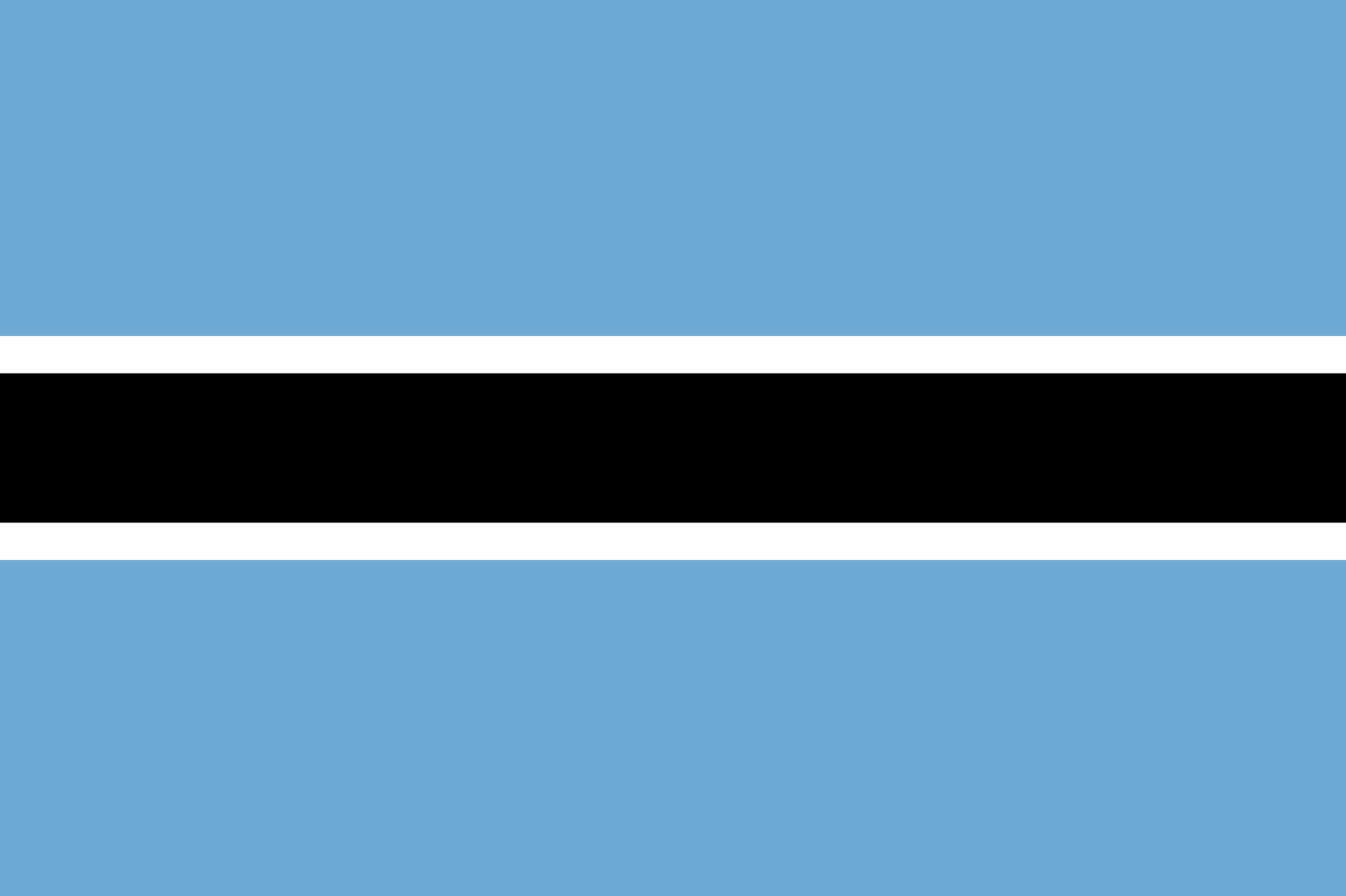
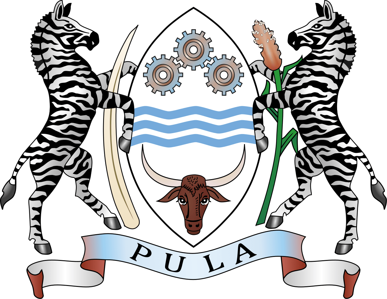
The name Botswana refers to ‘Land of the Tswana’. The landlocked, Southern Africa country is officially known as the Republic of Botswana.

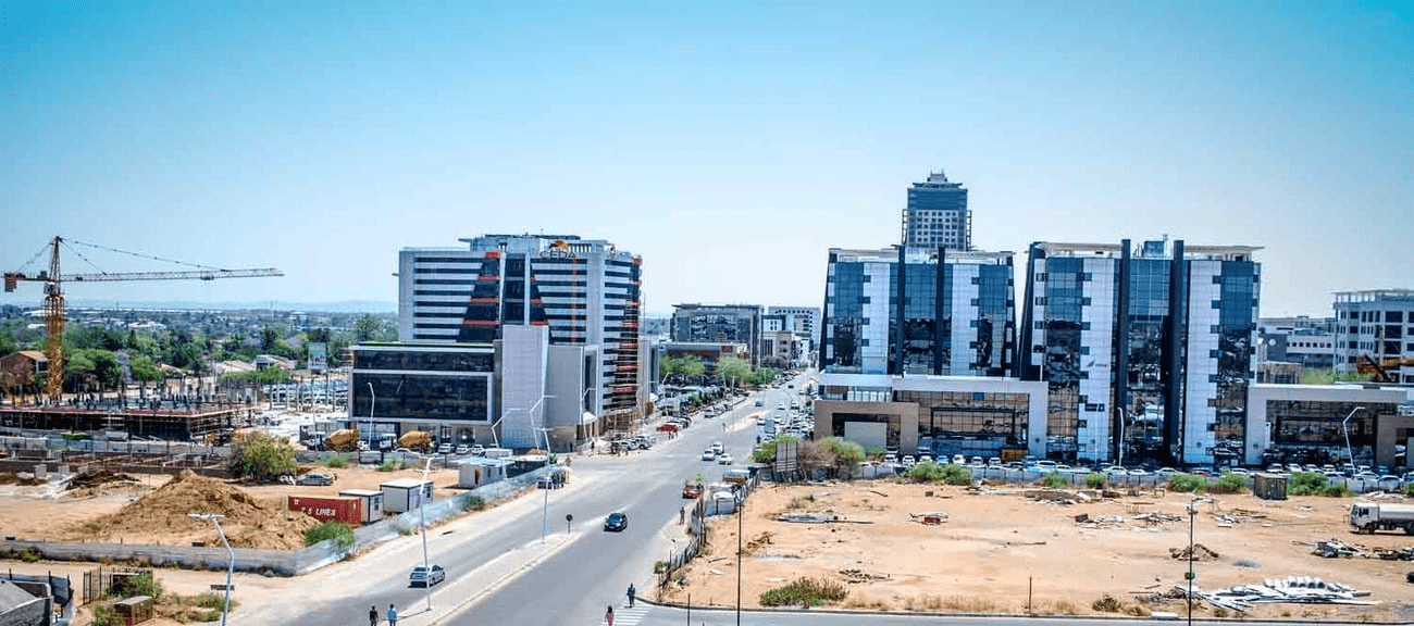
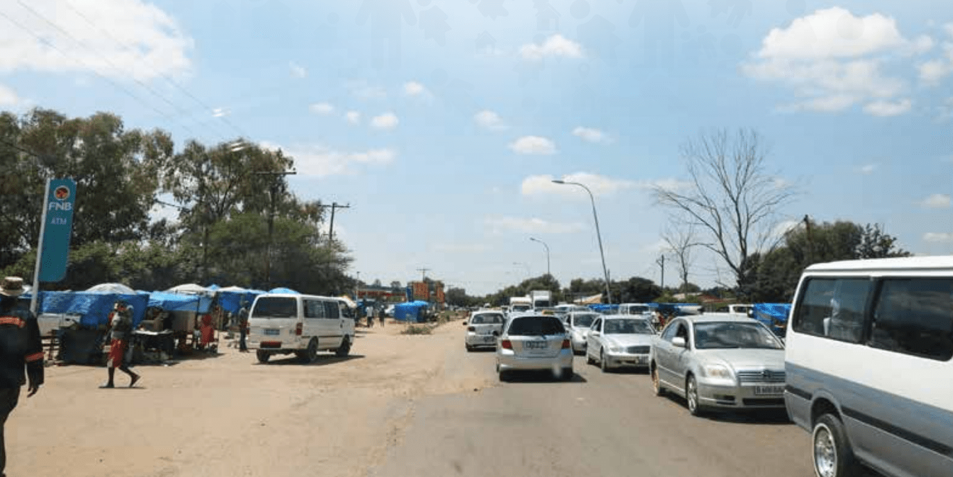
Botswana is connected to Zambia through the Kazungula Bridge making it the world’s shortest border between two countries.
A country of slightly over 2 million people (2021), Botswana is one of the most sparsely populated countries in the world. It is essentially the nation state of the Tswana ethnic group, who make up 79% of the population.
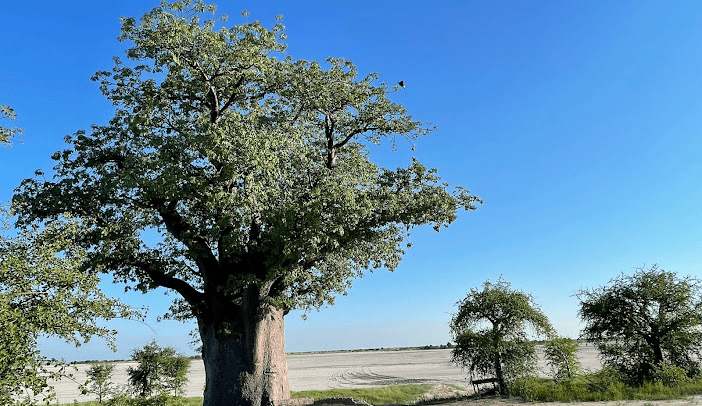
About 11.6 per cent of the population lives in the capital and largest city, Gaborone.
Formerly one of the world’s poorest countries—with a GDP per capita of about US$70 per year in the late 1960s—it has since transformed itself into an upper-middle-income country, with one of the world’s fastest-growing economies.
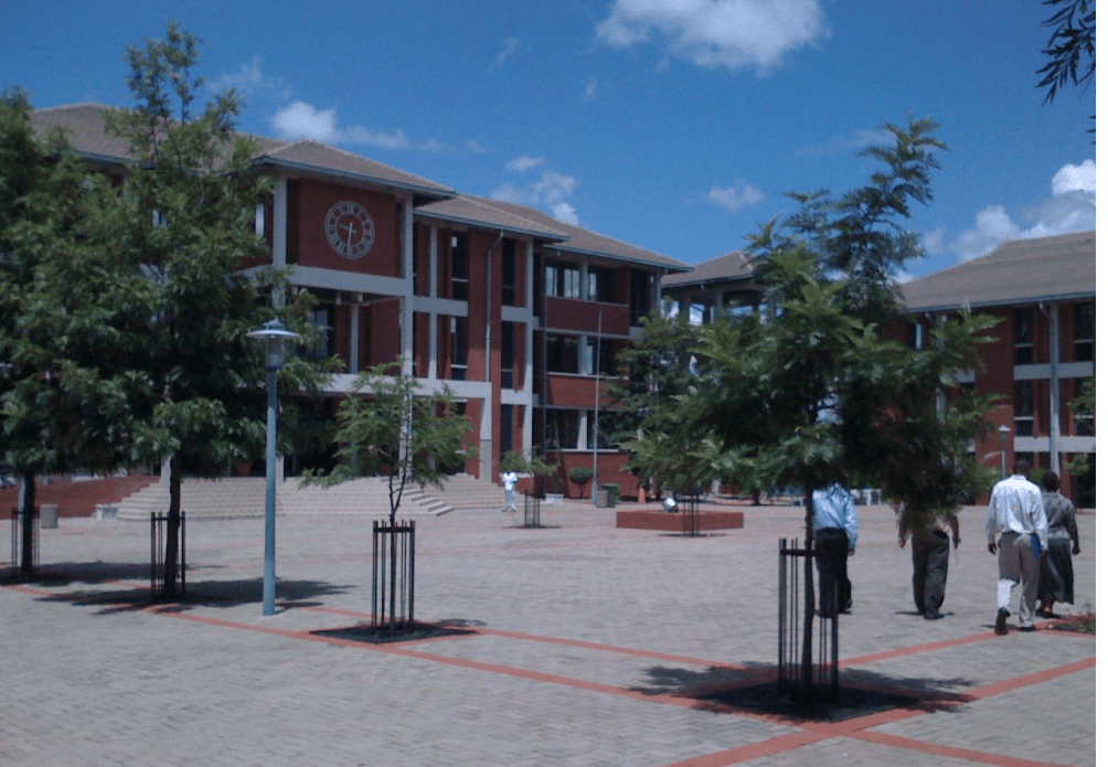
The Tswana ethnic group were descended mainly from Bantu-speaking tribes who migrated southward of Africa to modern Botswana, living in tribal enclaves as farmers and herders.
In 1885, the British colonised the area and declared a protectorate under the name of Bechuanaland.
As colonisation stopped, Bechuanaland became an independent republic under its current name on 30 September 1966.
Since then, it has been a representative republic, with a consistent record of uninterrupted democratic elections and the lowest perceived corruption ranking in Africa since at least 1998.
The economy is dominated by mining and tourism. Botswana has a GDP (purchasing power parity) per capita of about $18,113 as of 2021, one of the highest in subsaharan Africa.
Botswana is the world’s biggest diamond producing country.
Its relatively high gross national income per capita gives the country a high standard of living and the third-highest Human Development Index of continental Sub-Saharan Africa (after Gabon and South Africa).
The country has been adversely affected by the HIV/AIDS epidemic. In 2002, Botswana began offering anti-retroviral drugs (ARVs) to help combat the epidemic.
Botswana is a member of the Southern African Customs Union, the Southern African Development Community, the Commonwealth of Nations, and the United Nations.

