Places and their polling stations in Lentsweletau-Mmopane, Botswana
355 Hatsalatladi 1626 Hatsalatladi Primary School 1627 Lepare Borehole 1628 Moselele Mobile Health Stop 1629 Moamogwa Mobile Health Stop 1630 Mogonono Primary School 1631 Moleleme Mobile Health Stop 356 Medie 1632 Medie Primary School 1633 Kweneng Primary School 1634 Moetlo Mobile Health Stop 357 Mahetlwe 1635 Mahetlwe Primary School 1636 Mogatelwane Cattle Crush 1637 Ditshukudu Primary School 1638 Mmamarobole VDC Huts 358 Lentsweletau West 1639 Lentsweletau Council Offices 1640 Tent at Boseja 1641 Tent at Ditshoso (Marukurung) 1642 Sekhukwane VDC Huts 1643 Sasakwe VDC Huts 359 Lentsweletau East 1644 Makgasane Primary School 1645 Dikgatlhong Primary School 1646 Ramankhung Mobile Health Stop 1647 Kgope Primary School 1648 Sogomotlhabe Dam 1649 Tent at Palamaokue 1650 Lenatong 360 Kopong East 1651 Letsholo Primary School 1652 Kopong JSS 1653 Mmatseta Primary School 1654 Old Community Hall 361 Gakuto-Kopong West 1655 New Community Hall 1656 Molefe Primary School 1657 Galekgatshwane VDC Houses 1658 Gakutlo Primary School 1659 Mmakanke VDC Huts 1660 Rapalane Dam 362 Gaphatshwa 1661 Tent at Dintorokong Football Pitch 1662 Gaphatshwa Kgotla 1663 Mmopane Block 1 Kgotla (Mmantsie) 1664 Makgotlhwaneng Kgotla 1665 Duma Football Ground 1666 Mokgacheng Open Space 363 Mmopane 1667 Tau Manthe Primary School 1668 Roman Catholic Church
1669 Morope Kgotla 1670 Ralesele Kgotla 1671 Eleven Men Football Ground 1672 Kgaphamadi Kgotla 1673 Community Hall
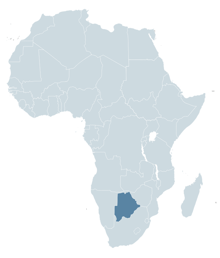
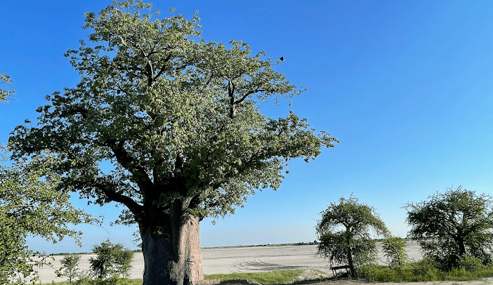
Botswana is a country in Africa. It is topographically flat, with approximately 70 percent of its territory being the Kalahari Desert.
It is bordered by South Africa to the south and southeast, Namibia to the west and north, and Zimbabwe to the northeast.
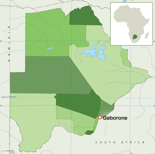
Capital: Gaborone Currency: Botswanan Pula Official language: English Population: 2.588 million (2021) World Bank Dialing code: +267 Gross Domestic Product: 17.61 billion USD (2021) World Bank
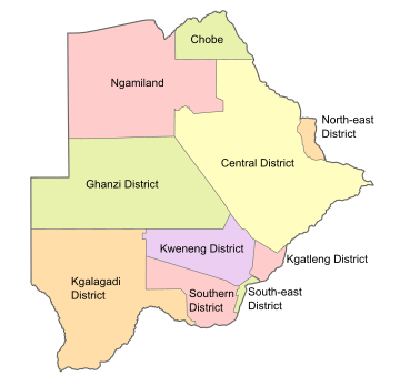
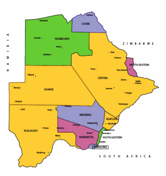
Botswana’s ten districts are:
Southern District
South-East District
Kweneng District
Kgatleng District
Central District
North-East District
Ngamiland District
Kgalagadi District
Chobe District
Ghanzi District
Botswana’s councils created from urban or town councils are: Gaborone City, Francistown, Lobatse Town, Selebi-Phikwe Town, Jwaneng Town, Orapa Town and Sowa Township.
Districts of BotswanaMap of BotswanaMap of BotswanaMaps of Africa showing BotswanaFlag of Botswana Coat of arms of Botswana
The name Botswana refers to ‘Land of the Tswana’. The landlocked, Southern Africa country is officially known as the Republic of Botswana.
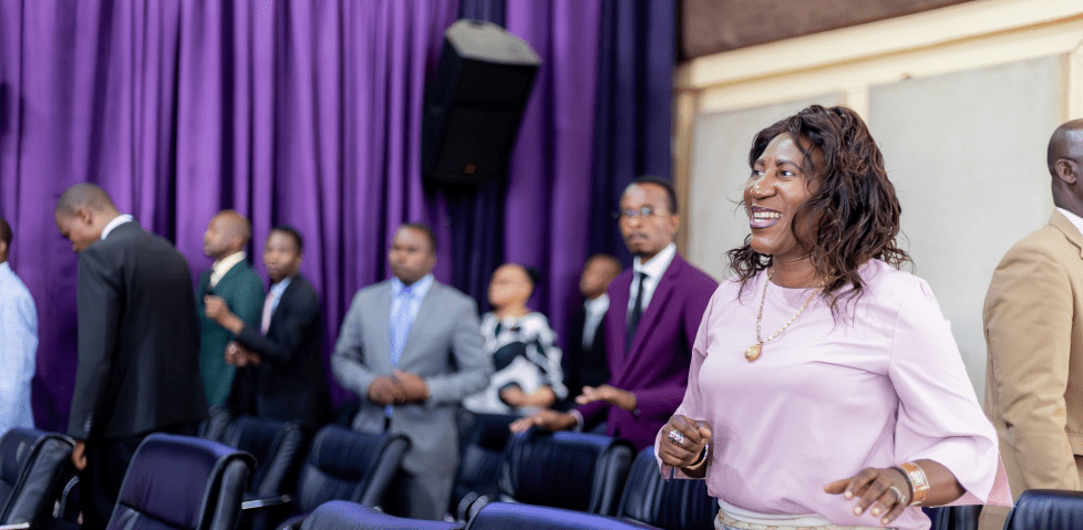
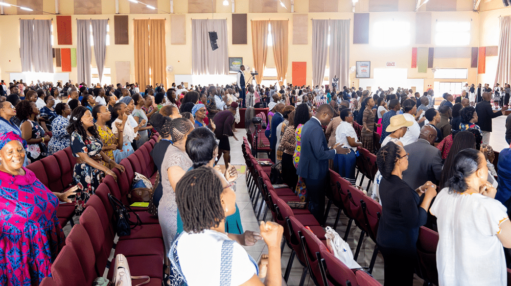
Living Faith Church (Winners’ Chapel) Gaborone, BotswanaWinners’ Chapel, GaboroneGaborone
Botswana is connected to Zambia through the Kazungula Bridge making it the world’s shortest border between two countries.
A country of slightly over 2 million people (2021), Botswana is one of the most sparsely populated countries in the world. It is essentially the nation state of the Tswana ethnic group, who make up 79% of the population.
Makgadikgadi Pans National Park, Botswana
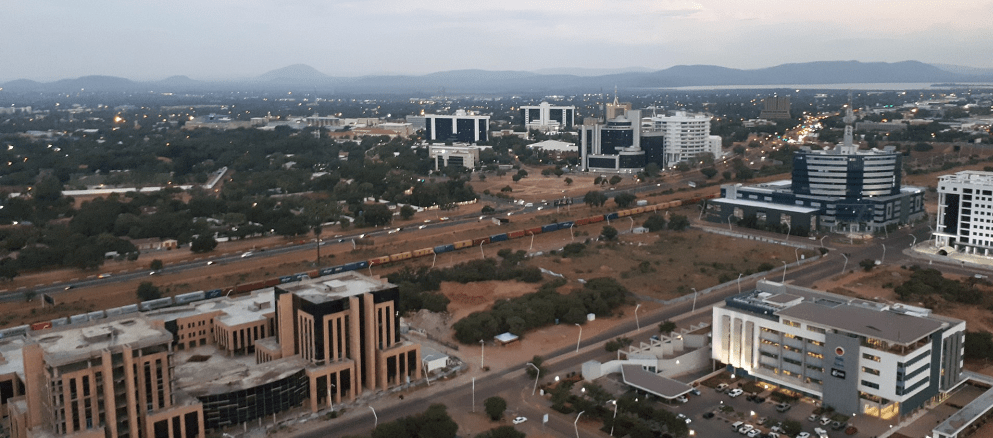
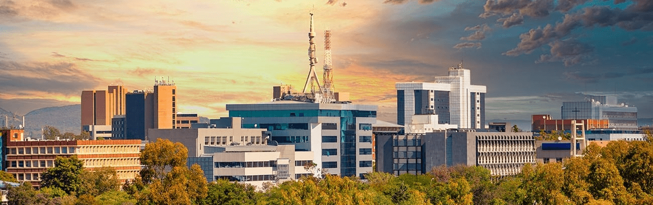
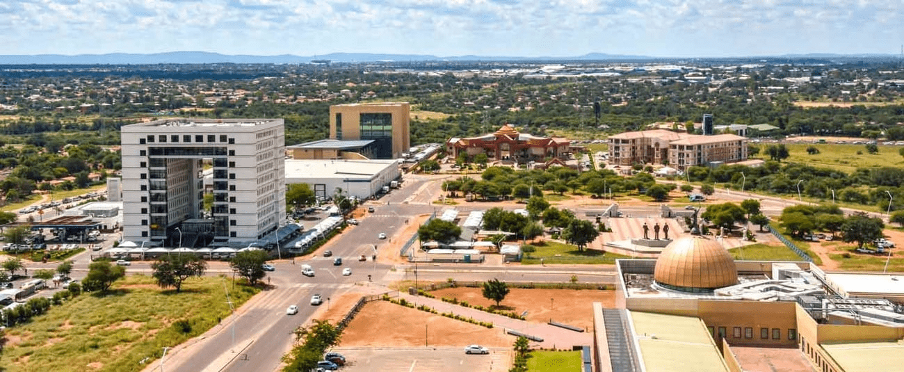
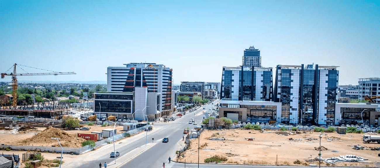
About 11.6 per cent of the population lives in the capital and largest city, Gaborone.
Formerly one of the world’s poorest countries—with a GDP per capita of about US$70 per year in the late 1960s—it has since transformed itself into an upper-middle-income country, with one of the world’s fastest-growing economies.
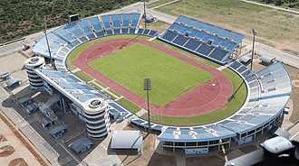
FrancistownFrancistown Stadium
The Tswana ethnic group were descended mainly from Bantu-speaking tribes who migrated southward of Africa to modern Botswana, living in tribal enclaves as farmers and herders.
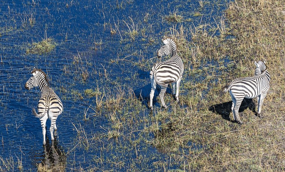
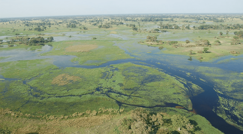
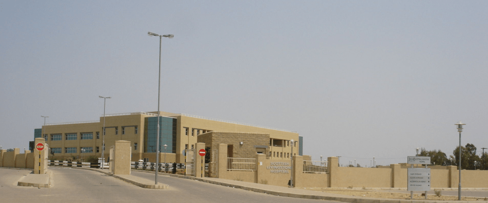
Zebras at the Okavango Basin Okavango Delta in Botswana Scottish Livingstone Hospital, Molepolole, Botswana
In 1885, the British colonised the area and declared a protectorate under the name of Bechuanaland.
As colonisation stopped, Bechuanaland became an independent republic under its current name on 30 September 1966.
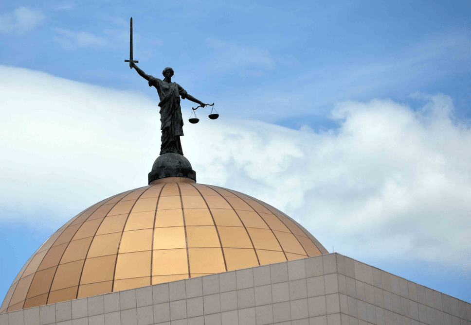
Since then, it has been a representative republic, with a consistent record of uninterrupted democratic elections and the lowest perceived corruption ranking in Africa since at least 1998.
The economy is dominated by mining and tourism. Botswana has a GDP (purchasing power parity) per capita of about $18,113 as of 2021, one of the highest in subsaharan Africa.
Botswana is the world’s biggest diamond producing country.
Its relatively high gross national income per capita gives the country a high standard of living and the third-highest Human Development Index of continental Sub-Saharan Africa (after Gabon and South Africa).
The country has been adversely affected by the HIV/AIDS epidemic. In 2002, Botswana began offering anti-retroviral drugs (ARVs) to help combat the epidemic.
Botswana is a member of the Southern African Customs Union, the Southern African Development Community, the Commonwealth of Nations, and the United Nations.
More
Botswana places, polling stations List of places and their polling stations in Botswana Independent Electoral Commission of Botswana, 2019 01 Chobe 001 Kasane Plateau0001…
Places, polling stations in Tati West, Botswana Botswana places, polling stations Places and their polling stations in Tati West, Botswana 057 Ramokgwebana0334 Ramokgwebana Primary School0335 Jackalas I…