State Creation in Nigeria
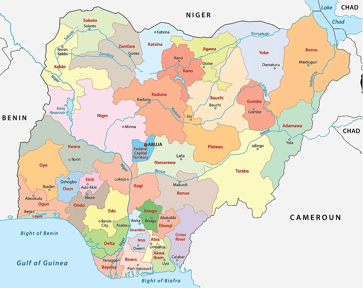
At independence in October 1, 1960, Nigeria has three (3) regions:
1) Northern Region
2) Western Region
3) Eastern Region
In 1963, a new region, the Mid-Western Region, was created from the Western Region.
Then four years later in 1967, the regions were replaced by 12 states by military decree by the then Head of State General Yakubu Gowon, namely;
In 1976, seven new states were created by military decree by the then Head of State General Murtala Mohammed bringing the total to 19 states, including the Federal Capital Territory Abuja.
Abuja was carved from parts Kwara, Niger, Kaduna and Plateau States with the bulk of landmass carved out of Niger State
In 1987, the then military President General Ibrahim Babangida created two new states were created – Akwa Ibom State from Cross River State and Kastina State from Kaduna State, bringing the number to 21 States.
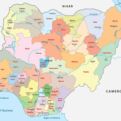
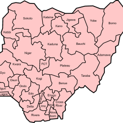
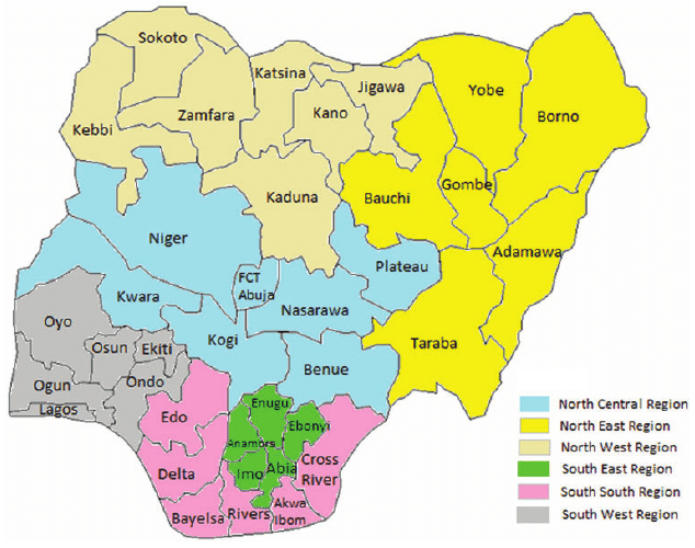
Four years later (1991), General Babangida created an additional nine (9) states bringing the total to 30 States. Finaly in 1996, the then military Head of State General Ibrahim Abacha created six (sixe more states, bringing the total to 36 states, which remains till present date.
| 1960 – 1963 (4 Regions) | 1967 (12 States) | 1976 (19 States) |
| NORTHERN REGION | North-Western State North-Eastern State Kano State North Central State Benue-Plateau State Kwara State | Bauchi State Benue State Borno State Gongola State Kaduna State Kano State Kwara State Niger State Plateau State Sokoto State |
| WESTERN REGION | Western State Lagos State | Lagos State Ogun State Ondo State Oyo State |
| MID WESTERN REGION | Mid-Western State | Bendel State |
| EASTERN REGION | East Central State Rivers State South-Eastern State | Anambra State Cross River State Imo State Rivers State |
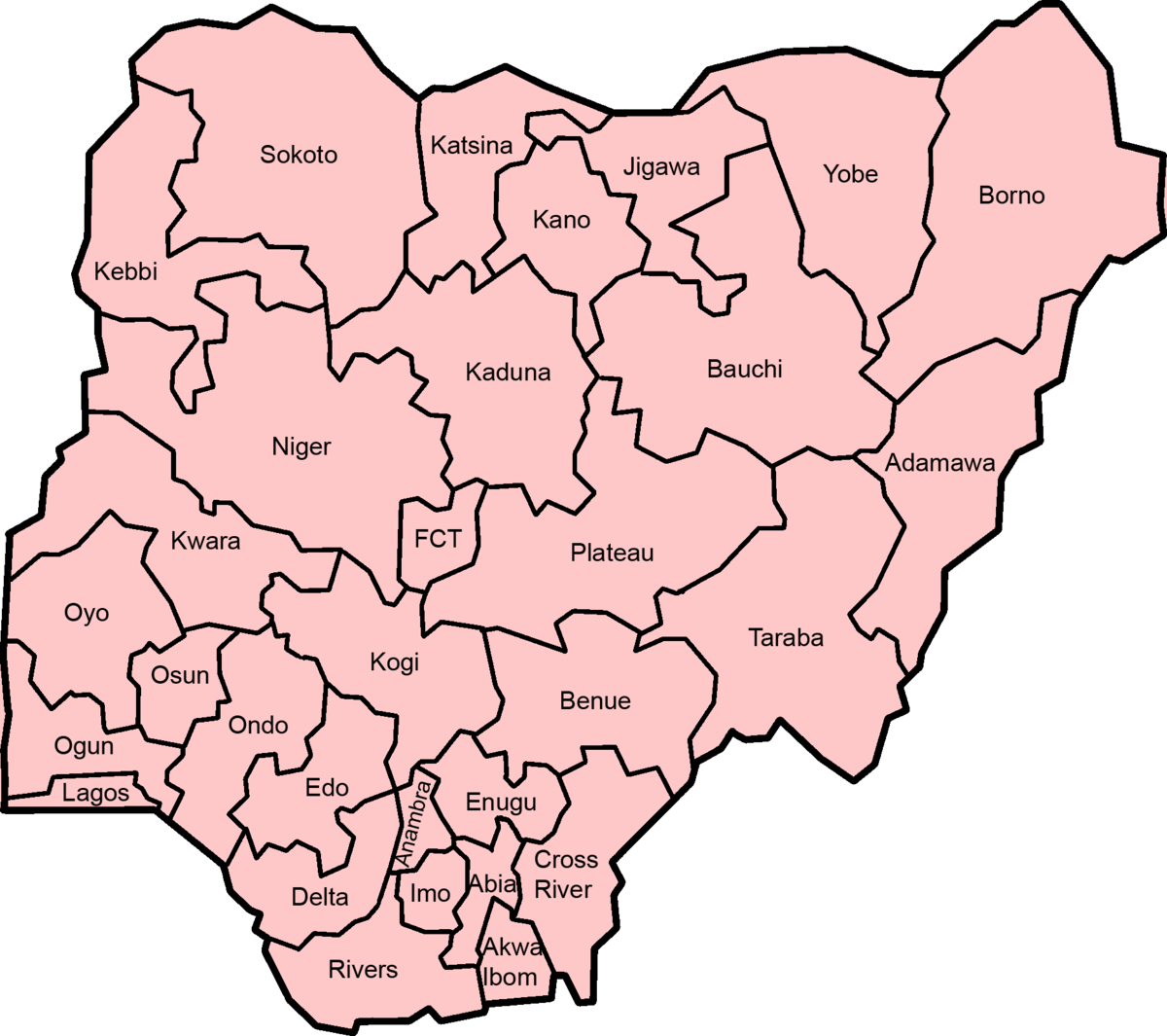
| 1976 (19 States) | 1987 (21 States) | 1991 (30 States) | 1996 (36 States) |
| Bauchi State Benue State Borno State Gongola State Kaduna State Kano State Kwara State Niger State Plateau State Sokoto State | Bauchi State Benue State Borno State Gongola State Kaduna State Kano State Katsina State Kwara State Niger State Plateau State Sokoto State | Adamawa State Bauchi State Benue State Borno State Jigawa State Kaduna State Kano State Katsina State Kebbi State Kogi State Kwara State Niger State Plateau State Sokoto State Taraba State Yobe State | Adamawa State Bauchi State Benue State Borno State Gombe State Jigawa State Kaduna State Kano State Katsina State Kebbi State Kogi State Kwara State Nasarawa State Niger State Plateau State Sokoto State Taraba State Yobe State Zamfara State |
| Lagos State Ogun State Ondo State Oyo State | Lagos State Ogun State Ondo State Oyo State | Lagos State Ogun State Ondo State Osun State Oyo State | Ekiti State Lagos State Ogun State Ondo State Osun State Oyo State |
| Bendel State | Bendel State | Edo State Delta State | Edo State Delta State |
| Anambra State Cross River State Imo State Rivers State | Anambra State Akwa Ibom State Cross River State Imo State Rivers State | Abia State Anambra State Akwa Ibom State Cross River State Enugu State Imo State Rivers State | Abia State Anambra State Akwa Ibom State Bayelsa State Cross River State Ebonyi State Enugu State Imo State Rivers State |
