Bayelsa is a state in Nigeria. It is located in the southern part of the country.
Created on October 1st 1996 from the old Rivers State, it’s bounded to the east by Rivers State and west by Delta State, the beautiful waters of the Atlantic Ocean dominates its southern borders.
It has the longest coastline in the West African sub-region making the State a tourists destination.
Bayelsa State consists of 8 Local Government Areas:
Brass
Ekeremor
Kolokuma/Opokuma
Nembe
Ogbia
Sagbama
Southern Ijaw
Yenagoa
The name Bayelsa is derived from a combination of acronyms of three Local Government Areas within its confines: Brass LGA (BALGA), Yenagoa LGA (YELGA), and Sagbama LGA (SALGA). The state is made up of 8 Local Government Areas; they are Ekeremor, Kolokuma Opokuma, Yenagoa, Nembe, Ogbia, Sagbama, Brass and Southern Ijaw.
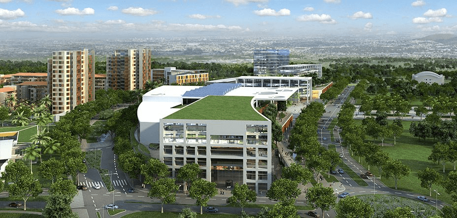
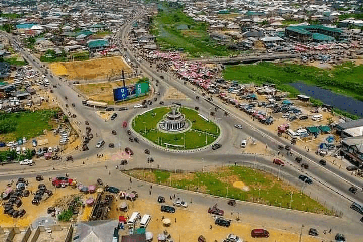
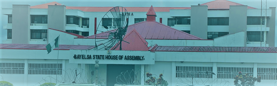
The beautiful city of Yenagoa serves as the Capital City which plays host to most of the Government and private institutions.
Bayelsa State House of Assembly, Yenegoa
The four main languages spoken are Izon, Nembe, Ogbia and Epie-Atissa. Like the rest of Nigeria, English is the official language.
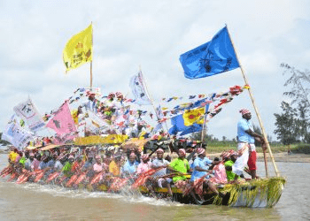
Bayelsa State has one of the largest crude oil and natural gas deposits in Nigeria. Bayelsa is often described as the cradle of Ijaw culture and tradition because of its rich culture and tradition that dates back to so many centuries.
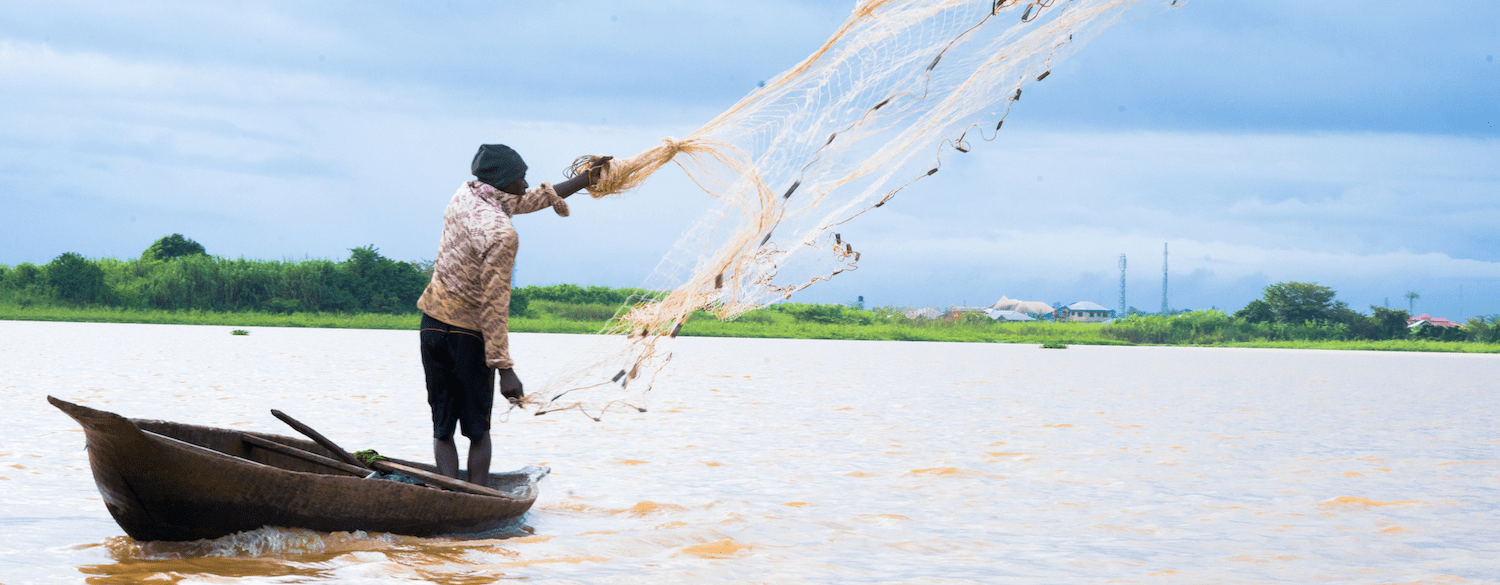
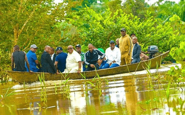
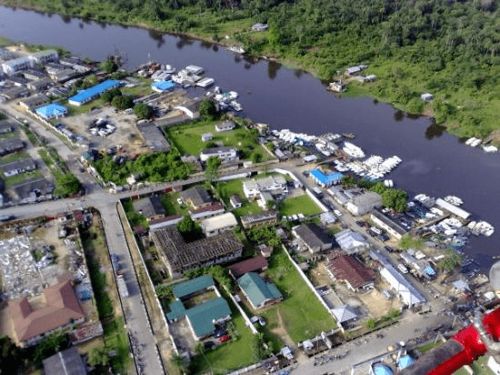
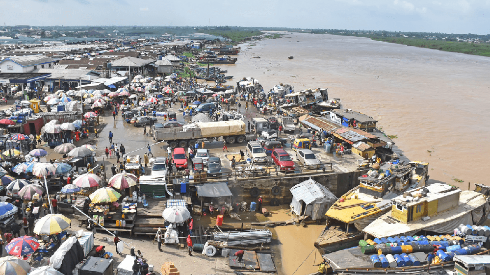
Fishing is the major occupation of Bayelsa people because of the abundant creeks, lagoons, rivers and swamps within which commercial fishing is practiced. Over 200 species of fish can be found in the waters within and around the state. Fish oil extraction is a common economic activity throughout all the LGAs of the state, and the coastal areas abound in sea foods such as fish, oysters, crabs, lobsters, periwinkle et cetera. There are also sea animals such as Hippopotamus, manatee, crocodile etc. in the seas, rivers and streams that crisscross the state.
Food crops grown in the state include yam, cocoyam, banana, pineapple and plantain. Cash crops grown in the state include coconut, pears, oil palm and raffia palm. The potentialities for the development of these crops to feed local industries are very good. Technologies are being developed to reclaim land from mangrove swamps in order to cultivate food, especially lowland rice and the cash crops identified above on a large, commercial scale.
Location: Bayelsa is geographically located approximately within Latitude 4°15 North at the Southern part & 5°23 North at the Northern limit and Longitude 5°22 East at the Western part & 6°45 East at the actual Eastern limit. It is bordered by Delta State to the West, Rivers State to the East, the Atlantic Ocean to the South and both Rivers and Delta States to the North.
Geology: Domiciled within the lower delta plain believed to have been formed during the Holocene of the quaternary period by the accumulation of sedimentary deposits. The major geological characteristic of the state is sedimentary alluvium.
Soils: The major soil types in the state are young and shallow,(inceptisol Aquepts) and acid sulphate soils (Sulphaquepts). There are variations in the soils, some soil types occupy extensive areas whereas others are of limited extent. However, based on physio graphic differences, several soil units could be identified in the state.
Climate and Vegetation: Rainfall in the State varies in quantity from one area to another. The state experiences equatorial type of climate in the southern the most part and tropical rain towards the northern parts. The average monthly temperature is in the range of 25°C to 31°C. The hottest months are December to April.
Minerals: With the largest crude oil reserve in the Niger Delta of Nigeria, the state produces over 40% of the country’s on-shore crude oil and vast quantities of associated gas. It also has large deposits of clay.
More
Traditional rulers in Ekiti State: Titles and addresses Ekiti State traditional rulers. Their titles and addresses including Local Government Areas SNTITLEADDRESSLGA1The Owa OoyeOwa Ooye’s Palace, Okemesi-EkitiEkiti West L.G2The…
Titles of Ekiti traditional rulers List of titles of traditional rulers in Ekiti State, Nigeria. Grade A – Traditional Rulers TitleTownLGAAjeroljero-EkitiIjeroAlaayeEfon Alaaye-EkitiEkiti WestAlaayeOke Ayedun-EkitiIkoleAlaraAramoko-EkitiEkiti WestAlareAre-Ekitilrepodun/IfelodunAlaweIlawe-EkitiEkiti…
Third class traditional rulers, Bayelsa State Name, title, area and position of Bayelsa third class traditional rulers SNNAMETITLE, AREA1HH PRINCEWILL CONSUL-OLUKUAMADAOWEI OF EREWEIBIE2HH CADBURY GEORGE OMIEAMANYANABO…
Second class traditional rulers, Bayelsa State Name, title, area and position of Bayelsa second class traditional rulers SNNAMETITLE, AREA1HH GABRIEL NUKU DICKSON (MOKO V)AMANAYANABO OF SANGANA2HH…
First class traditional rulers, Bayelsa State Name, title, area and position of Bayelsa first class traditional rulers SNNAMETITLE, AREAPOSITION1HRM KING JOUSHA IGBAGARA (OON:PEN:TRM:JP)IBENANAOWEI OF OYAIKIRICHAIRMAN2HRM KING…
List of traditional rulers in Bayelsa Bayelsa State traditional rulers: Name, class, title, area, position ① FIRST CLASS TRADITIONAL RULERS SNNAMETITLE, AREAPOSITION1HRM KING JOUSHA IGBAGARA (OON:PEN:TRM:JP)IBENANAOWEI…
Traditional Rulers in Anambra State and their towns Traditional Rulers in Anambra State and their towns NAME TOWNHRH ENGR. G.B.C MBAKWE ABACHA HRH P. M. OKEKE ABAGANAHRH ENGR. CHINYELUGO EFOBI ABATETE HRH L.N. EZE ABBAHRH…
Ekiti traditional rulers and their towns List of traditional rulers in Ekiti State, Nigeria and the local government areas they’re found. Grade A – Traditional Rulers…
List of Ekiti traditional rulers and their addresses Traditional rulers of Ekiti State and their addresses including Local Government Areas SNNAMETITLEADDRESSLGA1HRM, Oba Gbadebo Adedeji JPThe Owa OoyeOwa Ooye’s…