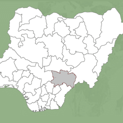
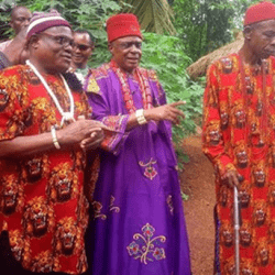
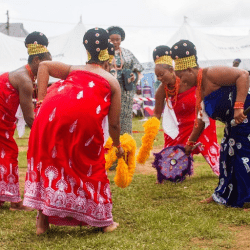
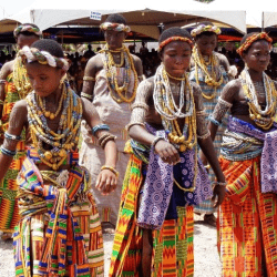
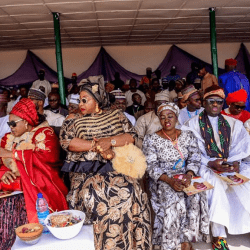
Ezza is a clan politically divided into two Administrative Local Councils of Ezza North and Ezza South.
Initially, Ezza clan was made up of twelve communities – Umuezeoka, Umuezeokoha, Umuoghara (Izzo Group); Oriuzor, Ekka (Imoha Group); Amana (Oldest Ezza Village Group); Amaezekwe, Amegu, Idembia, Ameka, Amuzu and Ezzama (Kpakpaji Group).

Over time, nine additional communities were added through migrations and conquests, excluding those in the diaspora. These are Okoffia, Echara, Ukawu, Nsokara, Amudo, Okpomoro, Amaewula, Ogboji and Inyere communities.
While the Izzoh and Imoha village groups are all found 34 within Ezza North Local Government Area, the Kpakpaji group and a host of other communities are found in Ezza South Local Government Area (all in Ebonyi State).
Ezza covers an area of approximately 854 square kilometers, including the Ezza Community in Ishielu Local Government Area, Ebonyi State.
It is bounded on the East by Ikwo clan (in Ebonyi State) and Agbo clan (in Cross River State); on the West by Ezzangbo, Ntezi, Okpoto and Agba; on the South by Akpoha and Amasiri; and on the North by Izzi.
To the South-West, Ezza shares 33 boundaries with Ugwulangwu and Oshiri in Ohaozara Local Government Area, Ebonyi State.
Ezza lies between longitude 250 20’’ and 300 23” East of the Greenwich Meridian and latitude 350 15” and 400 15” North of the Equator.
Its vegetation is the grassland type which it shares with the entire Abakaliki region. There are patches of forests, a feature that shows that Ezza land was originally a densely forested region.
But due to perennial stretches of settlements and extensive farming activities, the forests have all disappeared, giving rise to the current derived Savannah features of the area.
The only major river in Ezza land, the Ebonyi-Ezza, might have given rise to the earlier forest feature of the land. Ebonyi – Ezza runs from Nsukka hills down to the Western part of Abakaliki down to Cross River waters to empty its waters at the Atlantic Ocean in the South .
