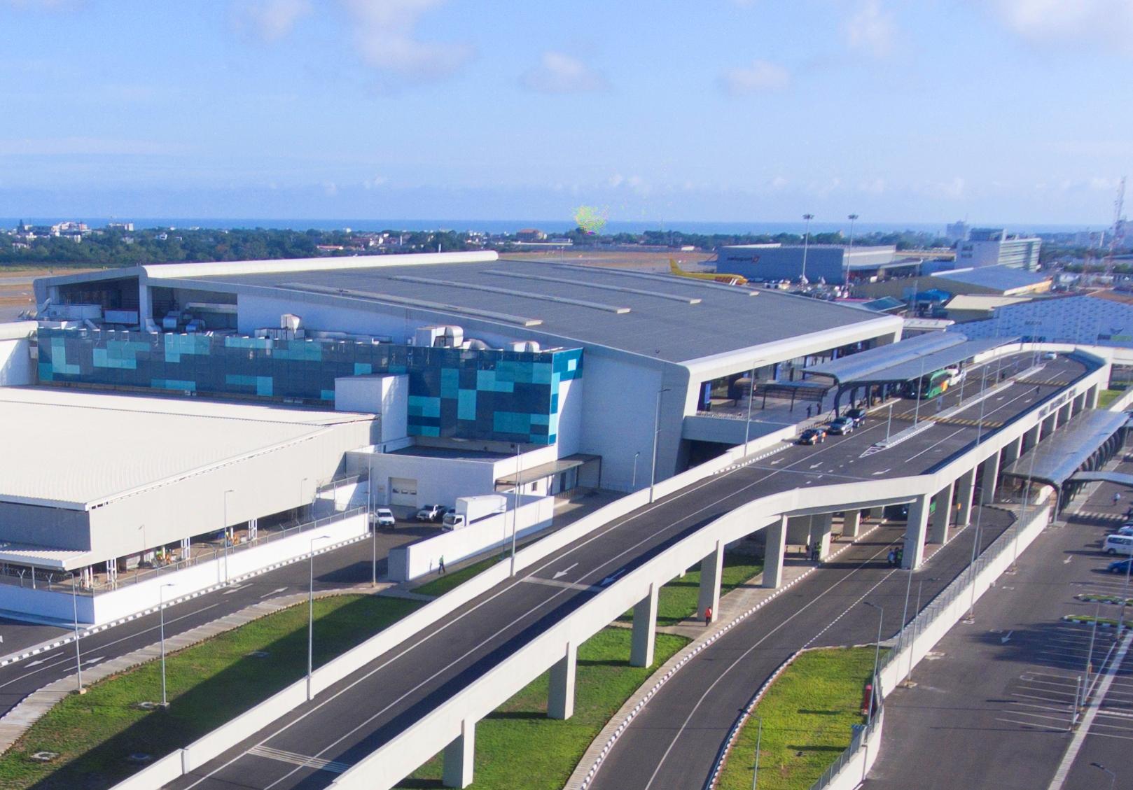
Kotoka International Airport has the capacity to handle 5 million passengers a year, Process 1,250 passengers per hour, Six boarding bridges, A large commercial and retail area, Three business lounges.
Founded
Kotoka International Airport, was originally a military airport used by the British Royal Air Force during World War II in 1946.
Land area
Kotoka International Airport occupies 1610 acres (651 hectares) within the city of Accra.
????????????????????????????????????
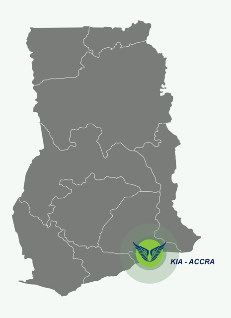
Distance of Kotoka International Airport from Accra City Centre
Kotoka International Airport is about 10 kilometres from the City Centre.
Location, coordinates
The reference point co-ordinates are 05° 35’ 47” North Latitude by 000° 10’ 12” West longitude.
K.I.A’s central location in the world, (on the Greenwich Meridian and close to the Equator) makes it easily accessible from any part of the world.
Lagos International Airport The Lagos International Airport airport is Nigeria’s busiest airport followed by Nnamdi Azikiwe International Airport, Abuja. The Lagos International Airport…
Addis Ababa Bole International Airport Addis Ababa Bole International Airport is a primary gateway to Ethiopia and the African continent, connecting travelers worldwide to various…

 started and developed")
")

")


")


