Bibugn Hulet Ej Enese Goncha Siso Enese Enebse Sar Midir Enarj Enawga Enemay Debay Tilatgen Debre Elias Machakel Gozamin Baso Liben Awabel Dejen Shebel Berenta Debre Markos Sinan Aneded
Dangila Banja Shekudad Ankasha Guagusa Guangua Fagita Lekoma Jawi Guagusa Shikudad Oromia – Zone Dawa chefa Bati Jile Timuga Artuma Fursi Dawe Harewa Kemisie
Bahir Dar Special Zone
Bahir Dar Argoba Special Argoba Special
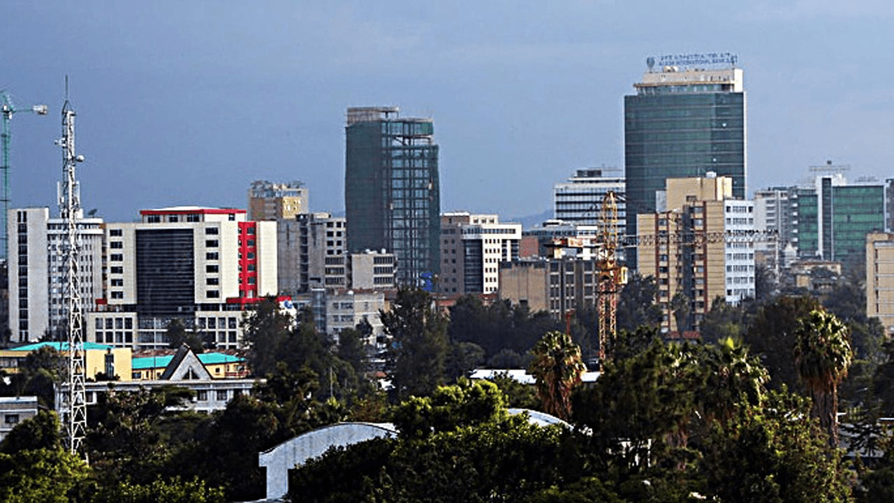
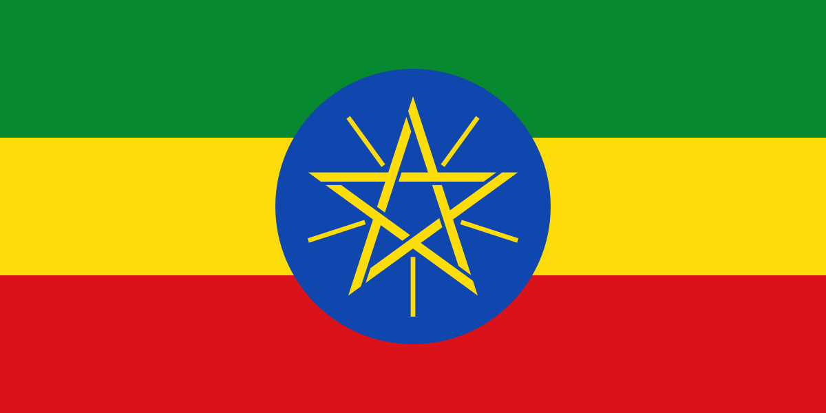
Ethiopia
The Federal Democratic Republic of Ethiopia is an African country.
It shares borders with Eritrea to the north, Djibouti to the northeast, Somalia to the east and southeast, Kenya to the south, South Sudan to the west, and Sudan to the northwest.
As of 2023 the country’s population was 107,334,000, making it the 13 most populated country in the world and 2 most populated in Africa after Nigeria.
It covers a land area of 1,112,000 square kilometres (472,000 sq. miles).
Ethiopia is multi-ethnic with over 80 different ethnic groups. Oromo and Amhara are the country’s two largest ethnic groups.
Christianity is the most widely professed faith in the country. The country has some adherents of Islam and other faiths.
Regions
Ethiopia is administratively divided into four levels: regions, zones, woredas (districts) and kebele (wards).
The first level administrative division in Ethiopia is a region, also called kilil, or alternatively regional state.
The 1995 Constitution of Ethiopia established the regions based on ethno-linguistic territories.
The country comprises 11 regions and two city administrations under these regions, many zones, woredas and neighbourhood administration: kebeles.
Previously, this level was called a province, and though many of the old province and new region names are the same, the entities are not identical and the words region and province are not interchangeable. As of 2022 there were eleven regions.
The regions and their capitals in Ethiopia are as follows:
Addis Ababa (City) …. Addis Ababa
Afar Region … Semera
Amhara Region … Bahir Dar
Benishangul-Gumuz Region … Asosa
Dire Dawa (City) … Dire Dawa
Gambela Region … Gambela
Harari Region … Harar
Oromia Region … Addis Ababa
Sidama Region … Hawassa
Somali Region … Jijiga
South West Ethiopia Peoples’ Region … Bonga
Southern Nations, Nationalities, and Peoples’ Region … Hawassa
Tigray Region … Mek’ele
Zones
Regions are subdivided into zones. The number of zones varies, but most regions have around six to twelve zones.
The largest region Oromia has over 20 zones, and the two smallest regions have none.
There are some cities which are set up as “special zones”, such as Bahir Dar Special Zone in the Amhara Region.
The earlier equivalent to a zone was called an awrajja, and many zones today are named the same as their earlier awrajja, but the terms zone and awrajja are not interchangeable.
Woredas
Zones are divided into woredas (districts). In Ethiopia, the woredas comprise three main organs: a council, an executive and a judicial.
The Woreda Council is the highest government organ of the district, which is made up of directly elected representatives from each kebele in the woredas.
The representative of the people in each kebele is accountable to their electorate.
Kebele
Woredas are divided into kebele, municipalities. Each kebele comprises around 20 smaller villages.
Kebele is the smallest administrative division. This is sometimes also called tabia or tabiya. They are at the neighbourhood level and are the primary contact for most citizens living in Ethiopia. Their administrative unit consists of an elected council, a cabinet (executive committee), a social court and the development and security staff. Kebeles are accountable to their woreda councils and are typically responsible for providing basic education, primary health care, agriculture, water, and rural roads.
More
List of AMHARA Weredas and Zones Weredas and Zones of AMHARA Region, Ethiopia North Gondar-Zone Adi ArkayBeyedaJanamoraDebarkDabatMerab ArmachohoTegedeLay ArmachohoWegeraGondar ZuriaDembiaChilgaMetemaQuaraAlefaMerab BelsaMisrak BelesaGonderTselemetTach ArmachohoTakusa South Gondar-Zone EbinatLibokemkemFogeraFartaLay…
List of South West Region Zones and Weredas (Towns) South West Region administrative areas: Zones and Weredas (Towns) South West Region South Omo Zone SelamagoDebub AriSemen AriHamerBena TsemayDasenechMaleNyangatom Sheka…
List of Benishangul – Gumuz Zones and Weredas (Towns) Benishangul – Gumuz administrative areas: Zones and Weredas (Towns) Benishangul – Gumuz Region Benishangul – Gumuz map Metekel Zone DangurGubaWenberaManduraDibateBulen…
List of Somali Zones and Weredas (Towns) Somali administrative areas: Zones and Weredas (Towns) Somali Region Somali map Shinile Zone AyishaDenbelShinileErerMuloAfdem Jijiga Zone BabileGursumJijigaAwubereKebri BeyahHarshin Degehabur Zone…
List of Oromia Zones and Weredas (Towns) Oromia administrative areas: Zones and Weredas (Towns) Oromia Region Oromia map https://youtu.be/Y52hwZ3scDY West Wellega Zone MenesibuNejoGimbiLalo AsabiKiltu KaraBoji DirmejiGulisoJarsoKondalaBoji ChekorsaBabo…
List of Affar Zones and Weredas (Towns) Affar administrative areas: Zones and Weredas (Towns) Affar Region Affar map ZONE 1 DubtiElidarAsayitaAfamboMileChifraKori Zone 2 ErebtiKunobaAbalaMegaleBerahileDalolAfdera Zone 3 AmibaraAwash…
List of Tigray Zones and Weredas (Towns) Tigray administrative areas: Zones and Weredas (Towns) Tigray Region Tigray map North Western Tigray Zone Tahtay AdiyaboLaelay AdiyaboMedebay ZanaTahtay KoraroAsegede…
List of Ethiopia Regions, Zones and Weredas (Towns) Ethiopia administrative areas: Regions, Zones and Weredas (Towns) Tigray Region Tigray map North Western Tigray Zone Tahtay AdiyaboLaelay AdiyaboMedebay ZanaTahtay…
List of SNNP (Southern Nations, Nationalities and Peoples) Weredas and Zones Weredas and Zones of SNNP (Southern Nations, Nationalities and Peoples) Region, Ethiopia Gurage-Zone KebenaAbeshgeEzhaKokir GedabanoSodoMesekanMarekoEndegagnGumerChehaEnemorna EnerMuhor Na AklilGetaWelkiteButajira Hadiya-Zone MishaGibeLemoShashagoMisrak…
List of Affar Weredas and Zones Weredas and Zones of Affar Region, Ethiopia Zone 1 DubtiElidarAsayitaAfamboMileChifraKori Zone 2 ErebtiKunobaAbalaMegaleBerahileDalolAfdera Zone 3 AmibaraAwash FentaleGewaneDulachaBure MudayituArgoba Liyu Zone…
List of OROMIA Weredas and Zones Weredas and Zones of OROMIA Region, Ethiopia West Wellega-Zone MenesibuNejoGimbiLalo AsabiKiltu KaraBoji DirmejiGulisoJarsoKondalaBoji ChekorsaBabo GambelYubdoGenjiHaruNole KabaBegiGimbiSeyo NoleHomaAyira East Wellega-Zone LimuIbantuGida…
List of SOMALI Weredas and Zones Weredas and Zones of SOMALI Region, Ethiopia Shinile-Zone AyishaDenbelShinileErerMuloAfdem Jijiga-Zone BabileGursumJijigaAwubereKebri BeyahHarshin Degehabur-Zone DegehamedoDegehaburAwareGashamoGunagudo Warder-Zone DanotBohGeladinWarder Korahe-Zone ShekoshKebrideharShilaboDebewoin Fik-Zone SelehadFikGerboHameroSegegDihunLegehidaMeyu…
List of BENISHANGUL – GUMUZ Weredas and Zones Weredas and Zones of BENISHANGUL – GUMUZ Region, Ethiopia Metekel Zone DangurGubaWenberaManduraDibateBulen Asossa-Zone MengeKurmukAsossaSherkoleBambasiOdabuldi-GuliHomesha Kemashi Zone YasoSirba AbayKemashiAgelo MetiBelojegonfoy Pawe…
List of South West Weredas and Zones Weredas and Zones of South West Region, Ethiopia South Omo-Zone SelamagoDebub AriSemen AriHamerBena TsemayDasenechMaleNyangatom Sheka-Zone MashaAnderachaYeki Keffa-Zone SayilemGesha DekaGewataGimboMenjiwoTeloadaChetaDechaChenaBitaBonga Bench…
Map of Amhara Region, Ethiopia Map of Amhara Ethiopia administrative divisions Regions The first level administrative division in Ethiopia is a region, also called kilil,…
Flag of Amhara Region, Ethiopia Flag of Amhara Ethiopia administrative divisions Regions The first level administrative division in Ethiopia is a region, also called kilil,…
List of weredas (towns) in Ethiopia The weredas (towns) in Ethiopia are: Abala Abaya Abe Dongoro Abergele Abeshge Abey Chomen Abi Adi Abichuna Gnaa Abobo Abuna…


 Zones and Weredas (Towns)")
")
")
")
")
")
")
")

