There are 10 wards in Nafada Local Government Area of Gombe State, namely:
Barwo / Nasarawo
Barwo Winde
Birin Bolewa
Birin Fulani East
Birin Fulani West
Gudukku
Jigawa
Nafada Central
Nafada East
Nafada West
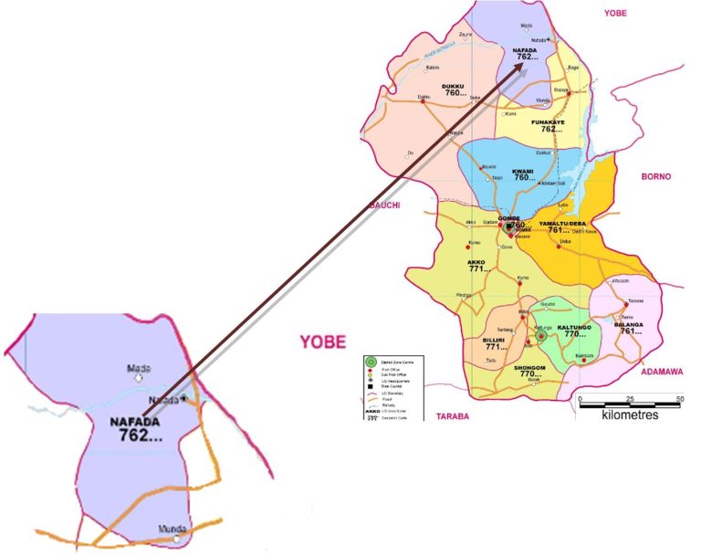
NAFADA LOCAL GOVERNMENT AREA
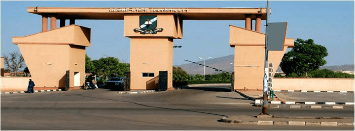
Nafada local government area is in Gombe state, North-east geopolitical zone of Nigeria and has its headquarters in the town of Nafada.
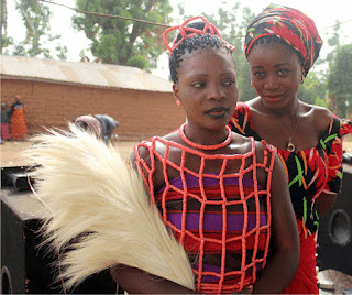
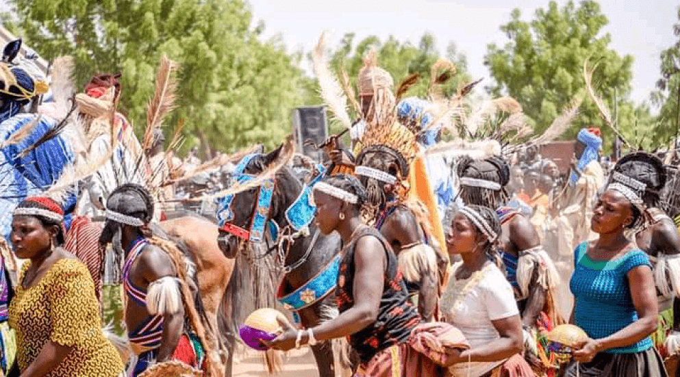
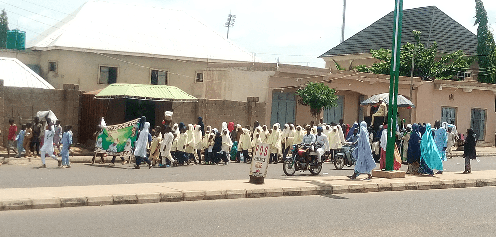
A number of towns and villages make up Nafada LGA and these include Nafada, Biri Fulani, Kuruga, Barwo, Jigawa, and Biri Bolawa. Nafada LGA is part of the Gombe Emirate and the estimated population of Nafada LGA is put at 247,899 inhabitants with the area mostly populated by the members of the Fulani tribe. The Hausa and Fufulde languages are commonly spoken in the LGA.
GEOGRAPHY OF NAFADA
Nafada local government area covers a total area of 1,586 square kilometres and has an average temperature of 33 degrees centigrade. The Gongola River flows throught the LGA and the area has an average humidity level of 20 percent.
ECONOMY OF NAFADA
Nafada LGA has a viable trade sector and hosts a number of markets such as the Donfa market where wide variety of commodities are bought and sold. A number of mineral resources are also found in Nafada LGA and these include Gypsum and Limestone. Other important economic activities in Nafada LGA include farming, pottery, craftsmanship, and the rearing and sales of domestic animals.
Communities
Barwo Wunde Nafada Jigawa Barwo Nasarawa Birin Bolawa Birin Fulani
Approximate distance between the communities to the LGA and State capital
Community
Distance from LGA Headquarter
Distance from State Headquarters
Barwo Wunde
8.14KM
91.65KM
Nafada
0. KM
97.88KM
Jigawa
33.56KM
126.36KM
Barwo Nasarawa
10.44KM
92.11KM
Birin Bolawa
25.03KM
70.52KM
Birin Fulani
24.87KM
71.48KM
LIST OF POLLING UNITS
There are 108 polling units in Nafada Local Government Area.
Abba Isari, Kofar Mai Isari
Ardo Abba, Kofar Dafa Shama
Ardo Hari, Kofar Alh. Tsoho
Ardo Siddi, Kofar J. Sidi
Barwo S/ Gari, Kofar Majidadai
Barwo S/ Gari, Kofar Sarki
Buraru, Kofar J. Buraru
Daba, Kofar J. Jungudo
Daba, Kofar M. Gidado
Dadinkowa, Kofar Jauro Jeiyo
Dallati, Central Pri. Sch.
Dallati, Viewing Centre
Dange, Kofar J. Abba
Dange, Kofar J. Dura
Dawaki, Kofar J. Dawaki
Dendele, Kofar Sarki
Denlele, Kofar Denlele
Feshingo, Kofar Sarki
Gadari Chesderi, Kofar J. Gadari
Gadi, Kofar J. Gadi
Gadum, Kofar J. Saidu
Gani Yana, Kofar Sarki
Garin Zangi, Kofar J. Mai Dabara
Gashinge, Kofar J. Adamu
Gudukku Yamma, Kofar Gudukku Yamma
Gulmari, Kofar Sarki
Gurajawa, Kofar Mal. Abdu
Guriya, Kofar M. Gidado
Jangama, Kofar J. Angama
Jauro Alh., Kofar J. Alh.
Jolle, Kofar Usman Jolle
Jolle, Kofar Madaki
Kaki Yawa, Kofar Sarki
Kanji, Kofar Galadima
Kiyayo, Kofar Sarki
Kuka, Kofar J. Musa
Kukawari, Kofar Sarki
Kunkururi, Kofar J. Gimba
Lafiyawo, Kofar Jauro Shehu
Lange, Kofar J. Lange
Lariski, Kofar J. Idrisa
Lumbo Dashi, Kofar J. Lumbo / Dashi
Lumputi, Kofar Jauro Mamuda
Mada, Kofar J. Barde
Mada, Kofar Sarki
Mada, Mande Pri. Sch.
Madaki Lamu / Wagule, Kofar J. Ahmadu
Madakiri, Kofar J. Garga
Mai Dukuli, Kofar Sarki
Makidibu, Kofar Makidibu
Makidibu, Kofar Musa Dada
Maruwa, Kofar J. Abduwa
Munda, Kofar J. Munda
Njalkam, Kofar J./idrisa
Papa, K/j/ Papa
Papa, Kofar Jauro Musa
Sabon Sara, Sabon Sara
Shaganawa I, Kofar J. Usman
Shaganawa Ii, Kofar J. Usman
Shole Goi-goi, Kofar J. Manu
Shole Jada, Kofar J. Alh. Ali
Shole Mango, Primary School
Sodingo, Primary School
Sorodo, Kofarn J. Gani
Suko, Kofar J. Yahai
Takai, Kofar J. Boka
Tashan Kargo, Kofar J. Ali
Ubandoma, Central Pri. Sch.
Ung. Barde, Primary School
Ung. Bauchi, Kofar Abba Jani
Ung. Bauchi, Kofar Bauchi
Ung. Chiroma, Kofar Sarki
Ung. Dawaki, Kofar Chiroma
Ung. Galadima, Kofar Galadima
Ung. Galadima, Kofar Galadima
Ung. Galadima, Kofar Galadima
Ung. Galadima, Kofar Ubandoma
Ung. Maagaji Ii, Danda Bola
Ung. Maagaji I, Danda Bola
Ung. Madaki / Primary School
Ung. Madaki, Disrrict Head Office
Ung. Madaki, Kofar Madaki
Ung. Madaki, Kofar Madaki
Ung. Madaki, Kofar Madaki
Ung. Madaki, Pri. School
Ung. Madaki, Veterinary Office
Ung. Ubandoma, Kofar Sarki
Ung. Ubandoma, Kofar Ubandoma
Ung. Ubandoma, Kofar Ubandoma
Ung. Yerima, Kofar S. Fawa
Ung. Yerima, Kofar Sarki
Ung. Yerima, Kofar Sarki
Wakkaltu, Kofar Sarki
Wali, Kofar J. Abdulkadir
Walowal, Kofar J. Ahmadu
Wuro Abba, Kofar Alh. Manu
Wuro Bege, Kofar J. Moh’d
Wuro Boggga, K/j/ Wuro Bogga
Wuro Bundu, Kofar J. Ashau
Wuro Jabbi, Kofar Jauro
Wuro Jabbi, Kofar Sarki
Wuro Juli, Kofar J. Musa
Wuro, Kofar J/ Maji
Yabulas. Kofar Jauro Ali
Yelwa, Kofar J. Usman
Zadawa, Kofar Jauro Ahmadu
Zadawa, Kofar Sarki
Zange Sule, Kofar J. Ali
Gombe
Gombe is one of the 36 states of Nigeria. It is located in the north eastern part of the country.
The state was created out of Bauchi state on 1st October 1996 by Sani Abacha’s administration.
Its creation was a fulfilment of the aspiration of the people who for long, had passionately craved for a state of their own out of the then Bauchi state.
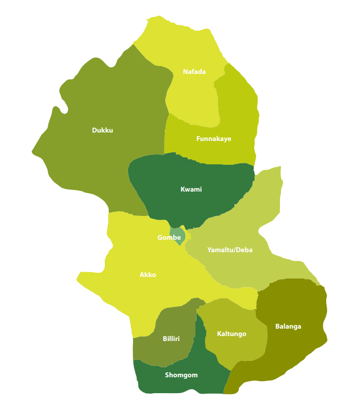
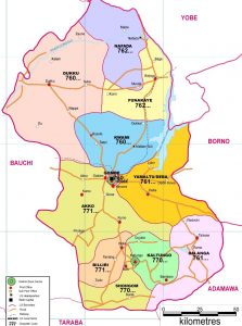
Gombe State has eleven Local Government Areas (LGA) namely, Akko, Balanga, Billiri, Dukku, Funakaye, Gombe, Kaltungo, Kwami, Nafada, Shongom, and Yamaltu Deba.
The following are administrative maps of Gombe State showing the local government areas
Historically, Gombe state is a fusion of two distinct groups of people, comprising the people of Gombe North and the ethnic grouping of Gombe South.
Gombe is located on latitude 9”30’ and 12”30’N, Longitude 8”5’and 11”45’E.
It has borders with Borno, Yobe, Adamawa, Taraba, and Bauchi states.
The State climate is generally warm, with temperatures not exceeding 300c during the months of March-May considered to be the hottest months. The following table gives other profile of the jewel state.
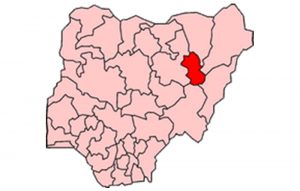
The following Map indicates in red the position of Gombe in relation to the thirty six (36) states of the federation.
The Emirate government, which had its Head quarters in Gombe Abba, was formed to effectively control what constitutes a larger part of the Gombe State, until the advent of the British in the early 20th century.
Under the British, the state was administered through the mechanism of two administrative units, i.e. Gombe Native Authority and Tangale Waja Native Authorities. The two Authorities constituted Gombe Division during the Colonial era. However, with independence in 1960 and the subsequent military administration, many changes occurred which led to the emergence of local government authorities. Thus, between 1976 and the present, the then two authorities had metamorphosed into the present 11 local governments.
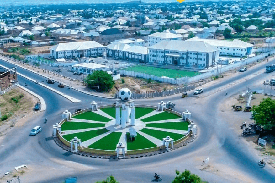
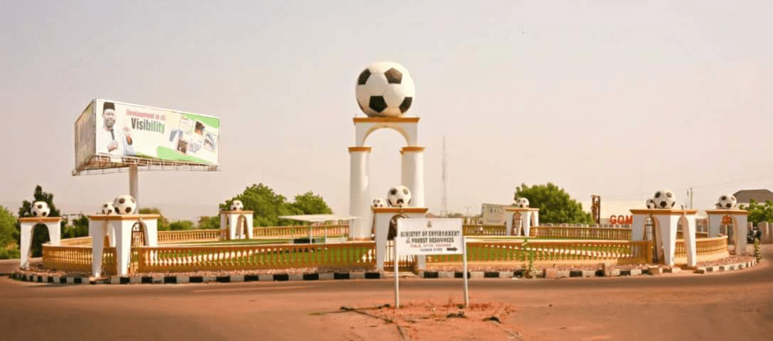
Capital: Gombe
Land Area: The State occupies a total land area of about 20,265sqkm.
Climate :Warm, exceeding 40″c during the hottest month (March – May)
Topography: Mainly mountainous, undulating and Hilly to the South-East and flat open plains in the Central, North, North-East, West and North-West.
Location: Latitude 9”30’ and 12”30’N, Longitude 8”5’and 11”45’E. The state lies in the centre of North east Geopolitical Zone of Nigeria. It shares common boundaries with Adamawa and Taraba State to the South, Bauchi State to the West, Borno State to the East and Yobe State to the North.
Power: The State is served by the PHCN National grid through the North-East PHCN substation located in Gombe State capital
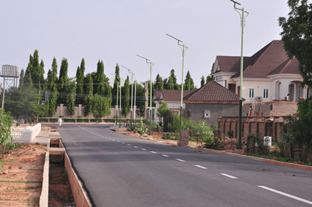
Roads: Five(5) Federal trunk “A” roads connect the State Capital with all parts of the Country. Twonship roads have been constructed in the State capital and all the major towns.
Airport: The State has an International Airport which is also surrounded by four (4) International Airport, located in Kano, Jos, Yola and Maiduguri.
Major Towns: Gombe the capital, Bajoga, Billiri, Kaltungo, Kumo, Dukku and Deba.
Ethnic CompositionMulti-ethnic, mainly made up of Fulani, Tangale, Waja, Bolawa, Tera,Jukun, Jara, Pero, Tula, Cham, Lunguda, Dadiya, Kamo, Awak, Kanuri, Hausa, Yoruba and Igbo.
Language Spoken: English is the official language, but as much as Hausa remain the commercial language amongst the people of the state, Fulfulde, Tangale, Tera, Waja, and Kanuri are commonly spoken.
Vegetation: Gombe is generally a Guinea Savannah grassland with concentration of wood lands in the South East and South West.
NAFADA LOCAL GOVERNMENT Nafada local government area is in Gombe state, North-east geopolitical zone of Nigeria and has its headquarters in the town…
Distance of communities, Nafada LGA and Gombe State capital Approximate distance between the communities to the LGA and State capital CommunityDistance from LGA HeadquarterDistance from State HeadquartersBarwo Wunde8.14KM91.65KMNafada0. KM97.88KMJigawa33.56KM126.36KMBarwo…
Benue local government areas and council wards AdoAkoge/OgbiloloApaEkileIgumale IIgumale IiIjigbanOgegeRoyongoUkwonyoUlayi AgatuEgbaEnungbaObagajiOdugbehoOgbauluOgwule OgbauluOgwule-KadunaOkokoloOshigbuduUsha ApaAkpete/OjantelleAukeEdikwu IEdikwu IiIgah-OkpayaIgoroIkobiObaOfokeOijiUgbokpo BurukuBinevEtuloMbaadeMbaakuraMbaapenMbaatirkyaaMbaazageeMbaikyongo/NyifonMbaityoughMbakyaanMbayaMbayakaShorov GbokoGboko/Central MarketGboko EastGboko North WestGboko SouthIgyorovMbaa VarakaaMbaankuMbadamMbadimMbakperMbakwenMbatanMbatserMbatyuUkpekpeYandev NorthYandev South GumaAbinsiKaambeMbabaiMbadwemMbawaMbayer/YandevNyievNzorovSaghevUvir Gwer…
List of Council Wards in Vandeikya LGA There are 12 council wards in Vandeikya LGA, namely: Mbadede Mbajor Tsambe Mbagbam Mbakyaha Mbagbera Ningev Mbakaange Township Mbayongo Mbatyough…


 and States in Nigeria")


