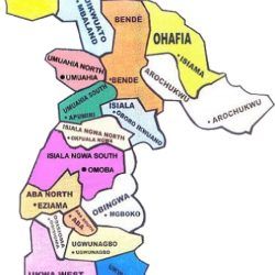
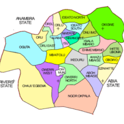
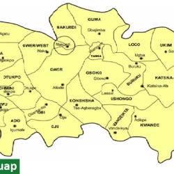
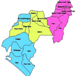
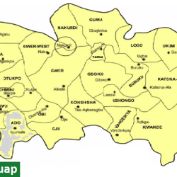
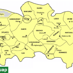
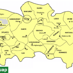
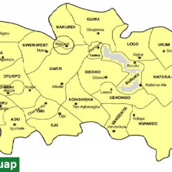
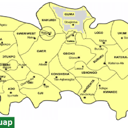
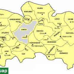
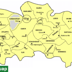
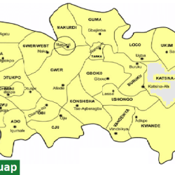
Enugu State map with Local Government Areas

ENUGU STATE, South-East of Nigeria, is one of the thirty-six States constituting the Nigerian Federation. It came into being on August 27, 1991 when the administration of President Ibrahim Babangida finally acquiesced to the long agitations of Waawa people for a State they could truly call their own.
Enugu State derives its name from the capital city, ENUGU (top of the hill) which is regarded as the oldest urban area in the Igbo speaking area of Southeast Nigeria. The city owes its geopolitical significance to the discovery of coal in 1909 by a team of British geologists.
The discovery of the solid mineral in the area brought about the emergence of a permanent cosmopolitan settlement which influenced the construction of a railway line to link the Enugu coal fields with the sea port in Port Harcourt for the export of the mineral.
Enugu State is one of the states in the eastern part of Nigeria. The state shares borders with Abia State and Imo State to the south, Ebonyi State to the east, Benue State to the northeast, Kogi State to the northwest and Anambra State to the west.
Enugu, the capital city of Enugu State, is approximately 2½ driving hours away from Port Harcourt, where coal shipments exited Nigeria. Enugu is also located within an hour’s drive from Onitsha, one of the biggest commercial cities in Africa and 2 hours drive from Aba, another very large commercial city, both of which are trading centers in Nigeria. The average temperature in this city is cooler to mild (60 degrees Fahrenheit) in its cooler months and gets warmer to hot in its warmer months (upper 80 degrees Fahrenheit) and very good for outdoor activities with family and friends or just for personal leisure.
Enugu has good soil-land and climatic conditions all year round, sitting at about 223 metres (732 ft) above sea level, and the soil is well drained during its rainy seasons. The mean temperature in Enugu State in the hottest month of February is about 87.16 °F (30.64 °C), while the lowest temperatures occur in the month of November, reaching 60.54 °F (15.86 °C). The lowest rainfall of about 0.16 cubic centimetres (0.0098 cu in) is normal in February, while the highest is about 35.7 cubic centimetres (2.18 cu in) in July.
The name of State derives from its capital city, Enugu. The word “Enugu” (from Enu Ugwu) means “the top of the hill”. The first European settlers arrived in the area in 1909, led by a British mining engineer, Albert Kitson. In his quest for silver, he discovered coal in the Udi Ridge. Colonial Governor of Nigeria Frederick Lugard took keen interest in the discovery, and by 1914 the first shipment of coal was made to Britain. As mining activities increased in the area, a permanent cosmopolitan settlement emerged, supported by a railway system. Enugu acquired township status in 1917 and became strategic to British interests. From Enugu the British administration was able to spread its influence over the Southern Province of Nigeria. The colonial past of Enugu is today evidenced by the Georgian building types and meandering narrow roads within the residential area originally reserved for the whites, an area which is today called the Government Reserved Area (GRA).
From being the capital of the Southern Provinces, Enugu became the capital of the Eastern Region (now divided into nine States), the capital of now defunct Federal Republic of Biafra, thereafter, the capital of East Central State, Anambra State, (old) Enugu State, and now the capital of the present Enugu State through a process of state creation and diffusion of administrative authority.
