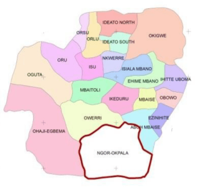
Ngor Okpala is a local government area in Imo state, Nigeria
Capital
Umuneke
Land area
561 km²
Communities
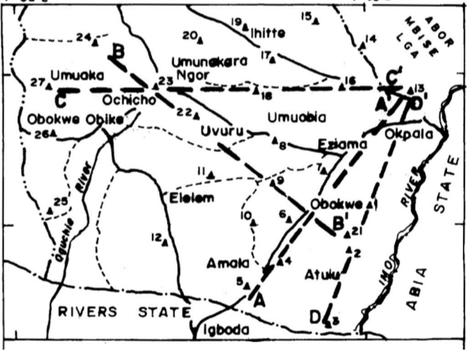
Umuowa, Obiangwu, Ntu, Alulu, Amala, Oburu, Obokwe, Eziama, Ohekelem, Nnorie, Umuhu, Ihite-Okwe, Obike, Elelem, Umuohiagu, Imerienwe, Nguru-Umuaro, Orishieze, Upe, Umuekwune, Logara, Umukabia-Ogodo
Markets
Ekeukwu Nnorie, Afor Umuohiagu, Eke Isu, Nkwoala Umuebi, Eke Uhie and Orie Obibi.
Okpala
Okpala is a popular place in Ngor Okpala LGA.
Okpala is one of the villages in Ama-Asaa, due to the popularity of the name it takes over the name ‘Ama-Asaa’, ‘Okpala Junction’. Okpala the central of the seven villages has four kindred which include Amankwu, Amaube, Umuokereke and Umuodah.
