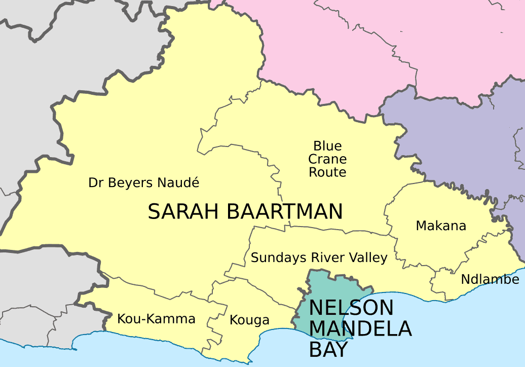
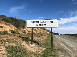
The Sarah Baartman region is situated in the western part of the Eastern Cape. It is the largest district in the province, covering approximately 60 000km².
The boundaries stretch from Bloukrans River in the west to the Great Fish River in the east, Nieu-Bethesda in the north to the Indian Ocean in the south.
Map of Sarah Baartman
The majority of its 388 201 people speak isiXhosa. English and Afrikaans are the next, most widely spoken, languages.
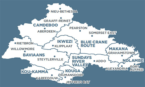
Sarah Baartman incorporates nine local municipalities and four portions called District Management Areas (DMAs).
Sarah Baartman’s nine local municipalities and their key towns are:
Baviaans (Steytlerville, Willowmore) Blue Crane Route (Cookhouse, Pearston, Somerset East) Camdeboo (Aberdeen, Graaff-Reinet, Nieu-Bethesda) Ikwezi (Jansenville, Klipplaat) Kouga (Hankey, Humansdorp, Jeffreys Bay, Oyster Bay, Patensie, St Francis Bay, Cape St Francis) Kou-Kamma (Joubertina, Kareedouw) Makana (Alicedale, Grahamstown, Riebeeck East) Ndlambe (Alexandria, Bathurst, Boknes, Bushmans River, Cannon Rocks,Kenton-on-Sea, Port Alfred) Sundays River Valley (Addo, Kirkwood, Paterson)
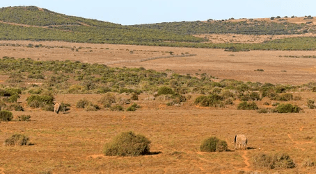
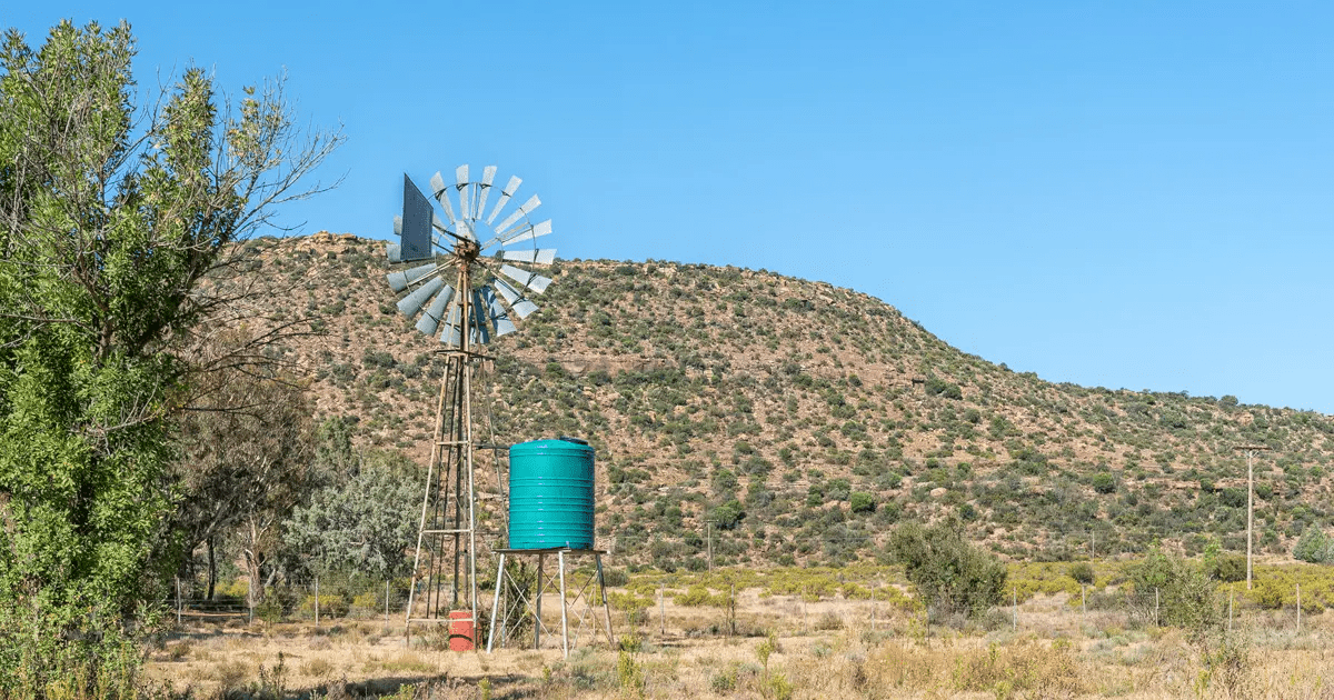
The Sarah Baartman region of the Eastern Cape traverses semi-desert plains, long mountains, rain-forests and golden beaches and the region is largely driven by agriculture and tourism.
The Sarah Baartman region is a natural, unspoiled district offering many malaria-free game viewing areas and a geographical profile that hosts all seven of South Africa’s plant biomes.
Situated at the tail end of the Garden Route, Sarah Baartman can be accessed by air travel via the airports of Port Elizabeth and George and the smaller airstrips of Graaff-Reinet and Plettenberg Bay.
The region offers a variety of accommodation to suit every taste, including luxury guest houses, Bed and Breakfast establishments, Game Lodges, chalets, caravan and camping facilities as well as self-catering cottages on farms in the area can be found in the area.
More
Sarah Baartman’s life & times BIRTH: 1789 in South Africa DEATH: 29 Dec 1815 (aged 25–26) in Paris, City of Paris, Île-de-France, France BURIAL SITE:…