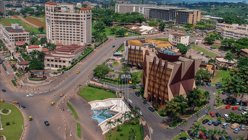
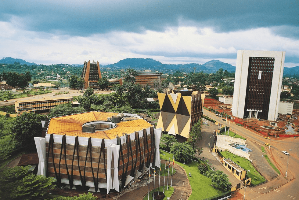
Cameroon has a total of 180 MPs (Members of Parliament) at its national legislative house in Yaoundé, the capital.
The law makers are from the 10 regions of the country.
Number of Cameroon MPs (Legislators) by region, 2023
Adamawa … 10
Centre … 28
East … 11
Far North … 29
Littoral (Coastline) … 19
North … 12
Northwest … 20
South … 11
Southwest … 15
West … 24
Total: 180
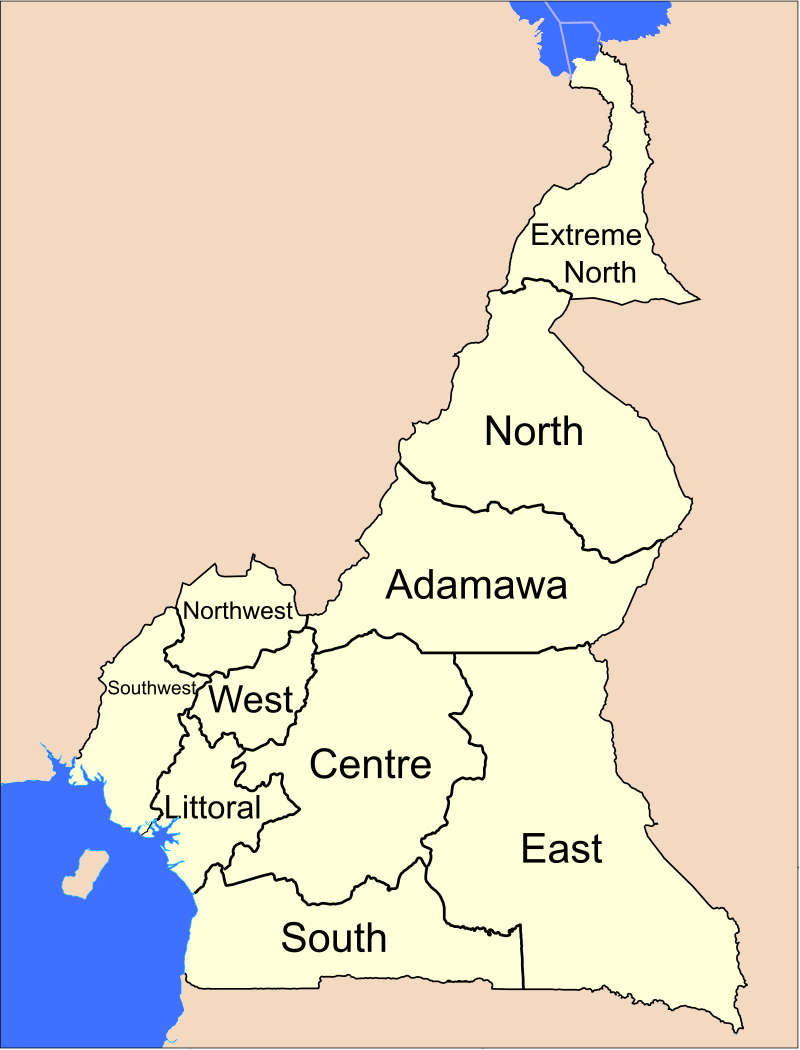
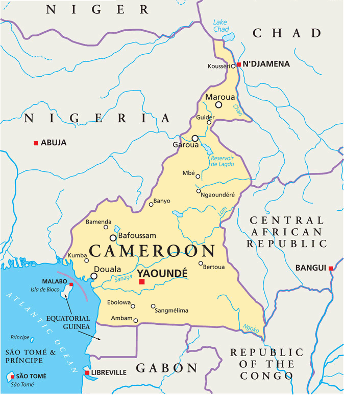
Regions of Cameroon
Cameroon comprises ten regions, namely:
Adamawa
Centre
East
Far North
Littoral (Coastline)
North
Northwest
South
Southwest
West
The three northernmost regions are the Far North (Extrême Nord), North (Nord), and Adamawa (Adamaoua).
Directly south of them are the Centre (Centre) and East (Est).
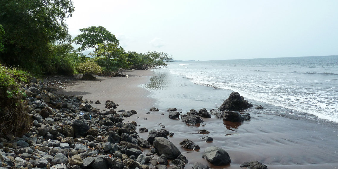
The South Province (Sud) lies on the Gulf of Guinea and the southern border.
Cameroon’s western region is split into four smaller regions: The Littoral (Littoral) and Southwest (Sud-Ouest) regions are on the coast, and the Northwest (Nord-Ouest) and West (Ouest) regions are in the western grassfields.
The Northwest and Southwest were once part of British Cameroons; the other regions were in French Cameroun.
In 2008, the President of the Republic of Cameroon, President Paul Biya signed decrees abolishing “provinces” and replacing them with “regions”. All of the country’s ten provinces are now known as regions.
Most of these provinces were designated in the 1960s alongside Centre-South Province (split into Centre and South in 1983). At the same time, Adamawa and Far North Provinces were split from North Province.
Cameroon
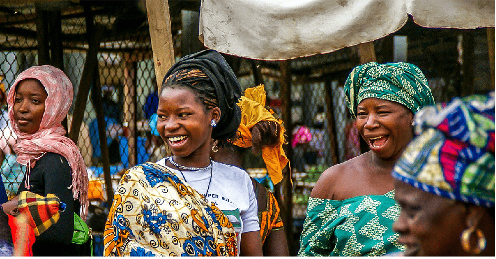
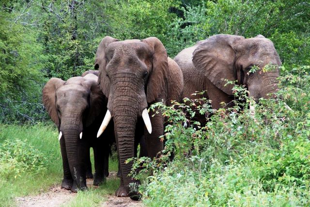
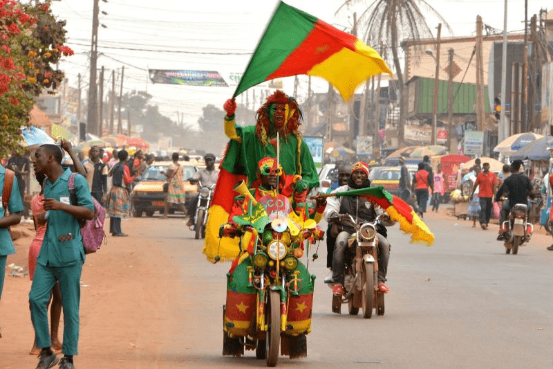
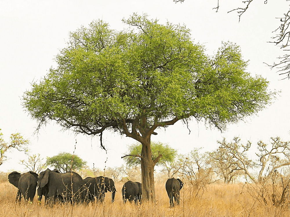
Cameroon is a country in Central Africa. It is known for its cultural diversity, with more than 200 ethnic groups and languages spoken in the country. It is also rich in natural resources, such as oil, gas, timber, cocoa, coffee, and minerals.
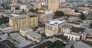
Capital City: Yaounde Area: 475 442 km2 Population: 23 739 218 hab. (2015) Currency: Franc CFA BEAC (XAF)
It shares boundaries with Nigeria to the west and north, Chad to the northeast, the Central African Republic to the east, and Equatorial Guinea, Gabon and the Republic of the Congo to the south.
Its coastline lies on the Bight of Biafra, part of the Gulf of Guinea and the Atlantic Ocean.
Due to its strategic position at the crossroads between West Africa and Central Africa, it has been categorized as being in both camps. Its nearly 27 million people speak 250 native languages and English or French or both.
Early inhabitants of the territory included the Sao civilisation around Lake Chad, and the Baka hunter-gatherers in the southeastern rainforest.
Portuguese explorers reached the coast in the 15th century and named the area Rio dos Camarões (Shrimp River), which became Cameroon in English. Fulani soldiers founded the Adamawa Emirate in the north in the 19th century, and various ethnic groups of the west and northwest established powerful chiefdoms and fondoms.
Cameroon became a German colony in 1884 known as Kamerun. After World War I, it was divided between France and the United Kingdom as League of Nations mandates.
The Union des Populations du Cameroun (UPC) political party advocated independence, but was outlawed by France in the 1950s, leading to the national liberation insurgency fought between French and UPC militant forces until early 1971.
In 1960, the French-administered part of Cameroon became independent, as the Republic of Cameroun, under President Ahmadou Ahidjo. The southern part of British Cameroons federated with it in 1961 to form the Federal Republic of Cameroon.
The federation was abandoned in 1972. The country was renamed the United Republic of Cameroon in 1972 and back to the Republic of Cameroon in 1984 by a presidential decree by president Paul Biya.
Biya, the president, has led the country since 1982 following Ahidjo’s resignation; he previously held office as prime minister from 1975 onward. Cameroon is governed as a Unitary Presidential Republic.
Baka Village of Bemba, Cameroon The Baka village of Bemba, located in South-Eastern Cameroon, is home to approximately 70 people and forms part of the…
World Heritage Sites in Cameroon UNESCO World Heritage Sites in Cameroon are: Dja Faunal Reserve Sangha Trinational > View other UNESCO World Heritage Sites More…
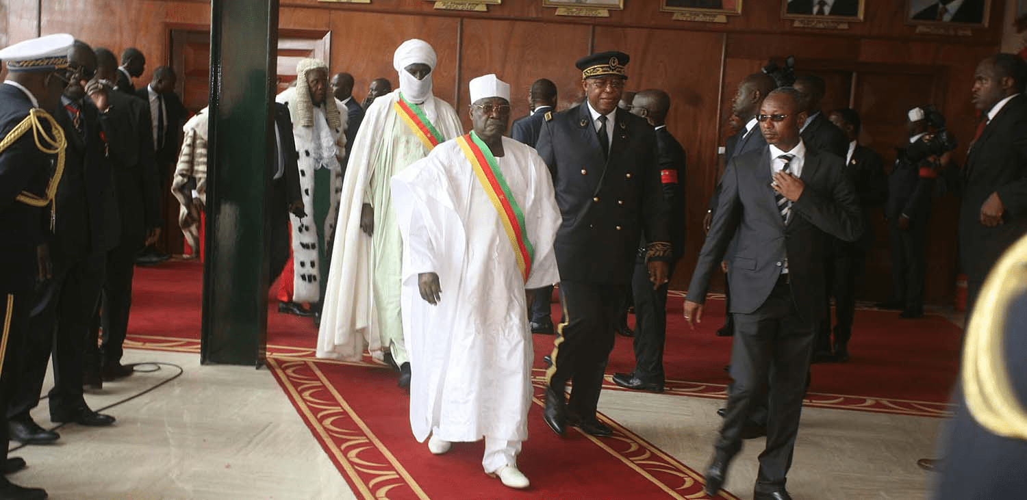
First legislature, Cameroon National Assembly Members of the first legislature of Cameroon National Assembly ABDALLAH MOUSSA HAMMAN CNU-NORTH TeacherCommittee on Finance ABDOULAYE AHMADOU UNC-NORD InstituteurCommission…
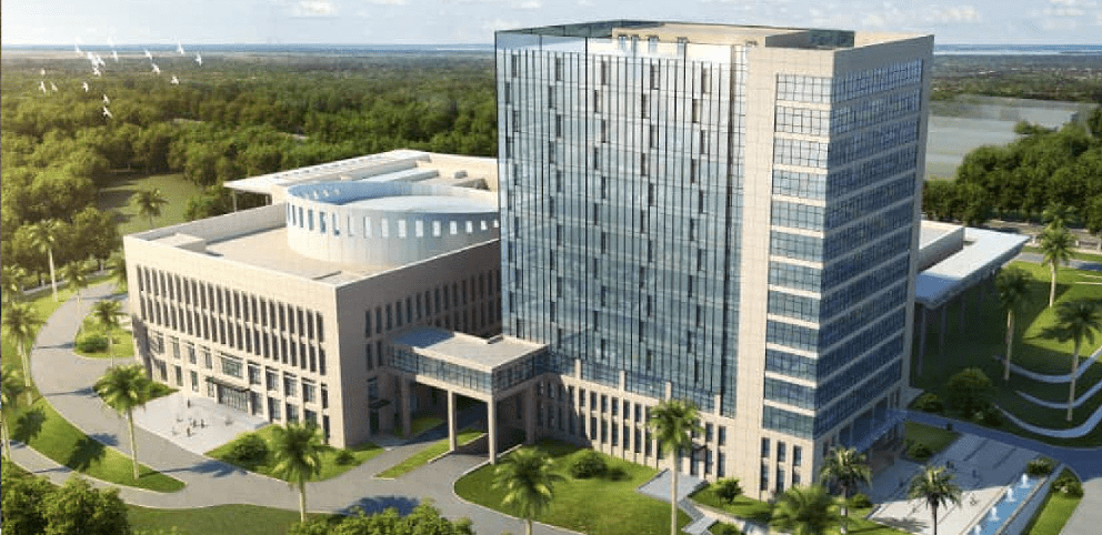
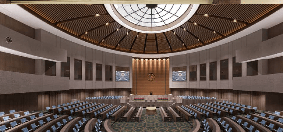
Cameroon National Assembly The National Assembly of Cameroon legislates and oversees government activities. Address Yaounde, Cameroon Tel : +237 222 22 04 84 Sittings…
List of Cameroon regions by population density Cameroon regions by population density, from most densely to the least populated are: RegionPopulation density (/km2)West97Northwest69Littoral67Far North54Southwest34Centre24North13Adamawa8South8East5 10 regions of…
5 most populated regions in Cameroon Cameroon’s 5 most populated regions are: Centre Far North Littoral North Northwest List of Cameroon regions by population. From largest…
5 least populated regions in Cameroon Cameroon’s 5 least populated regions are: South East Adamawa Southwest West List of Cameroon regions by population. From smallest to…
List of Cameroon regions by population Largest List of Cameroon regions by population. From largest to smallest RegionPopulation (2022 est)Centre3,905,000Far North3,796,000Littoral3,178,000North2,297,000Northwest1,906,000West1,875,000Southwest1,503,000Adamawa1,124,000East830,000South773,000 Smallest List of Cameroon regions…
Smallest Cameroon regions by land area The 5 smallest Cameroon regions by land area are: West Northwest Littoral Southwest Far North List of Cameroon regions by…
Largest Cameroon regions by land area The 5 largest Cameroon regions by land area are: East Centre North Adamawa South List of Cameroon regions by land…
 by region")


