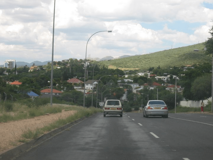
Places and their polling units in Maun East, Botswana are:
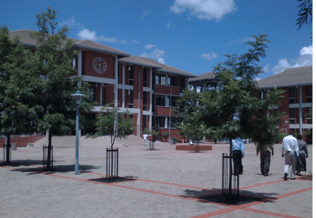
008 Thamalakane South 0031 Borolong Kgotla 0032 Thito Primary School 0033 Thuso Rehabilitation Centre 0034 Maun Stadium 009 Thamalakane North 0035 Letsholathebe Primary School 0036 Wenela VDC 0037 Maun Counselling Centre 0038 Thamalakane Primary School 0039 UCCSA Church 0040 Sedie Hotel Tent 0041 Matlapana Old Bridge Tent 010 Matlapana 0042 Matlapana Primary School 0043 Legothwana VDC 0044 University of Botswana 0045 Sexaxa VDC 0046 Open Space Near The Matlapana Circle 011 Disana 0047 Old Disana Clinic 0048 Disaneng Primary School 0049 New Disana Tent 0050 Bocodol 012 Boseja North 0051 Boseja Primary School 0052 Tsodilo JSS 0053 Young Stars Football Grounds 0054 Delta Waters International School 0055 Andrew Wellio Primary School 013 Boseja South 0056 Boseja Kgotla 0057 Thogo Ya Tonki Tent 0058 Samedupi VDC 0059 New Boseja Clinic 0060 Leapotswe English Medium School 0061 Black Lions Football Ground Tent 0062 Mmaphiri Football Ground Tent 0063 Midas Tent 014 Gxhabara 0064 Kubung Primary School 0065 Maun Senior Secondary School 0066 Gxhabara Primary School 0067 Xobe 1 VDC 0068 Thamalakane East VDC 0069 Gxhabara VDC 0070 Samedupe No. 2 VDC 015 Makalamabedi 0071 Makalamabedi Primary School 0072 Tatamoga Mobile Stop 0073 Bonno Ranch Tent 0074 Palamaokuwe Ranch Tent
0075 Bofiwakgomo Ranch Tent 0076 Phenyo Ranch Tent 0077 Chanoga Boseja Mobile Stop 0078 Kookale Boseja Tent 0079 Xobe 2 VDC 0080 Dikgathong VDC 016 Chanoga-Phuduhudu 0081 Chanoga Primary School 0082 Xhana Mobile Stop 0083 Mogolokwane Primary School 0084 Mawana VDC 0085 Tsibogo-La-Matebele Tent 0086 Kookale Tent 0087 Xeridom Mobile Clinic 0088 Nxai Pan Wildlife Offices 017 Sankuyo-Shorobe 0089 Sankuyo Primary School 0090 Shorobe Primary School 0091 Shokomoka Tent 0092 Matsaudi Primary School 0093 Mochaba Tent 0094 Shorobe Kgotla 018 Khwai-Mababe 0095 Khwai VDC 0096 Mababe Primary School 0097 Xakanaxa Wildlife Camp
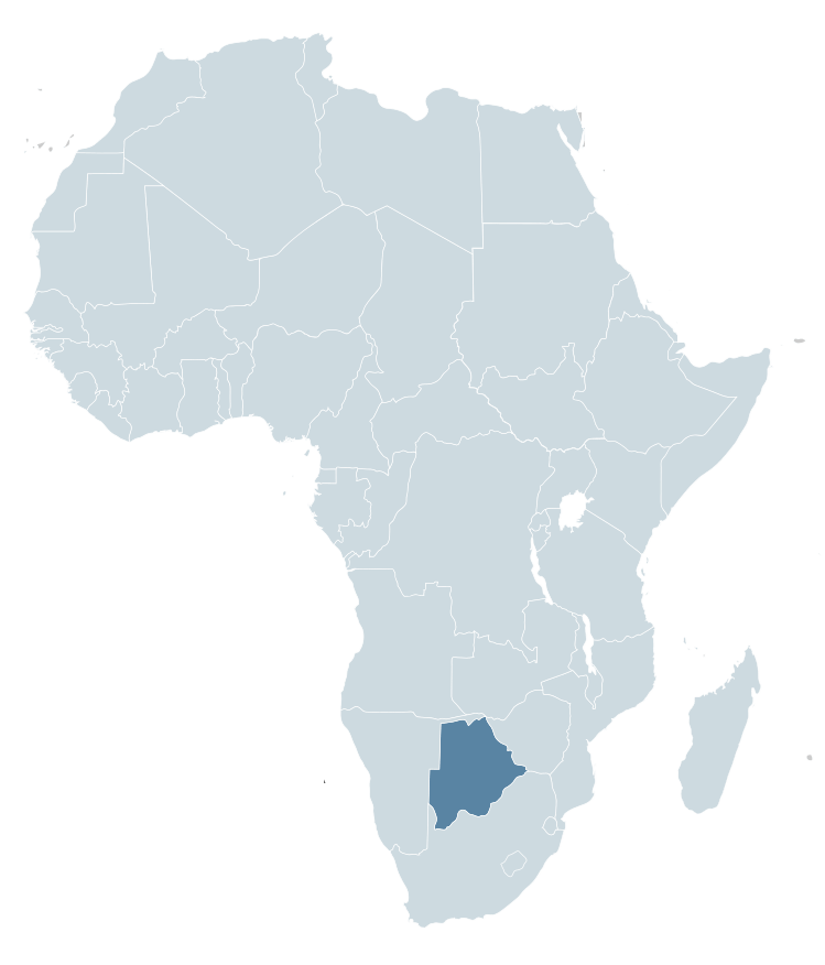
Botswana is a country in Africa. It is topographically flat, with approximately 70 percent of its territory being the Kalahari Desert.
It is bordered by South Africa to the south and southeast, Namibia to the west and north, and Zimbabwe to the northeast.
Capital: Gaborone Currency: Botswanan Pula Official language: English Population: 2.588 million (2021) World Bank Dialing code: +267 Gross Domestic Product: 17.61 billion USD (2021) World Bank
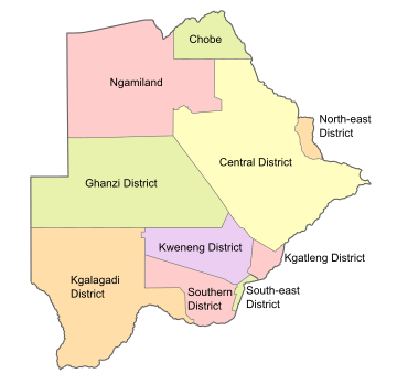
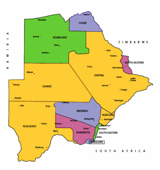
Botswana’s ten districts are:
Southern District
South-East District
Kweneng District
Kgatleng District
Central District
North-East District
Ngamiland District
Kgalagadi District
Chobe District
Ghanzi District
Botswana’s councils created from urban or town councils are: Gaborone City, Francistown, Lobatse Town, Selebi-Phikwe Town, Jwaneng Town, Orapa Town and Sowa Township.
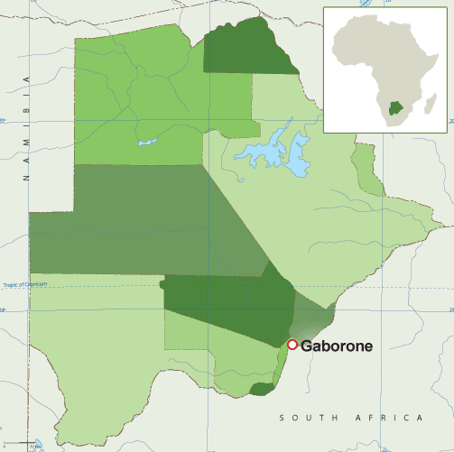
Districts of BotswanaMap of BotswanaMap of BotswanaMaps of Africa showing BotswanaFlag of Botswana Coat of arms of Botswana
The name Botswana refers to ‘Land of the Tswana’. The landlocked, Southern Africa country is officially known as the Republic of Botswana.
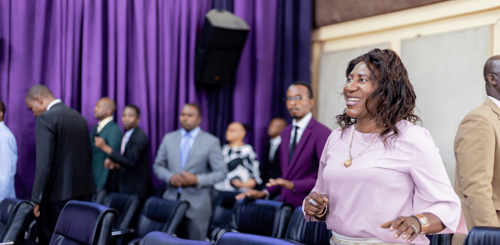
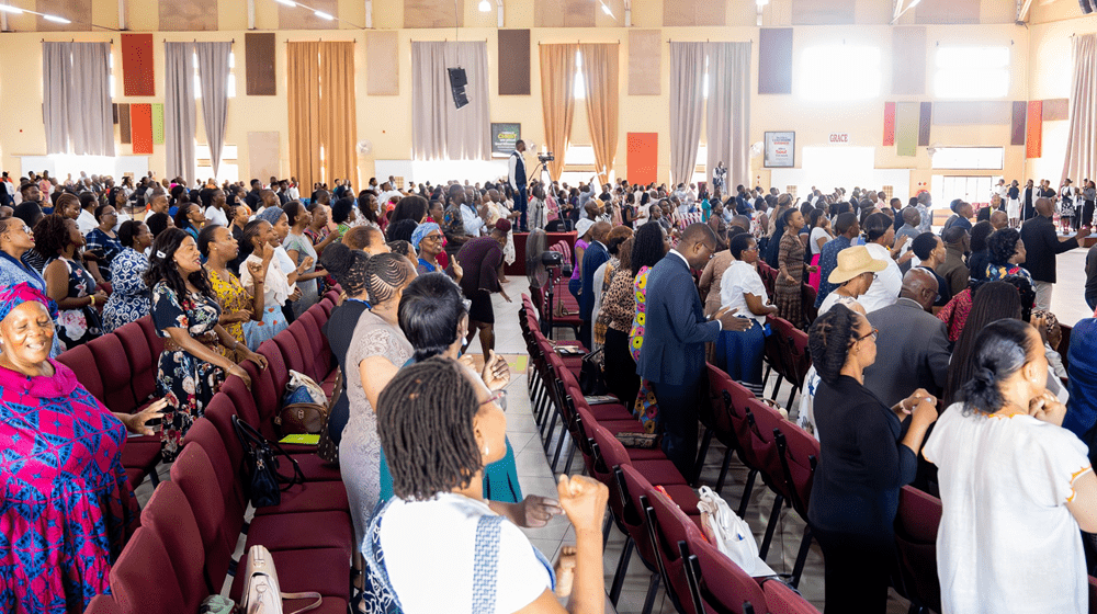
Living Faith Church (Winners’ Chapel) Gaborone, BotswanaWinners’ Chapel, GaboroneGaborone
Botswana is connected to Zambia through the Kazungula Bridge making it the world’s shortest border between two countries.
A country of slightly over 2 million people (2021), Botswana is one of the most sparsely populated countries in the world. It is essentially the nation state of the Tswana ethnic group, who make up 79% of the population.
Makgadikgadi Pans National Park, Botswana
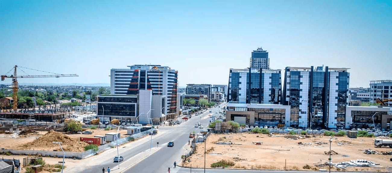
About 11.6 per cent of the population lives in the capital and largest city, Gaborone.
Formerly one of the world’s poorest countries—with a GDP per capita of about US$70 per year in the late 1960s—it has since transformed itself into an upper-middle-income country, with one of the world’s fastest-growing economies.
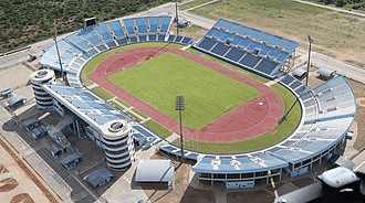
FrancistownFrancistown Stadium
The Tswana ethnic group were descended mainly from Bantu-speaking tribes who migrated southward of Africa to modern Botswana, living in tribal enclaves as farmers and herders.
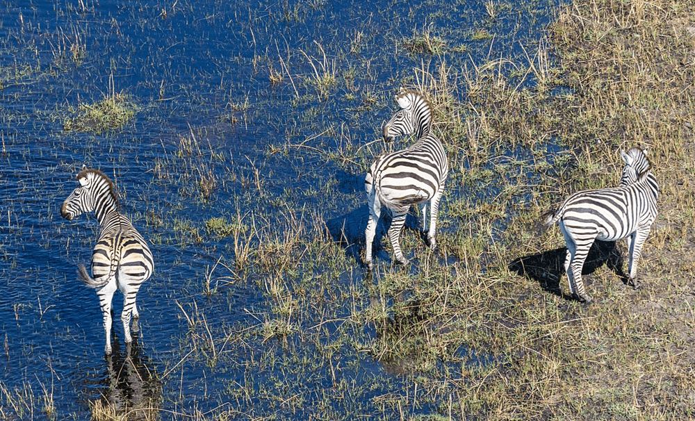
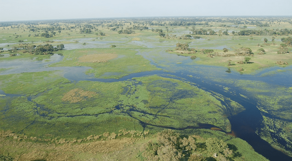
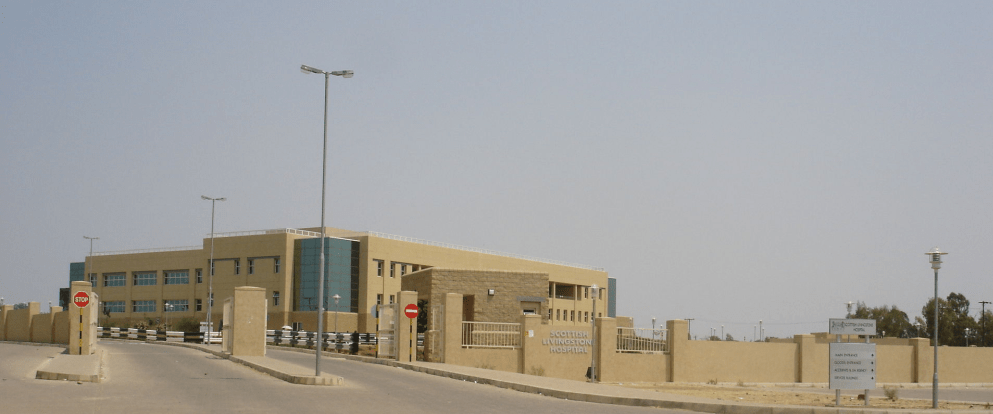
Zebras at the Okavango Basin Okavango Delta in Botswana Scottish Livingstone Hospital, Molepolole, Botswana
In 1885, the British colonised the area and declared a protectorate under the name of Bechuanaland.
As colonisation stopped, Bechuanaland became an independent republic under its current name on 30 September 1966.
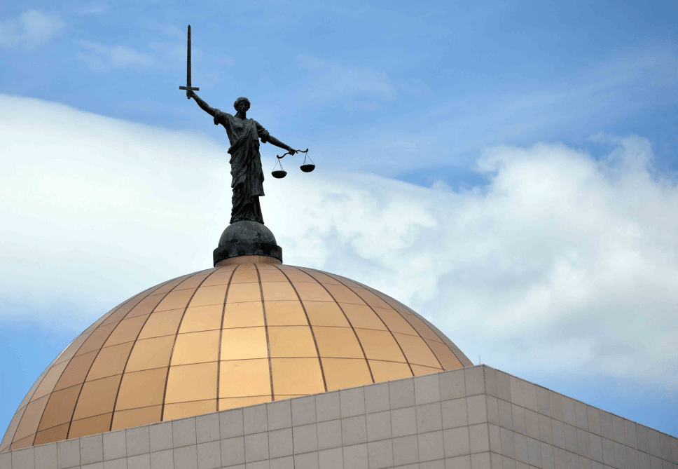
Since then, it has been a representative republic, with a consistent record of uninterrupted democratic elections and the lowest perceived corruption ranking in Africa since at least 1998.
The economy is dominated by mining and tourism. Botswana has a GDP (purchasing power parity) per capita of about $18,113 as of 2021, one of the highest in subsaharan Africa.
Botswana is the world’s biggest diamond producing country.
Its relatively high gross national income per capita gives the country a high standard of living and the third-highest Human Development Index of continental Sub-Saharan Africa (after Gabon and South Africa).
The country has been adversely affected by the HIV/AIDS epidemic. In 2002, Botswana began offering anti-retroviral drugs (ARVs) to help combat the epidemic.
Botswana is a member of the Southern African Customs Union, the Southern African Development Community, the Commonwealth of Nations, and the United Nations.
More
Places, polling units in Maun West, Botswana Botswana places, polling units Places and their polling units in Maun West, Botswana 019 Komana-Toteng0098 Toteng Primary School0099 Bosetu Residential…
Places, polling units in Tati East, Botswana Botswana places, polling units Places and their polling units in Tati East, Botswana 047 Senyawe0302 Butale Primary School0303 Senyawe Primary…
Places, polling units in Okavango, Botswana Botswana places, polling units Places and their polling units in Okavango, Botswana 038 Gani-Nxaunxau0234 Nxaunxau Primary School0235 Tsodilo Mobile Stop0236…
Places, polling units in Ngami, Botswana Botswana places, polling units Places and their polling units in Ngami, Botswana 029 Etsha 13-Jao0155 Jao Mobile Stop0156 Mombo Camp0157…
Places, polling units in Chobe, Botswana Botswana places, polling units Places and their polling units in Chobe, Botswana 001 Kasane Plateau0001 Plateau Kgotla0002 Plateau Primary School002…
Botswana places, polling units List of places and their polling units in Botswana Independent Electoral Commission of Botswana, 2019 01 Chobe 001 Kasane Plateau0001…
Places, polling stations in Mochudi East, Botswana Botswana places, polling stations Places and their polling stations in Mochudi East, Botswana 239 Bokaa1177 Raditladi Primary School1178 Bokaa Community…
Places, polling stations in Boteti East, Botswana Botswana places, polling stations Places and their polling stations in Boteti East, Botswana 221 Mmeya-Mokubilo1106 Makgaba Mobile Stop1107 Mokubilo Primary…
Places, polling stations in Mahalapye East, Botswana Botswana places, polling stations Places and their polling stations in Mahalapye East, Botswana 178 Makwate-Taupye0895 Shakwe Kgotla0896 Shakwe Primary School0897…
List of polling units in Botswana The polling units in Botswana are: 01 Chobe 001 Kasane Plateau0001 Plateau Kgotla0002 Plateau Primary School002 Kasane Central0003 Kasane Primary…
Botswana polling units Independent Electoral Commission of Botswana, 2019 List of polling units in Botswana 01 Chobe 001 Kasane Plateau0001 Plateau Kgotla0002 Plateau…
Places, polling stations in Ghanzi South, Botswana Botswana places, polling stations Places and their polling stations in Ghanzi South, Botswana 482 Metsimantsho-Ncojane2230 Metsimantsho Primary School2231 Ranyane Kgotla2232…
Places, polling stations in Ghanzi North, Botswana Botswana places, polling stations Places and their polling stations in Ghanzi North, Botswana 471 Grootlaagte2200 Grootlaagte Primary School2201 Farm 142-Nk…