Places and their polling stations in Mochudi East, Botswana
239 Bokaa 1177 Raditladi Primary School 1178 Bokaa Community Hall 1179 Bokaa Kgotla (Tent) 1180 Mmamashia Water Treatment Plant (Tent) 1181 Tlhaakgame Primary School 240 Matebele 1182 Matebele Primary School 1183 Ramodibe Mobile Stop (Tent) 1184 Matebele Community Hall 241 Oodi 1185 Oodi Primary School 1186 Oodima JSS 1187 Oodi Weavers 1188 Oodi College of Applied Arts And Technology 242 Modipane 1189 Modipane Primary School 1190 Dikwididi Primary School 1191 Mokatse Kgotla (Tent) 1192 Mokatsana VDC (Tent) 243 Sikwane-Mabalane 1193 Sikwane Primary School 1194 Mabalane Primary School 1195 Sikwane Agriculture Office (Tent) 1196 Mabalane Dutch Reformed Church 244 Mmathubudukwane-Ramonaka 1197 Letsebe Primary School 1198 Commerce House (Tent) 1199 Ramonaka Primary School 1200 Dikalakane (Tent) 245 Malolwane 1201 Rankoa Primary School 1202 Matlou Kgotla (Tent) 1203 Motlhabane Kgotla (Tent) 1204 Deep Level (Tent) 1205 Bodiakhudu Lands (Tent) 246 Oliphant’s Drift-Ramotlabaki 1206 Ramotlabaki Primary School 1207 Palla Camp (Tent) 1208 Oliphant’s Drift Primary School 247 Boseja North 1209 Education Centre 1210 Lady Mitchinson Primary School 1211 Boseja North Kgotla 1212 International Pentecostal Church 248 Boseja Central 1213 Boseja Central Kgotla (Tent) 1214 Sedibelo JSS 1215 Assemblies of God Church 249 Boseja South 1216 Kgafela Primary School 1217 Radikolo JSS
1218 International Church 1219 Matlhage Agriculture Office (Tent) 1220 Saint Faith Church
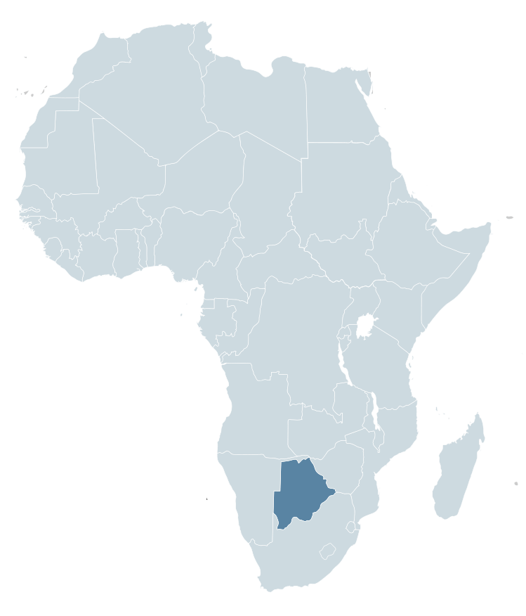
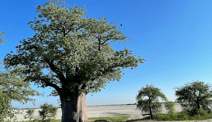
Botswana is a country in Africa. It is topographically flat, with approximately 70 percent of its territory being the Kalahari Desert.
It is bordered by South Africa to the south and southeast, Namibia to the west and north, and Zimbabwe to the northeast.
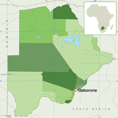
Capital: Gaborone Currency: Botswanan Pula Official language: English Population: 2.588 million (2021) World Bank Dialing code: +267 Gross Domestic Product: 17.61 billion USD (2021) World Bank
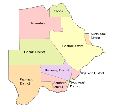
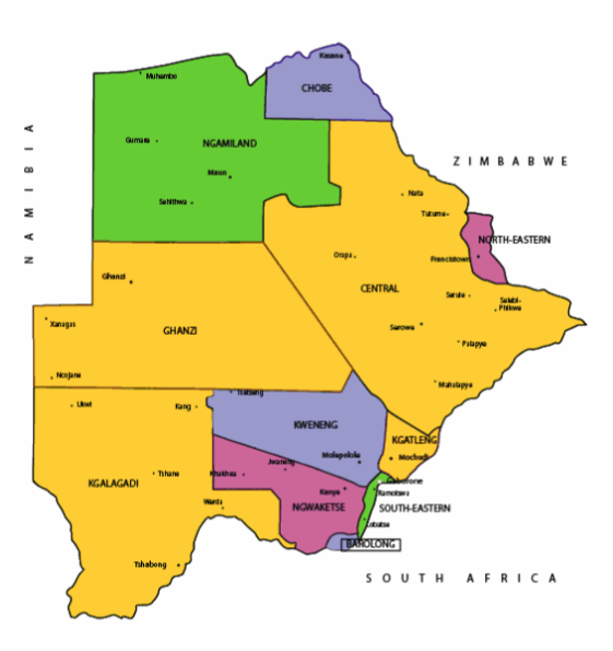
Botswana’s ten districts are:
Southern District
South-East District
Kweneng District
Kgatleng District
Central District
North-East District
Ngamiland District
Kgalagadi District
Chobe District
Ghanzi District
Botswana’s councils created from urban or town councils are: Gaborone City, Francistown, Lobatse Town, Selebi-Phikwe Town, Jwaneng Town, Orapa Town and Sowa Township.
Districts of BotswanaMap of BotswanaMap of BotswanaMaps of Africa showing BotswanaFlag of Botswana Coat of arms of Botswana
The name Botswana refers to ‘Land of the Tswana’. The landlocked, Southern Africa country is officially known as the Republic of Botswana.
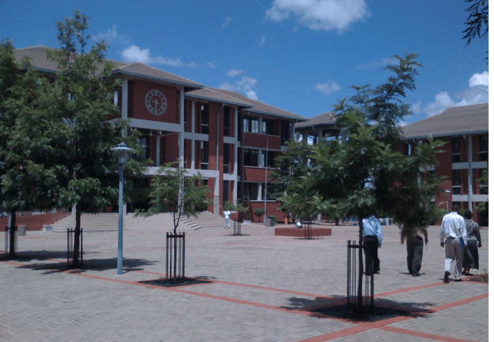
Living Faith Church (Winners’ Chapel) Gaborone, BotswanaWinners’ Chapel, GaboroneGaborone
Botswana is connected to Zambia through the Kazungula Bridge making it the world’s shortest border between two countries.
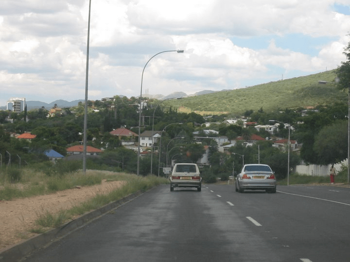
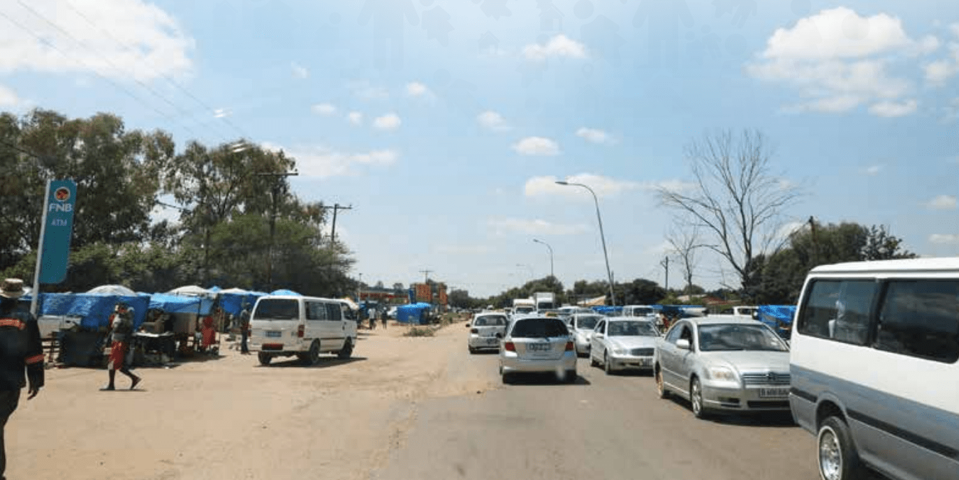
A country of slightly over 2 million people (2021), Botswana is one of the most sparsely populated countries in the world. It is essentially the nation state of the Tswana ethnic group, who make up 79% of the population.
Makgadikgadi Pans National Park, Botswana
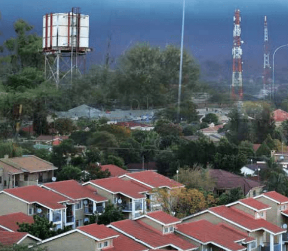
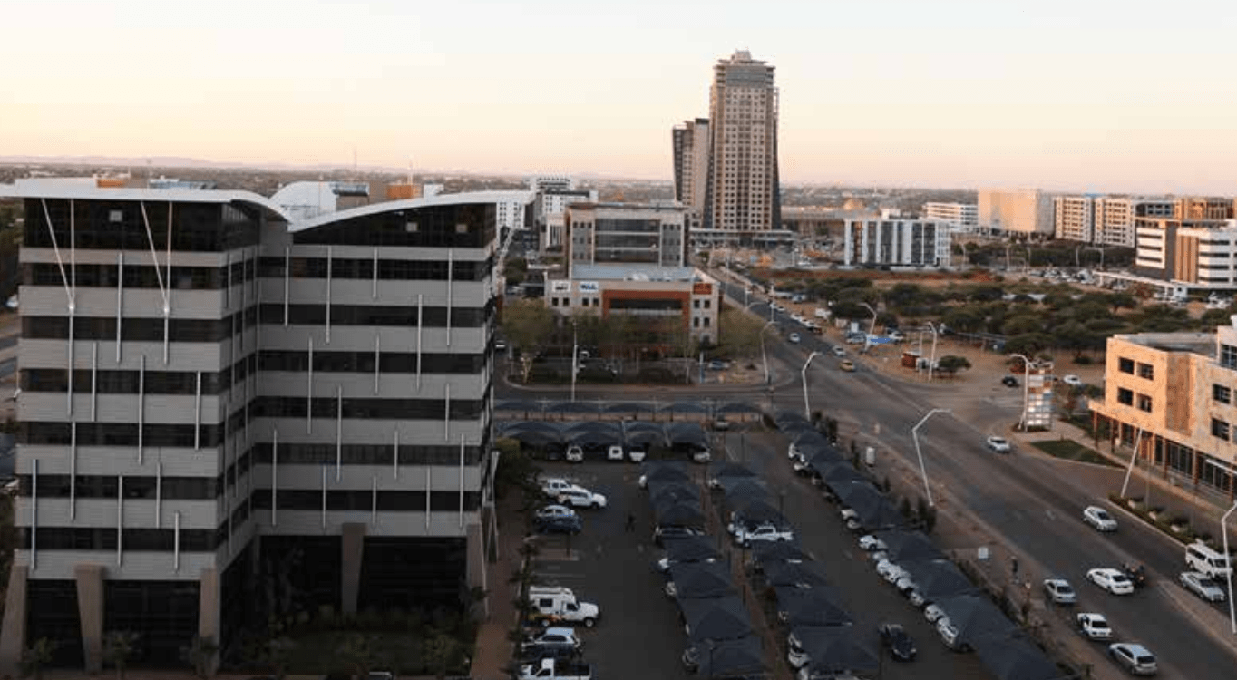
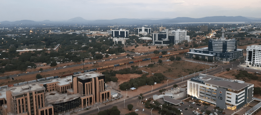
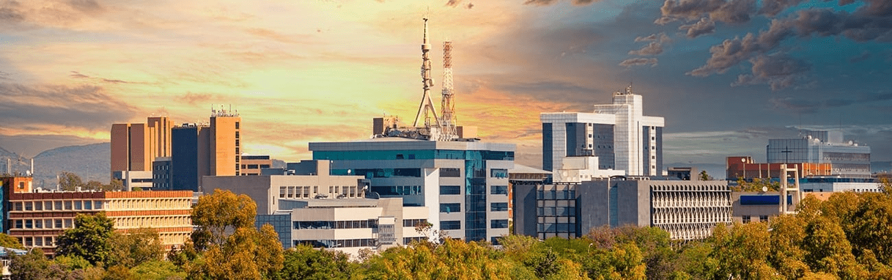
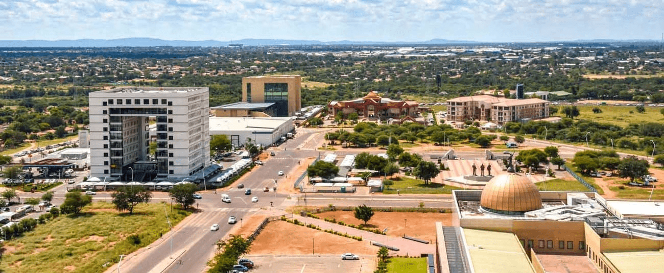
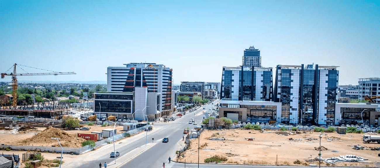
About 11.6 per cent of the population lives in the capital and largest city, Gaborone.
Formerly one of the world’s poorest countries—with a GDP per capita of about US$70 per year in the late 1960s—it has since transformed itself into an upper-middle-income country, with one of the world’s fastest-growing economies.
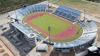
FrancistownFrancistown Stadium
The Tswana ethnic group were descended mainly from Bantu-speaking tribes who migrated southward of Africa to modern Botswana, living in tribal enclaves as farmers and herders.
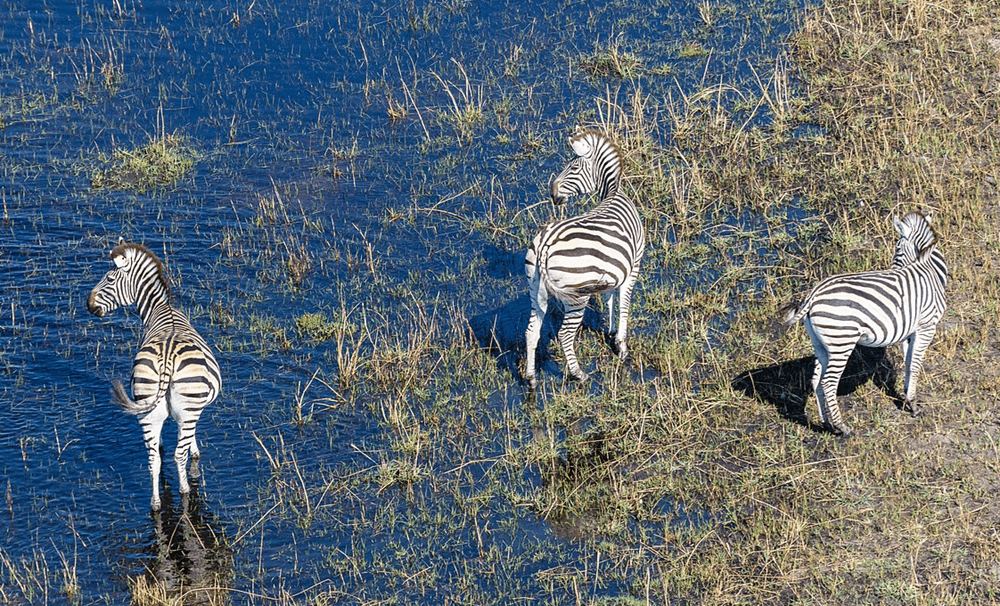
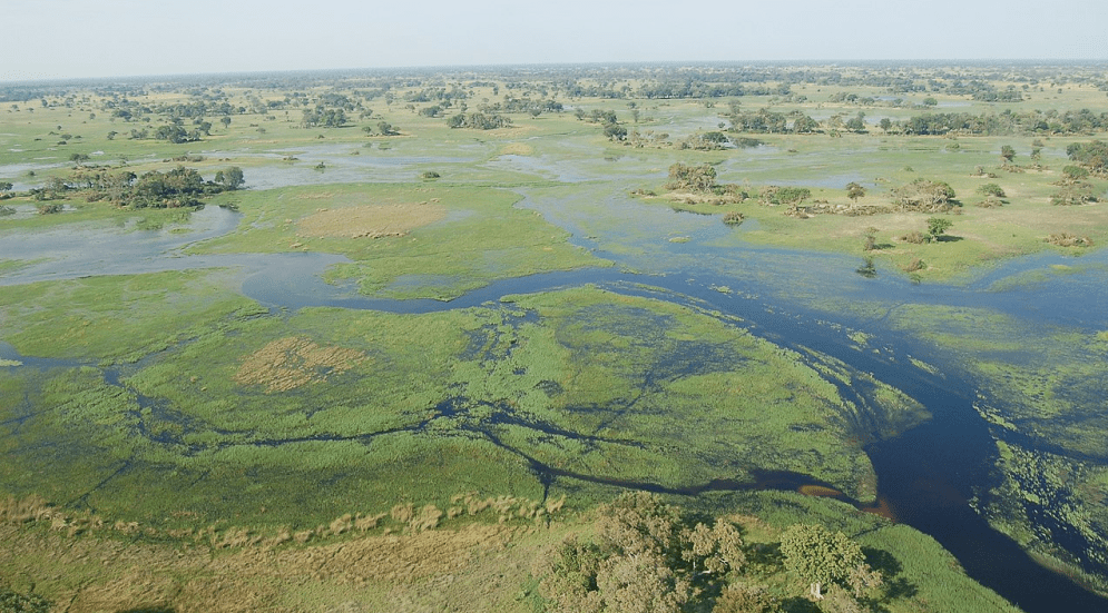
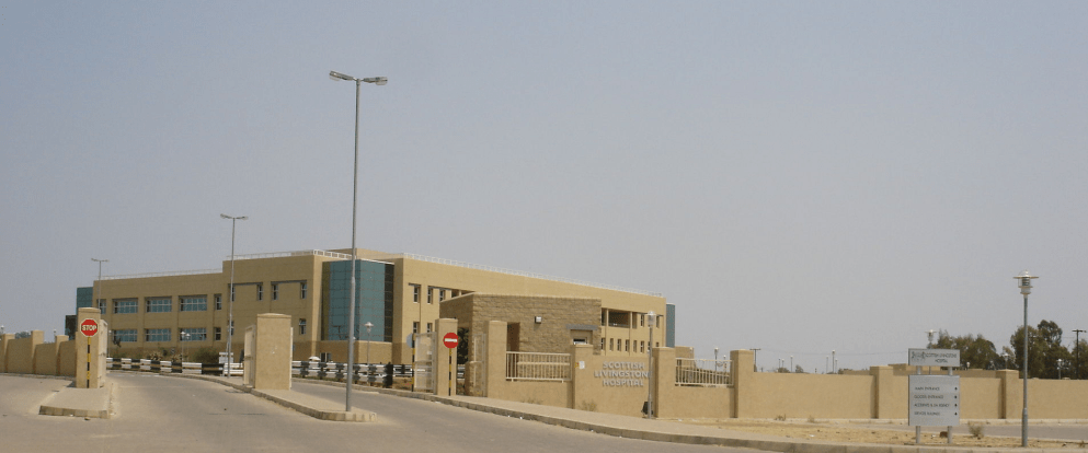
Zebras at the Okavango Basin Okavango Delta in Botswana Scottish Livingstone Hospital, Molepolole, Botswana
In 1885, the British colonised the area and declared a protectorate under the name of Bechuanaland.
As colonisation stopped, Bechuanaland became an independent republic under its current name on 30 September 1966.
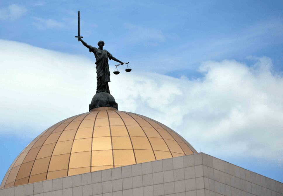
Since then, it has been a representative republic, with a consistent record of uninterrupted democratic elections and the lowest perceived corruption ranking in Africa since at least 1998.
The economy is dominated by mining and tourism. Botswana has a GDP (purchasing power parity) per capita of about $18,113 as of 2021, one of the highest in subsaharan Africa.
Botswana is the world’s biggest diamond producing country.
Its relatively high gross national income per capita gives the country a high standard of living and the third-highest Human Development Index of continental Sub-Saharan Africa (after Gabon and South Africa).
The country has been adversely affected by the HIV/AIDS epidemic. In 2002, Botswana began offering anti-retroviral drugs (ARVs) to help combat the epidemic.
Botswana is a member of the Southern African Customs Union, the Southern African Development Community, the Commonwealth of Nations, and the United Nations.
More
Places, polling stations in Mochudi West, Botswana Botswana places, polling stations Places and their polling stations in Mochudi West, Botswana 250 Rasesa1221 Rasesa Primary School1222 Borite (Tent)1223…
Places, polling stations in Boteti East, Botswana Botswana places, polling stations Places and their polling stations in Boteti East, Botswana 221 Mmeya-Mokubilo1106 Makgaba Mobile Stop1107 Mokubilo Primary…
Places, polling stations in Mahalapye East, Botswana Botswana places, polling stations Places and their polling stations in Mahalapye East, Botswana 178 Makwate-Taupye0895 Shakwe Kgotla0896 Shakwe Primary School0897…
Places, polling units in Tati East, Botswana Botswana places, polling units Places and their polling units in Tati East, Botswana 047 Senyawe0302 Butale Primary School0303 Senyawe Primary…
Places, polling units in Maun East, Botswana Botswana places, polling units Places and their polling units in Maun East, Botswana are: 008 Thamalakane South0031 Borolong Kgotla0032 Thito…
Places, polling stations in Ghanzi South, Botswana Botswana places, polling stations Places and their polling stations in Ghanzi South, Botswana 482 Metsimantsho-Ncojane2230 Metsimantsho Primary School2231 Ranyane Kgotla2232…
Places, polling stations in Ghanzi North, Botswana Botswana places, polling stations Places and their polling stations in Ghanzi North, Botswana 471 Grootlaagte2200 Grootlaagte Primary School2201 Farm 142-Nk…