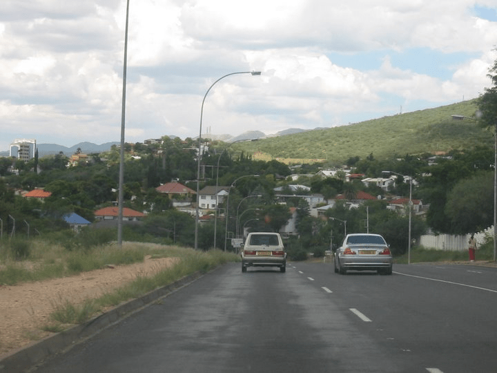
Places and their polling stations in Gabane-Mmankgodi, Botswana
322 Mmankgodi North 1480 Anglican Church 1481 Mmonye Primary School 1482 Letlole Primary School 1483 Tloaneng Primary School 1484 Day Centre At Goo-Nku 1485 UCCSA Church 323 Mmankgodi South 1486 Roman Catholic 1487 United Pentecostal Church 1488 Community Hall 1489 Mmokolodi Primary School 1490 Phiriyabokwete Mobile Clinic 1491 Mmokolodi Kgotla 324 Gabane South West 1492 Gabane Community Hall 1493 Gabane Clinic 1494 Gabane Post Office 1495 Gabane New Primary School 325 Gabane North West 1496 Gabane Main Kgotla 1497 Tshwaragano Brigade Centre 1498 UCCSA Church 1499 Mophakane Mobile Stop 326 Gabane North East 1500 Holly Brown Day Centre 1501 Gasiko Primary School 1502 Tent At Rabodibane Kgotla 1503 Open Space Behind Lesirane Industrial Site (Tent) 327 Gabane South East 1504 Pule Primary School 1505 Holy Apostolic Church 1506 Gabane Private School 1507 Tent at Open Space (Opposite Dolly Sam’s Day Care Centre) 328 Metsimotlhabe 1508 Monageng Cattle Crush 1509 Ikageng JSS 1510 Metsimotlhabe Primary School 1511 UCCSA Church 1512 Community Hall 329 Diagane 1513 Serameng Primary School 1514 Tent at Diagane Kgotla 1515 Thuto Primary School 330 Lesirane 1516 Lesirane Primary School 1517 Tent at Lesirane Cellular Tower 1518 Block 7 Extension (Open Space) Next To Moomo Tree 331 Tsolamosese 1519 Tsolamosese Kgotla 1520 Aedume Park 1521 Tent at Tsolamosese (Open Space)
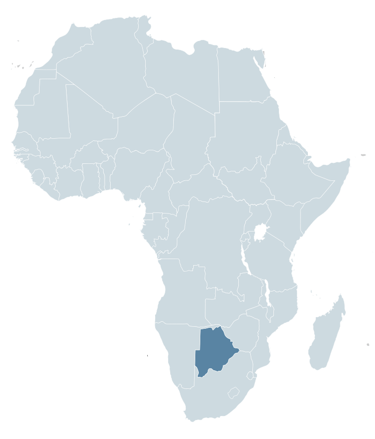
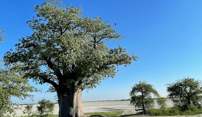
Botswana is a country in Africa. It is topographically flat, with approximately 70 percent of its territory being the Kalahari Desert.
It is bordered by South Africa to the south and southeast, Namibia to the west and north, and Zimbabwe to the northeast.
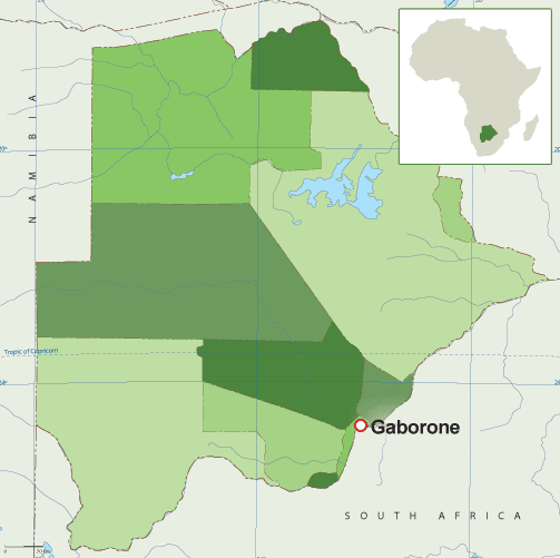
Capital: Gaborone Currency: Botswanan Pula Official language: English Population: 2.588 million (2021) World Bank Dialing code: +267 Gross Domestic Product: 17.61 billion USD (2021) World Bank
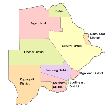
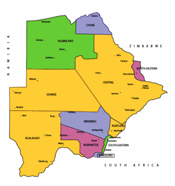
Botswana’s ten districts are:
Southern District
South-East District
Kweneng District
Kgatleng District
Central District
North-East District
Ngamiland District
Kgalagadi District
Chobe District
Ghanzi District
Botswana’s councils created from urban or town councils are: Gaborone City, Francistown, Lobatse Town, Selebi-Phikwe Town, Jwaneng Town, Orapa Town and Sowa Township.
Districts of BotswanaMap of BotswanaMap of BotswanaMaps of Africa showing BotswanaFlag of Botswana Coat of arms of Botswana
The name Botswana refers to ‘Land of the Tswana’. The landlocked, Southern Africa country is officially known as the Republic of Botswana.
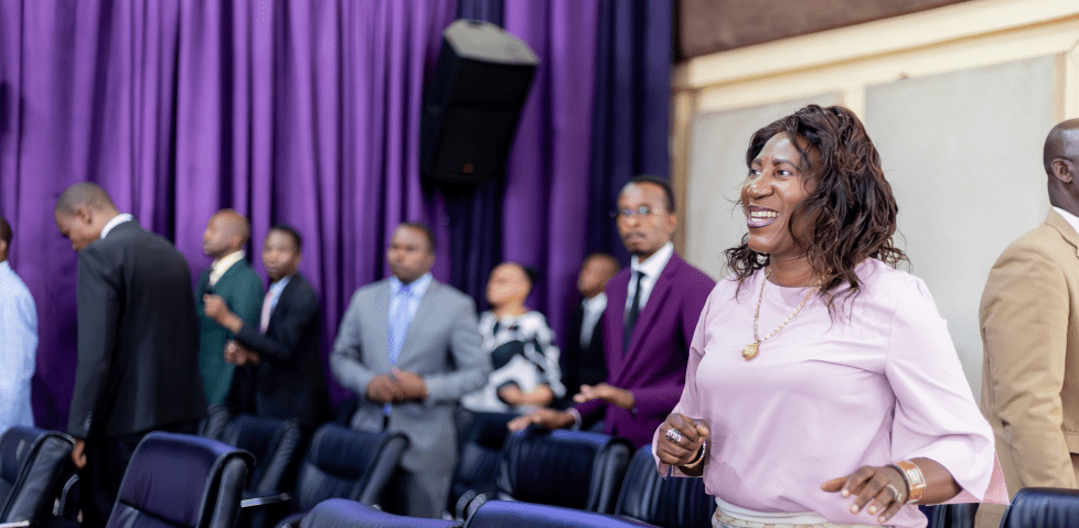
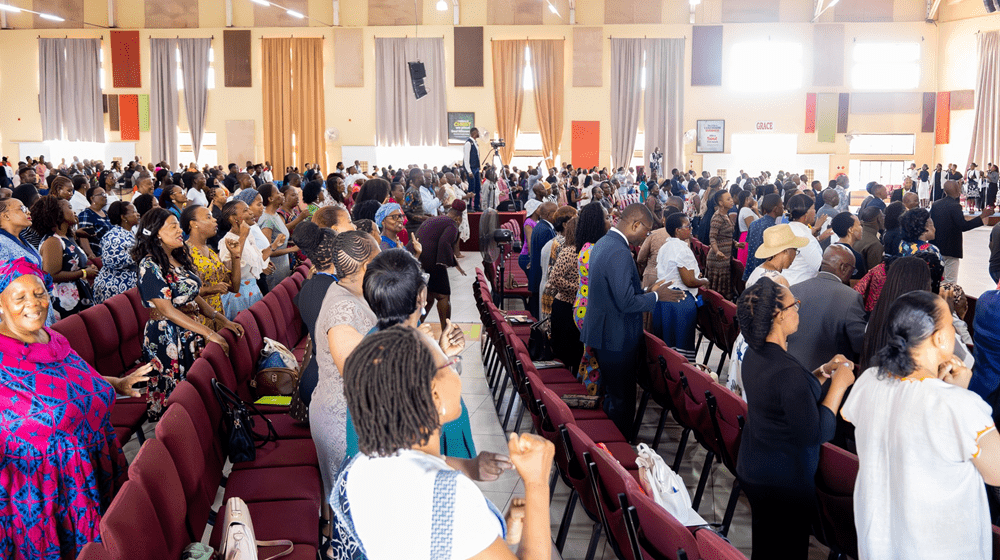
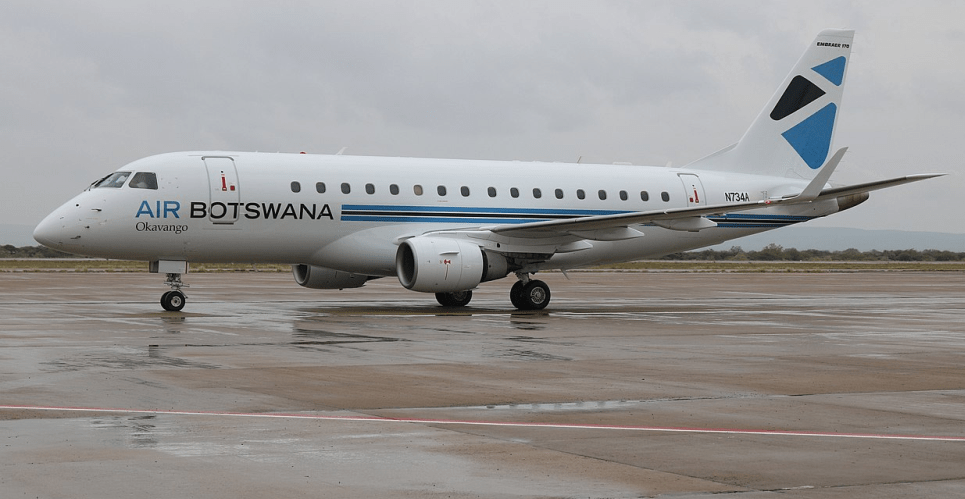
Living Faith Church (Winners’ Chapel) Gaborone, BotswanaWinners’ Chapel, GaboroneGaborone
Botswana is connected to Zambia through the Kazungula Bridge making it the world’s shortest border between two countries.
A country of slightly over 2 million people (2021), Botswana is one of the most sparsely populated countries in the world. It is essentially the nation state of the Tswana ethnic group, who make up 79% of the population.
Makgadikgadi Pans National Park, Botswana
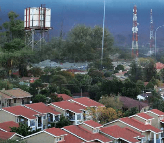
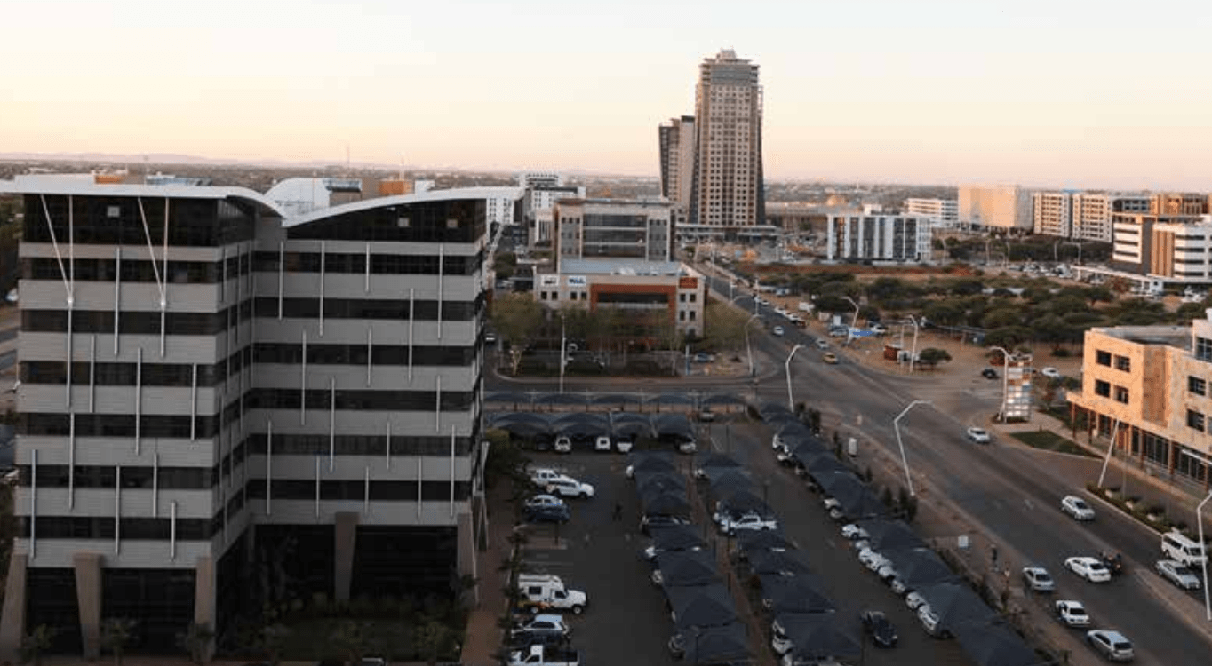
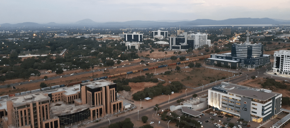
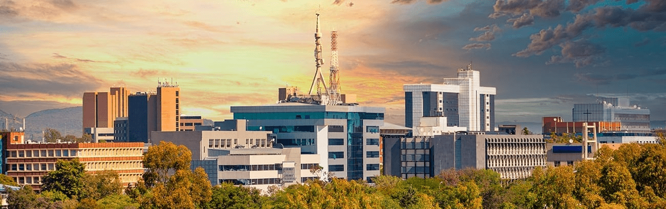
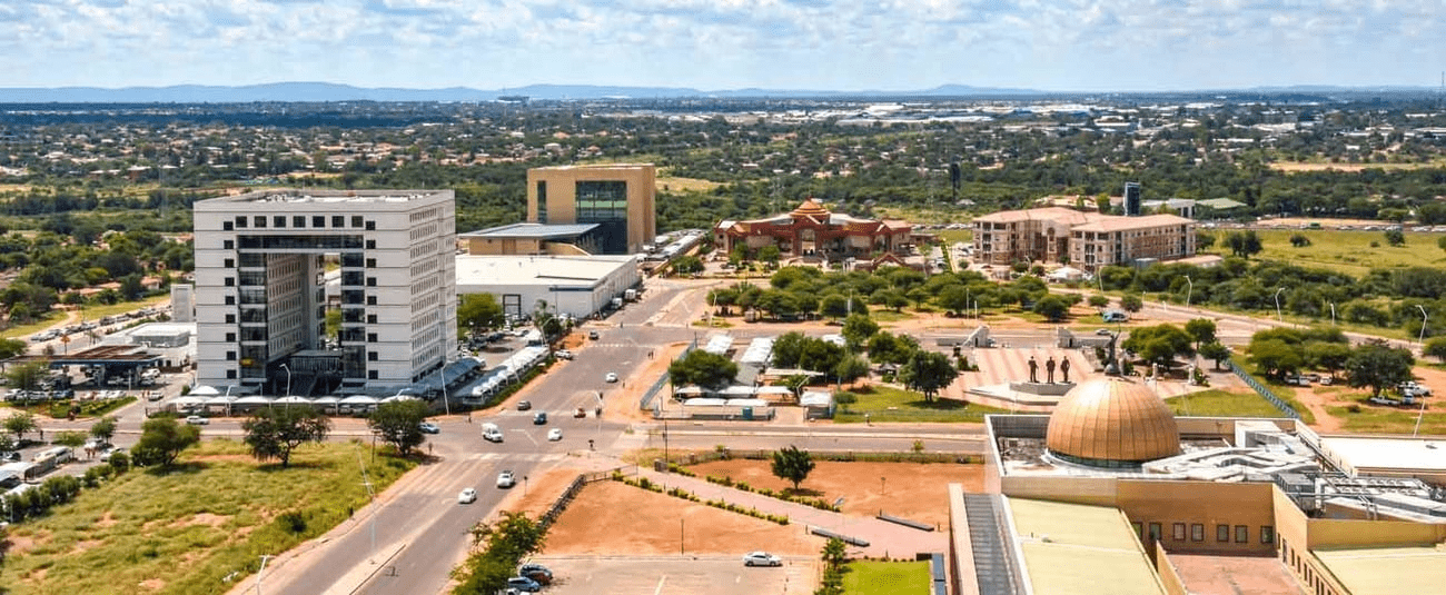
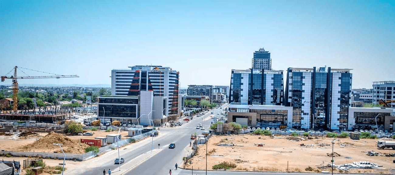
About 11.6 per cent of the population lives in the capital and largest city, Gaborone.
Formerly one of the world’s poorest countries—with a GDP per capita of about US$70 per year in the late 1960s—it has since transformed itself into an upper-middle-income country, with one of the world’s fastest-growing economies.
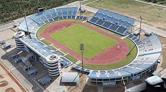
FrancistownFrancistown Stadium
The Tswana ethnic group were descended mainly from Bantu-speaking tribes who migrated southward of Africa to modern Botswana, living in tribal enclaves as farmers and herders.
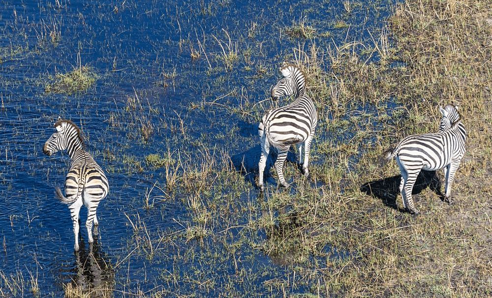
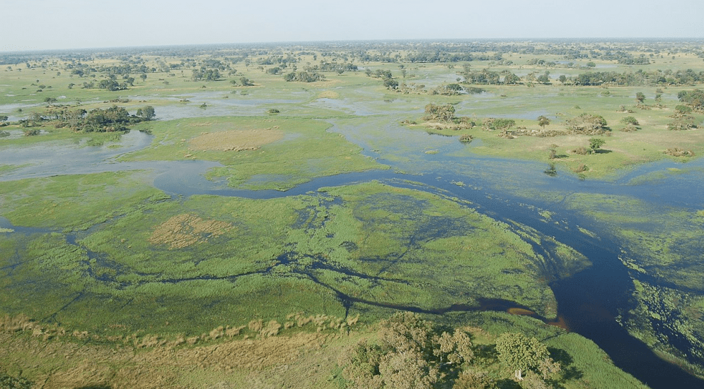
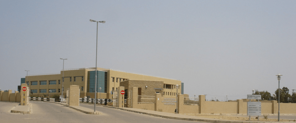
Zebras at the Okavango Basin Okavango Delta in Botswana Scottish Livingstone Hospital, Molepolole, Botswana
In 1885, the British colonised the area and declared a protectorate under the name of Bechuanaland.
As colonisation stopped, Bechuanaland became an independent republic under its current name on 30 September 1966.
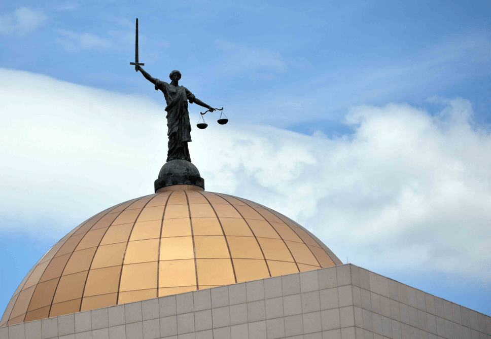
Since then, it has been a representative republic, with a consistent record of uninterrupted democratic elections and the lowest perceived corruption ranking in Africa since at least 1998.
The economy is dominated by mining and tourism. Botswana has a GDP (purchasing power parity) per capita of about $18,113 as of 2021, one of the highest in subsaharan Africa.
Botswana is the world’s biggest diamond producing country.
Its relatively high gross national income per capita gives the country a high standard of living and the third-highest Human Development Index of continental Sub-Saharan Africa (after Gabon and South Africa).
The country has been adversely affected by the HIV/AIDS epidemic. In 2002, Botswana began offering anti-retroviral drugs (ARVs) to help combat the epidemic.
Botswana is a member of the Southern African Customs Union, the Southern African Development Community, the Commonwealth of Nations, and the United Nations.
More
Places, polling stations in Ghanzi South, Botswana Botswana places, polling stations Places and their polling stations in Ghanzi South, Botswana 482 Metsimantsho-Ncojane2230 Metsimantsho Primary School2231 Ranyane Kgotla2232…
Places, polling stations in Ghanzi North, Botswana Botswana places, polling stations Places and their polling stations in Ghanzi North, Botswana 471 Grootlaagte2200 Grootlaagte Primary School2201 Farm 142-Nk…