Kano State has 3 Senatorial Districts, namely:
- Kano Central
- Kano North
- Kano South
Kano Senatorial Districts and their LGAs (Local Government Areas), council wards and polling units are:
Kano Central
LGAs:
Dala/ Gwale/ Dawakin Kudu/ Kura/ Gezawa/Tarauni/ Fagge/ KMC/ Gar. Mallam/ Kumbotso/ Madobi/ Minjibir/ Nassarawa/ Ungogo/ Warawa
Wards: 161
Polling units: 3,713
Kano North
LGAs: Bichi/ Shanono Bagwai/ Danbatta/ Makoda/ Dawakin Tofa/ Gabasawa
Gwarzo/ Kabo/ Tofa/ Rimin Gado/ Tsanyawa/ Kunchi
Wards: 141
Polling units: 1,869
Kano South
LGAs: Ajingi/ Albasu/ Bebeji/ Bunkure/ Doguwa/ Garko/ Gaya/ Karaye Kibiya/Kiru/ Rano/ Rogo Sumaila/ Takai/ Tudun Wada/ Wudil
Wards: 161
Polling units: 2,490
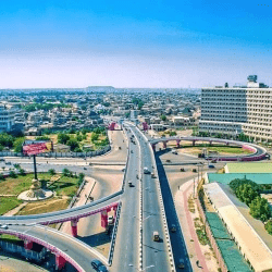
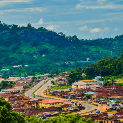
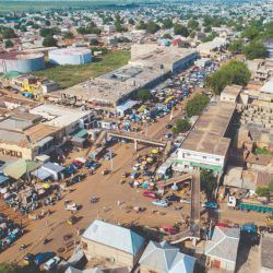
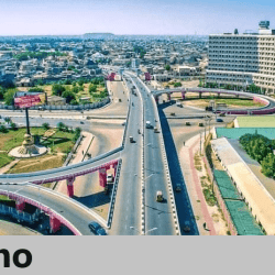
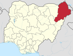
Kano State is located in the northwest geo-political zone of Nigeria. Hausa and Fulani, who are predominantly Muslims, inhabit the state. Yoruba, Igbo and other Nigerians also live in the state but mostly in the capital city also called Kano. 6 local government areas, namely; Fagge, Gwale, Tarauni, Kano Muncipal, Nassarawa and Dala have virtually merged into what is called Kano metropolis. The city of Kano is not only the capital but also the commercial nerve centre of the state.

Kano was among the 12 states created in May 1967 out of the former Northern Region. The state was intact until August 27,1991 when Jigawa State was carved out of it.
It is one of the largest states in Nigeria in terms of population, having a population of about 9, 383, 682 in the 2006 census. Its has 44 local governments, with an area of 20,479.6 square kilometer. The population density is about 458 persons per square kilometre.

The state has over 18, 684 square kilometres of cultivable land and it is the most extensively irrigated state in Nigeria. Kano State is noted for its famous markets and it is an industrial centre in the north. Trading articles in the Kano City include leather goods, local crafts, dyed textile materials as well as camels.
