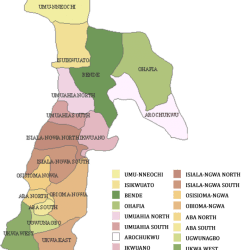
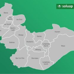
Plateau State has 25 Council Wards and 17 Local Government Areas. The following are Council Wards listed under their Local Government Area:
> List of Council Wards, Local Government Areas (LGAs) and States in Nigeria
Barikin Ladi
Barakin Ladi
Gassa/Sho
Gindin Akwati
Lobiring
Marit/Mazat
Rafan
Tafan
Zabot
Bassa
Buhit
Buji
Gabia
Gurum
Jengre
Kadamo
Kakkek
Kasuru
Kimakpa
Kishika
Mafara
Rimi
Ta’agbe
Tahu
Zabolo
Zobwo
Bokkos
Bokkos
Butura
Daffo
Damwai
Kwatas
Mangor
Manguna
Mbar/Mangar
Mushere West
Mushere Central
Richa
Sha
Tangur
Toff
Jos East
Federe
Fobur ‘B’
Fobur ‘A’
Fursum
Jarawan Kogi
Mai Gemu
Maijuju
Shere East
Shere West
Zandi
Jos North
Abba Na Shehu
Ali Kazaure
Gangare
Garba Daho
Ibrahim Katsina
Jenta Adamu
Jenta Apata
Jos Jarawa
Naraguta ‘A’
Naraguta ‘B’
Sarkin Arab
Tafawa Balewa
Tudun Wada – Kabong
Vanderpuye
Bukuru
Du
Giring
Gyel ‘A’
Gyel ‘B’
Kuru ‘A’
Kuru ‘B’
Shen
Turu
Vwang
Zawan ‘A’
Zawan ‘B’
Kanam
Birbyang
Dengi
Dugub
Gagdib
Garga
Gumsher
Gwamlar
Jarmai
Jom
Kanam
Kantana
Kunkyam
Munbutbo
Namaran
Kanke
Ampang-East
Amper Chika ‘A’
Amper Chika ‘B’
Amper Seri
Dawaki
Garram
Kabwir Pada
Kabwir/Gyangyang
Langshi
Nemel
Langtang North
Funyalang
Jat
Keller
Kuffen
Kwallak
Kwande
Lipchok
Mban/Zamko
Nyer
Pajat
Pil Gani
Pishe/Yashi
Reak
Waroh
Dadin Kowa
Fajul
Gamakai
Lashel
Mabudi
Magama
Sabon Gida
Talgwang
Timbol
Turaki
Mangu
Ampang West
Chanso
Gindiri I
Gindiri II
Jannaret
Jipal/Chakfem
Kadunu
Kerang
Kombun
Langai
Mangu I
Mangu II
Mangu Halle
Mangun
Pan Yam
Pushit
Mikang
Baltep
Garkawa Central
Garkawa North
Garkawa North East
Koenoem ‘A’
Koenoem ‘B’
Lalin
Piapung ‘A’
Piapung ‘B’
Tunkus
Pankshin
Chip
Dok-Pai
Fier
Jiblik
Kadung
Kangshu
Lankang
Pankshin Chigwong
Pankshin South (Belning)
Pankshin Central
Tal
Wokkos
Qua’an Pan
Bwall
Doemak-Goechim
Doemak-Koplong
Dokan Kasuwa
Kurgwi
Kwa
Kwalla Moeda
Kwalla Yitla’ar
Kwande
Kwang
Namu
Riyom
Attakar
Bum
Danto
Jol/Kwi
Ra-Hoss
Rim
Riyom
Sharubutu
Sopp
Ta-Hoss
Shendam
Derteng
Kalong
Kurungbau (A)
Kurungbau (B)
Moekat
Pangshom
Poeship
Shendam Central (A)
Shendam Central (B)
Shimankar
Yelwa
Wase
Bashar
Danbiram
Gudus
Kadarko
Kumbong
Kumbur
Kuyambana
Mavo
Nyalum/Kampani
Saluwe
Wase Tofa
Yola Wakat
Plateau Local Government Areas and their headquarters
| LGA | Headquarters |
|---|---|
| Bassa | Bassa |
| Barkin Ladi | Barkin Ladi |
| Bokkos | Bokkos |
| Jos East | Angware |
| Jos North | Jos |
| Jos South | Bukuru |
| Kanke | Kwali |
| Kanam | Dengi |
| Langtang North | Mabudi |
| Langtang South | Langtang |
| Mangu | Mangu |
| Mikang | Tunkus |
| Pankshin | Pankshin |
| Qua’an Pan | Baap |
| Riyom | Riyom |
| Shendam | Shendam |
| Wase | Wase |
Plateau State
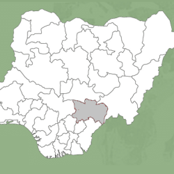
Plateau is the 12 largest state of Nigeria, and is located in the central of the country.
Capital
The capital of the state is Jos.
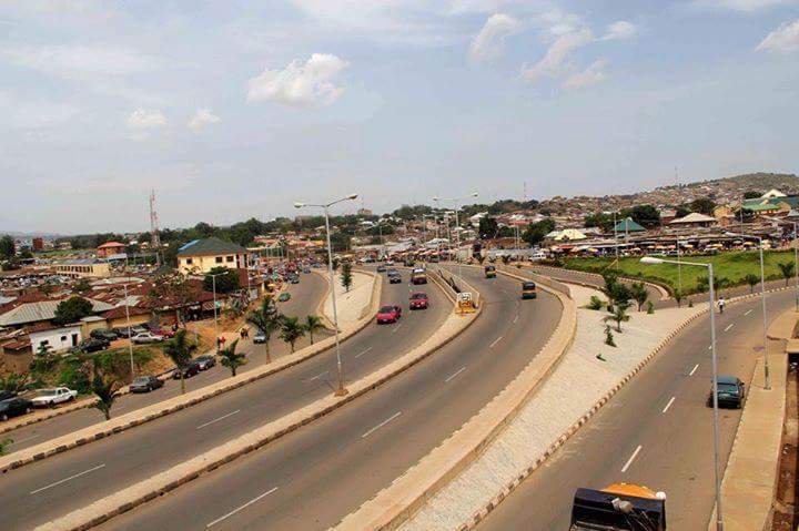
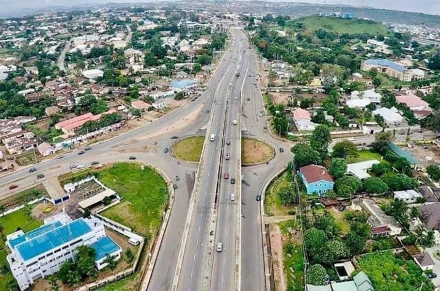
How Plateau State gets its name
Plateau State gets its name from the Jos Plateau.
Plateau State’s nickname
Plateau State is nicknamed as “The Home of Peace and Tourism”.
It’s named after the picturesque Jos Plateau, a mountainous area in the north of the state with captivating rock formations.
Boundaries
Plateau State is located in Nigeria’s middle belt. With an area of 26,899 square kilometres.
Adjacent States
Bauchi: to the North-East
Kaduna: to the North-West
Nasarawa: to the South-West
Taraba: to the South-East
Land
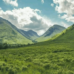
Its boundaries surround Jos Plateau. The plateau is in the state’s central and northern part.
Bare rocks are scattered across the grasslands, which cover the plateau.
The altitude ranges from around 1,200 meters (about 4000 feet) to a peak of 1,829 metres above sea level in the Shere Hills range near Jos. Years of tin mining have also left the area strewn with deep gorges and lakes.
