The geography of Kebbi State, Nigeria
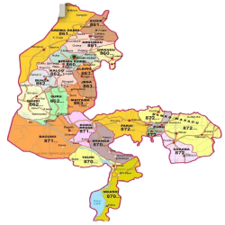
Kebbi State was created out of the old Sokoto State in 1991 and it is located within latitudes 10.12°E and 13.29°N and longitudes 3.56°N and 6.06°E, covering a land area of 36,653km².
It is bordered to the west by Benin and Niger Republics, to the east by Sokoto and Zamfara States, to the south by Zamfara and to the north by Sokoto State.
The State has two geological formations: Precambrian basement complex in the South and South-East which are volcanic and metamorphic in nature; and young sedimentary rocks in the North.
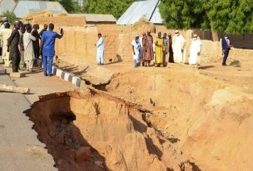
The altitude varies between 148-495m above sea level. The State experiences the Tropical Continental Climate where mean annual temperature is 26°C, with annual temperature range of 21°C to 42°C and annual total rainfall is about 750mm.
Rains begins in May/June and lasts till October/November, after which the cold period sets in when the lowest temperature for the year is experienced.
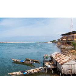
The dry season lasts between November and May of the following year, and the peak of temperature is experienced in April/May. The State is largely drained by the Rivers Niger and Rima together with their tributaries.
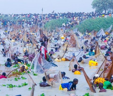
It is largely spread within the Sudan Savannah vegetation zone where locust bean tree (Parkia biglobosa), Shea Butter tree (Vitellaria paradoxa), bushwillows (combretum) grow.
The natural vegetation which is woodland has grossly been altered by myriads of human activities resulting from high population growth.
Dominant soils include acrisols, leptosols, arenosols and fluvisois. These are well drained and good for agriculture.
Reference
https://kebbistate.gov.ng/sites/default/files/KEBBI%20STATE%20INDUSTRIAL%20POLICY_0.pdf
