Bauchi State of Nigeria was created in February 1976 from the former North Eastern State by the then regime of General Murtala Mohammed.
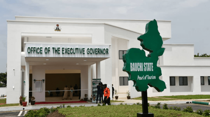
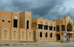
The capital is Bauchi.
It originally included the area now in Gombe State, which became a distinct state in 1996.
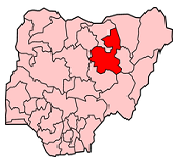
Located in the North-Eastern part of the Nigeria, Bauchi State covers 45,837 square kilometers. Bauchi State is bounded by Kano and Jigawa to the north, Yobe and Gombe to the east and Kaduna State to the west and Plateau and Taraba State to the south.
Bauchi was derived from Bauchi town. Bauchi town is named after Baushe, who was a brave hunter during his time. Baushe was the first settler in Bauchi before the arrival of Mallam Yakubu the first Bauchi ruler. Bauchi, according to early Hausa translators means an animal hardly escaped the trap and arrow of a hunter.
Bauchi State has a total of 55 tribal groups in which Hausa, Fulani, Gerawa, Sayawa, Jarawa, Bolewa, Kare-Kare, Kanuri, Warjawa, Zulawa, and Badawa are the main tribes.
The entire western and northern parts of the state are generally mountainous and rocky. This is as a result of the closeness of the state to the Jos Plateau and Cameroun mountains.
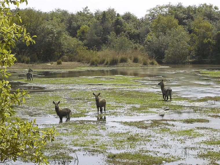
Bauchi state is one of the states in the Northern part of Nigeria that span two distinctive vegetation zones, namely, the Sudan Savannah and the Sahel Savannah. Two main rivers transverse the state, the Gongola and Hadejia rivers. The climatic condition of Bauchi State is very hot in the months of April and May, while December and January are the coldest months.
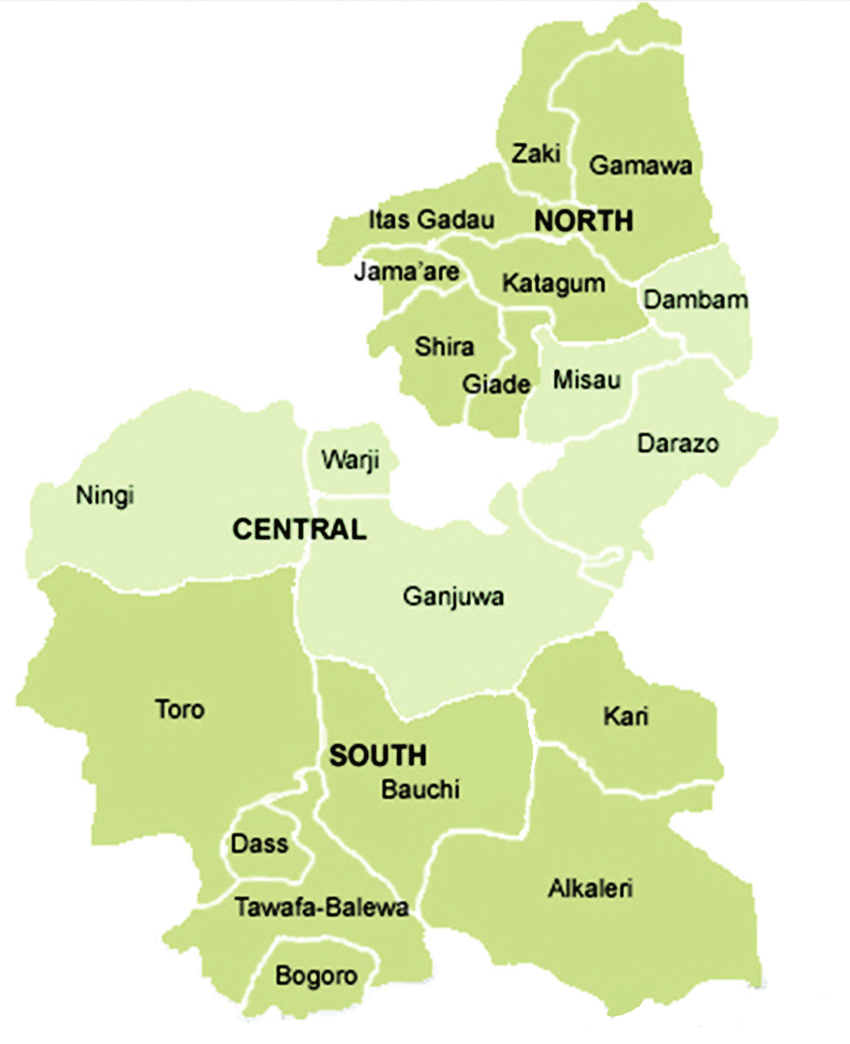
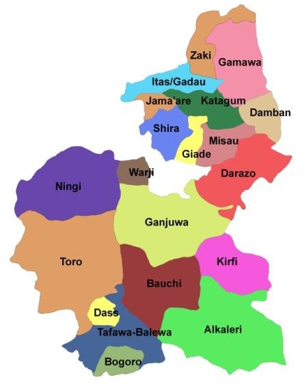
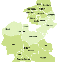
Bauchi State is made up of 20 local government areas:
Alkaleri
Bauchi
Bogoro
Damban
Darazo
Dass
Ganjuwa
Giade
Itas/Gadau
Jama’are
Katagum
Kirfi
Misau
Ningi
Shira
Tafawa-Balewa
Toro
Warji
Zaki
