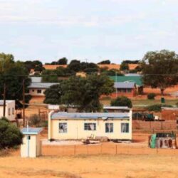
Botswana’s cities and the subdivision of the cities into towns and villages including their populations are:
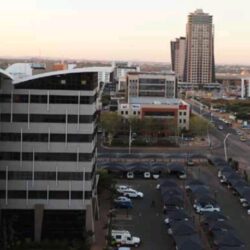
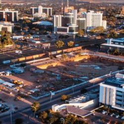
Gaborone
- Mogoditshane
- Tlokweng
- Ramotswa
- Mmopane
- Gabane
- Kopong
- Metsimotlhabe
- Oodi
- Bokaa
- Modipane
- Kumakwane
- Ramotswa Station
- Rasesa
- Morwa
Francistown
- Tati Siding
- Chadibe
- Borolong
- Mathangwane
- Shashe-Mooke
Lobatse
Molapowabojang
Selebi Phikwe
- Mmadinare
- Sefhope
Orapa
- Letlhakane
Jwaneng
- Sese
Botswana: Profile
- Location:
Southern Africa; landlocked. Borders South Africa, Namibia, Zambia, and Zimbabwe. Roughly two-thirds of the country lies within the Tropics. - Area:
581,730 km² – about the size of France or Kenya. - Capital City:
Gaborone - Topography:
Mostly flat with small hills in the east. 84% covered by Kalahari sands.
Limited surface water, except in northern regions. - Urban Centres:
Francistown, Lobatse, Selebi-Phikwe - Tourism Hubs:
Maun, Kasane - Independence Day:
30 September 1966 - Government System:
Multi-party democracy - Head of State:
His Excellency Dr. Mokgweetsi Eric Keabetswe Masisi - Population:
Approximately 1.85 million (as of 2006), with an annual growth rate of 2.4% - Languages:
- National Language: Setswana
- Official Language: English
- Currency:
Botswana Pula (BWP) - Main Exports:
- Diamonds
- Copper-nickel
- Beef
- Soda ash
- Tourism
- Major Crops:
- Maize
- Sorghum
- Millet

