Map of Toro LGA Bauchi State is Toro local government area has 3 districts:Toro,Jama’a andLame district. The local government is the largest local government in Nigeria.…
Languages of Bauchi State per Local Government Area The languages spoken in Bauchi State per Local Government Area (LGA) are as follows: LGALanguagesAlkaleriDass; Bole; Duguri; Giiwo; Guruntum-Mbaaru; Labir;…
Ibibio Villages and Localities 1. Ibibio G.I. Jones (Gwilym Iwan Jones) occupies a complex and enduring position in the historiography and anthropology of southeastern…
List of Local Government Areas in Bauchi State and their headquarters Local Government Areas in Bauchi State and their headquarters, administrative capitals LGAHeadquartersAlkaleriAlkaleriBauchiBauchiBogoroBogoroDambanDambanDassDassDarazoDarazoGiadeGiadeGamawaGamawaGanjuwaKafin-MadakiItas/GadauItasJama’areJama’areKatagumAzareKirfiKirfiMisauMisauNingiNingiShiraYanaTafawa-BalewaTafawa-BalewaToroToroWarjiWarjiZakiKatagum Map of Bauchi State showing Local Government Areas…
Map of Bauchi State showing Local Government Areas Local Government Areas of Bauchi State, Nigeria AlkaleriBauchiBogoroDambanDarazoDassGanjuwaGiadeItas/GadauJama’areKatagumKirfiMisauNingiShiraTafawa-BalewaToroWarjiZaki
Bauchi State land area Bauchi State occupies a total land area of 49,119 km² representing about 5.3% of Nigeria’s total land mass. It is…
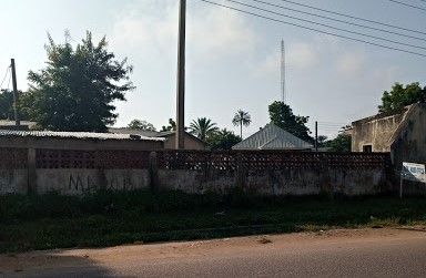
Bauchi State, Nigeria Bauchi is a ttate i Nigeria. The state has gone through a much transformation since it was created. During the…
Bauchi State, Nigeria Bauchi State of Nigeria was created in February 1976 from the former North Eastern State by the then regime of…
Bauchi State, Nigeria What is today known as Bauchi State was created in 1976 from the North Eastern State of Nigeria. According to…


, Abia State, Nigeria")