The Oyo Kingdom, as with other states of the Yoruba people in the southern coastal area of West Africa (modern Nigeria), claimed descent from an exiled king of Ife (11-15th century CE).
Although archaeology has yet to discover concrete connections between the various successive states of what is today Nigeria, oral traditions, such as those in the Kingdom of Benin (13-19th century CE), located just to the east of Oyo, tell of a king of Ife who not only sent a prince to rule other areas of the region but also sent a master craftsman to spread his sculptural skills.
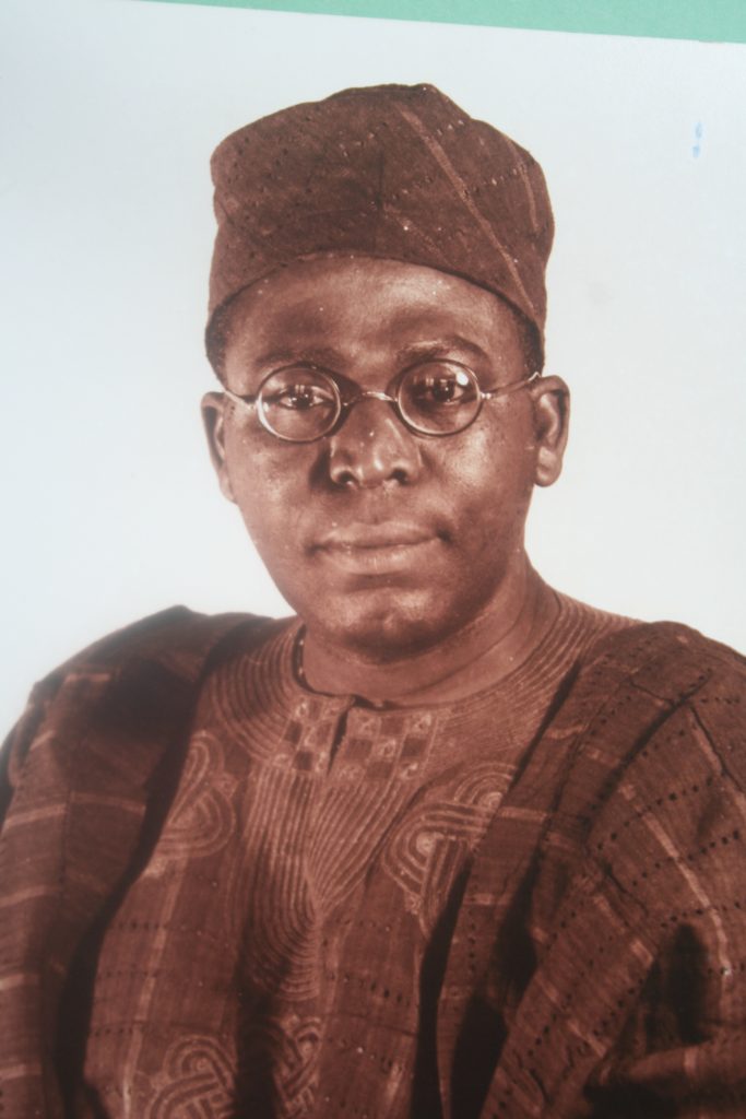
In oral traditions, the founder of the Oyo state was one Oranmiyan (aka Oranyan), son of Oduduwa, the founder of Ife. An impressive carved granite column from Ife stands 5.5 metres (18 ft.) tall and is known as the Opa Oranmiyan or ‘staff of Oranmiyan’.
Oyo art in general displays a striking resemblance to that of Ife and Benin. Through this process of cultural transfer, the Oyo inherited a long cultural tradition that stretched right back the Nok Culture of ancient Nigeria (5th century BCE to 2nd century CE).
Oyo State
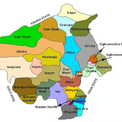
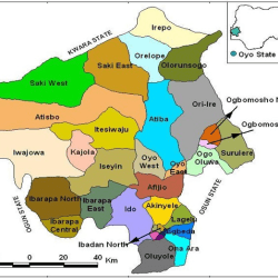
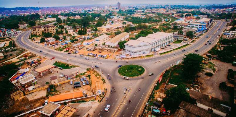
Oyo is a state in Nigeria. It covers a total of 28,454 square kilometres of land mass and it is bounded in the south by Ogun State, in the north by Kwara State, in the west it is partly bounded by Ogun State and partly by the Republic of Benin, while in the East by Osun State.
YEAR FOUNDED: 1976

Located in the South-West geopolitical zone of Nigeria, Oyo State was one of the three States carved out of the former Western State of Nigeria in 1976.
33 Local Governments Areas
Oyo State consists of 33 Local Governments and 29 Local Council Development Areas. Local Government Areas are: Afijio, Akinyele, Atiba, Atisbo, Egbeda, Ibadan North, Ibadan North-East, Ibadan North-West, Ibadan South-East, Ibadan South West, Ibarapa Central, Ibarapa East, Ibarapa North, Ido, Irepo, Iseyin, Itesiwaju, Iwajowa, Kajola, Lagelu, Ogbomoso North, Ogbomoso South, Ogo-Oluwa, Olorunsogo,Oluyole, Ona-Ara, Oorelope, Oriire, Oyo East, Oyo West, Saki East, Saki West and Surulere.
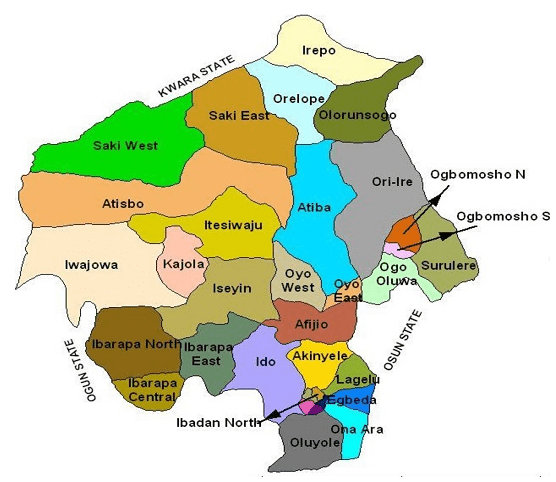
29 Local Council Development Areas
The Local Council Development Areas (LCDAs) are: Aare Latosa, Afijio West, Ajorosun, Akinyele East, Akinyele South, Akinyele West, Akorede, Araromi, Atisbo South, Ibadan East, Ibadan South East, Ibadan West, Ibarapa North-East, Ibarapa North-West, Ifeloju, Iganna, Inukan, Irepodun, Iseyin South, Iwa, Lagelu North, Ogbomoso Central, Ogbomoso South-West, Ogo-oluwa West, Oke’badan, Omi Apata, Surulere North, Surulere South, Wewe.
Topography
The topography of the State is of gentle rolling low land in the south, rising to a plateau of about 40metres. The State is well drained with rivers flowing from the upland in the north-south direction.
The landscape consists of old hard rocks and dome shaped hills, which rise gently from about 500 meters in the southern part and reaching a height of about 1,219 metres above sea level in the northern part.
Climate
Oyo State has an equatorial climate with dry and wet seasons and relatively high humidity. The dry season lasts from November to March while the wet season starts from April and ends in October. Average daily temperature ranges between 25 °C (77.0 °F) and 35 °C (95.0 °F), almost throughout the year. The vegetation pattern of Oyo State is that of rain forest in the south and guinea savannah in the north. Thick forest in the south gives way to grassland interspersed with trees in the north.
Agriculture
The climate in the State favours the cultivation of crops like Maize, Yam, Cassava, Millet, Rice, Plantain, Cocoa tree, Palm tree and Cashew. There are a number of Government Farm Settlements in Ipapo, Ilora, Sepeteri, Eruwa, Ogbomosho, Iresaadu, Ijaiye, Akufo and Lalupon.
Reference
https://old.oyostate.gov.ng/about-oyo-state/
