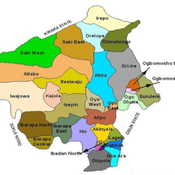
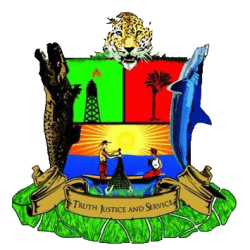
Oyo covers a total of 28,454 square kilometres of land mass and it is bounded in the south by Ogun State, in the north by Kwara State, in the west it is partly bounded by Ogun State and partly by the Republic of Benin, while in the East by Osun State.
Located in the South-West geopolitical zone of Nigeria, Oyo State was one of the three States carved out of the former Western State of Nigeria in 1976.
More
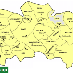
Logo. Map of Benue state showing Logo local government area Benue State’s 23 local government areas:AdoAgatuApaBurukuGbokoGumaGwer EastGwer WestKatsina-AlaKonshishaKwandeLogoMakurdiObiOgbadiboOhiminiOkpokwuOjuOtukpoTarkaUkumUshongoVandeikya
Logo Events. Some major events in Logo and other areas Zaki Biam Ugba And Buruku Road ConstucedPlace: Zaki-Biam/Ugba BurukuYear: 2005 Ugba Anyiin Road Constructed Ugba/AnyinPlace: Ugba/AnyiinYear: 2008 Interim Chairman of…
Benue State Logo A Symbol Reflecting Cultural Heritage and Aspirations The Benue State official logo embodies the rich cultural heritage of Benue State…
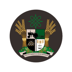
ZAMFARA STATE LOGO The symbol helps project Zamfara State Government agenda for growth and investment in modern farming and mining. Motto “ Land…
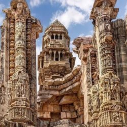
Chittorgarh Fort, a symbol of Rajput resilience Chittorgarh Fort is one of India’s most iconic and historically significant forts, representing Rajput valor, sacrifice, and architectural brilliance. Chittorgarh…
Central Africa CFA franc symbol Symbol of Central Africa CFA franc CFA franc refers to “Communauté Financière Africaine” which translates to the African Financial Community.…
West Africa CFA franc symbol Symbol of West Africa CFA franc CFA franc refers to “Communauté Financière Africaine” which translates to the African Financial Community.…