The places designated as Satellite Towns of Abuja are:
Bwari
Kubwa
Karshi
Kuje
Kusaki Yanga
Dobi
Anagada
Gosa
Abuja North West
Abuja South West
However, Gosa, Abuja North West and Abuja South West were dropped due to the fact that they were essentially within the Capital City area. There are therefore Seven Satellite Towns (i-vii above) designated for development.
Abuja
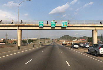
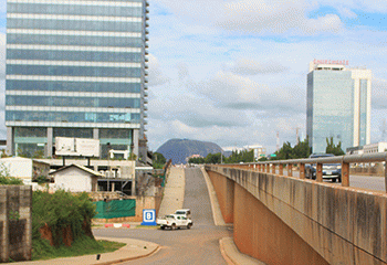
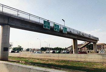
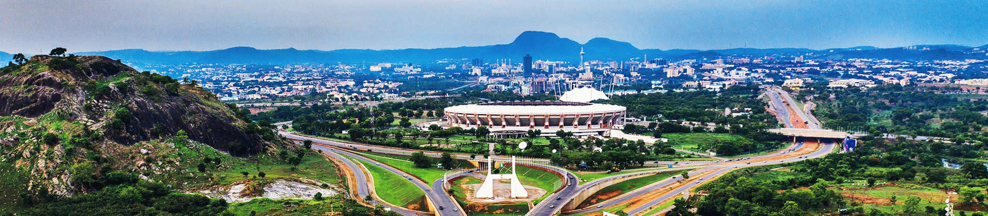
Abuja, Nigeria’s capital, is a purpose built city. It was built to serve as the country’s capital.
Abuja was initially a sparsely populated rural area
At the inception of the city, the village was a sparsely populated area; which was one of the reasons for the choice of site.
Abuja was chosen to replace Lagos as Nigeria’s capital due to some shortcomings of Lagos
Nigeria’s capital, Abuja, was also ideally chosen with a view to avoiding the hot and humid lagoon in the south.
The name of a nearby village, known as Abuja, was taken and given to the capital city
Abuja was named after a nearby village in neighbouring Niger State. The village was later renamed as Suleija. Suleija later grew to become a town.
FCDA partnered international planning consultants for a 286 page Abuja Master Plan
In June 1977, the FCDA commissioned a team of international planning consultants, the US-based IPA Group, to prepare a draft Master Plan for the new Federal Capital of Nigeria. And a little more than 18 months later, the 286 page Master Plan was published. The Master plan envisaged Abuja being built in the Northern quadrant of the FCT, which functioned as a cordon sanitarium and as an agricultural hinterland.
The acceptance of the committee’s recommendation led to the enactment of Decree No. 6, of 1976 leading to the establishment of a new Federal Capital.
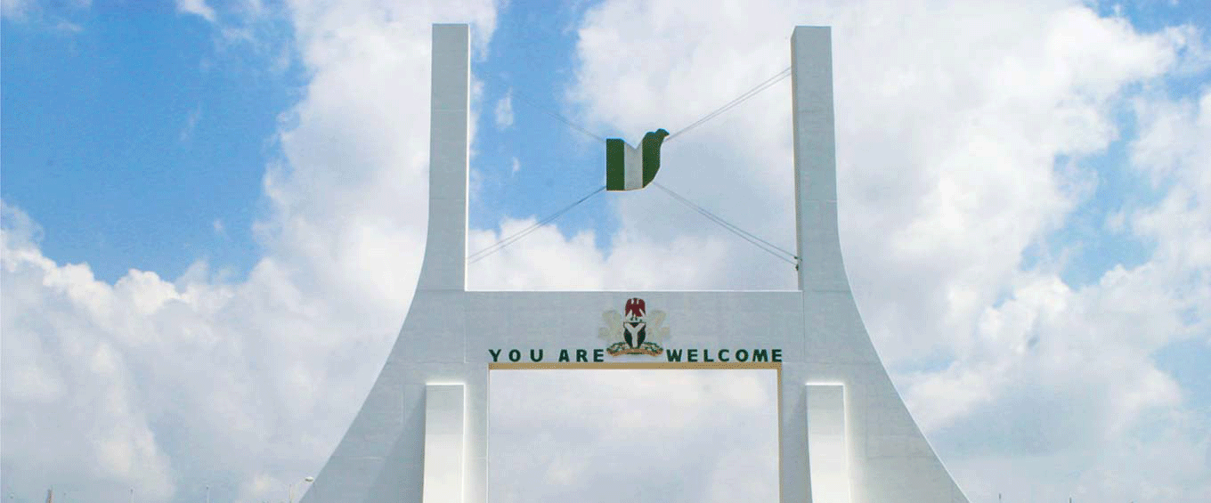
The capital, Abuja, which was to be a symbol of Nigeria’s aspirations for unity and greatness was excised from Niger, Kwara (know Kogi) and Plateau (now Nasarawa) states.
It has a total land area of 8,000 square kilometers, which is more than twice the land area of Lagos state.
At the conception of the Federal Capital and subsequently the Master Plan was based on the promise that all the approximately 500, 000 inhabitants within the entire 8, 000 square kilometers would be resettled outside the territory.
The University of Ibadan Consultancy Services was commissioned to undertake an ecological survey to ascertain the exact number of people to be settled outside the territory and also to determine the amount to be paid to the affected inhabitants as compensation by the Federal Government.
This policy of total evacuation however, changed in 1978 based on the argument that the funds required as compensation entitlement at over N1.8 billion was unaffordable. Therefore as at today, resettlement in the FCT is in two categories namely:
Those that have remained but who will be resettled within the Federal Capital Territory (FCT) but outside the Federal Capital City (FCC) whenever their places of abode are affected by development projects.
Abuja Secondary Schools Names and Addresses List of Secondary Schools and their addresses in Nigeria’s capital, Abuja. Abuja, the Federal Capital Territory(FCT) has over 863 Secondary…
List of 62 Council Wards in Abuja Abuja is Nigeria’s Federal Capital Territory (FCT). Abuja city (metropolis) and the larger area (including nearby suburbs and distant rural…
62 Council Wards of Abuja Abuja has 6 Local Council Areas (Local Government Areas) and 62 council wards: List of council wards in Abuja, the…
Abuja Idu Train Station The Abuja Stadium Train Station, officially known as the Abuja Idu Station, is a significant railway station located near the…
GIFMIS Code for JUDICIARY SERVICE COMMITTEE, FCT ABUJA The GIFMIS Code for JUDICIARY SERVICE COMMITTEE, FCT ABUJA is: JUDICIARY SERVICE COMMITTEE, FCT ABUJASNREVENUE NUMBERREVENUE ITEM DESCRIPTION11000274783 Reference: gifmis.gov.ng/grr-number/…
GIFMIS Code for FEDERAL JUDICIARY SERVICE COMMISSION, ABUJA The GIFMIS Code for FEDERAL JUDICIARY SERVICE COMMISSION, ABUJA is: FEDERAL JUDICIARY SERVICE COMMISSION, ABUJASNREVENUE NUMBERREVENUE ITEM DESCRIPTION11000274796 Reference: gifmis.gov.ng/grr-number/…
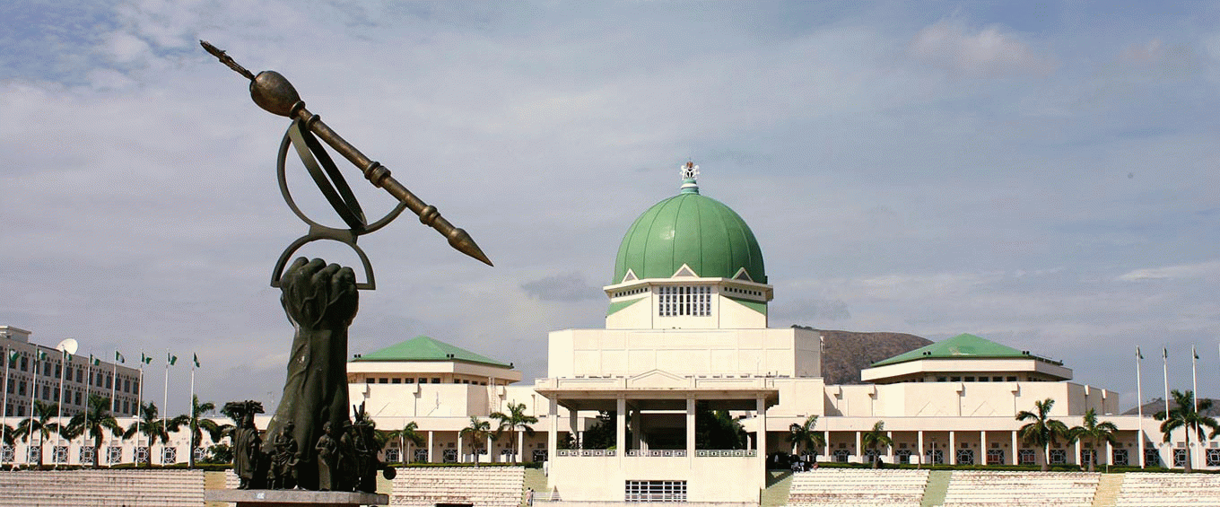


 Structure: A Landmark in Abuja’s \"Three Arms Zone\"")


