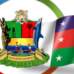
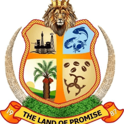
In line with the vision of the founding fathers of the state and given the Government’s stand on Ijaw mobilization, Ijaw integration and the need to promote Ijaw fundamental interest, which clearly is not subordinate to any other interests, the Government of Bayelsa State made a state-owned emblem to mark and strengthen our sense of identity as a state.
The Bill establishing the creation of the State Symbols was on 12 August, 2012
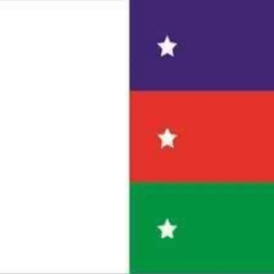
Flag
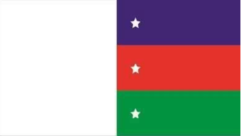
The White Colour
Represents purity, honour and truthfulness of the people and their quest for justice.
The Blue Colour
Represents the abundance of waters and their inherent resources.
The Red Colour
Represents the memory and sacrifices of our heroes.
The Green Colour
Represents rich vegetation.
The Three Stars
Represent the hopes and aspirations of our people.
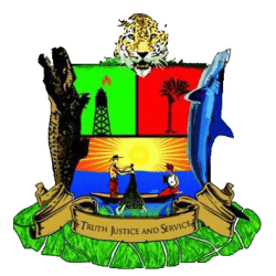
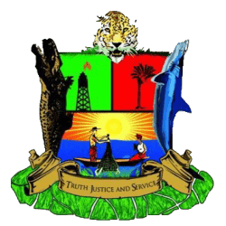
Coat of Arms
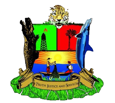
Motto:
TRUTH, SERVICE & JUSTICE
- .1Truth connotes what the Ijaw man stands for.
- .2Justice connotes the need to ensure justice for everyone with fear, affection or favour.
- .3Service connotes the willingness of Ijaw people to always render service to mankind.
The Shark
Denotes the aquatic mastery and strength of the people.
The Crocodile
Shows the rugged and the amphibious nature of the people
The Leopard
Denotes strength, agility, resilience, and intellect of the people
The Oil Rig
Signifies the first oil well discovered in Nigeria located in the State which also has abundance of oil and gas resources.
Fishing Activities
The traditional occupation of the Ijaw people
The Sun
The light on the people.
The Canoe
Denotes the craftsmanship of the Ijaw people
Green Vegetation
Denotes the greenery of Bayelsa State with mangroves crisscrossed by rivers, rivulets, streams, creeks, lakes and lagoons.
The Palm Tree
Signifies the rich agricultural endowment of the State.
Bayelsa
Bayelsa is a state in Nigeria. It is located in the southern part of the country.
Created on October 1st 1996 from the old Rivers State, it’s bounded to the east by Rivers State and west by Delta State, the beautiful waters of the Atlantic Ocean dominates its southern borders.
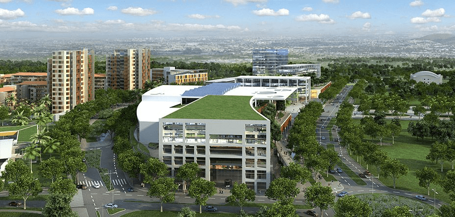

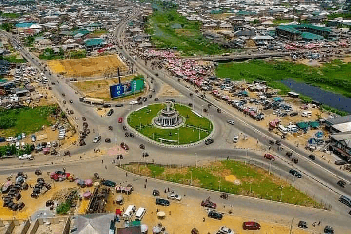
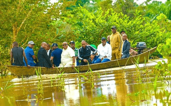
It has the longest coastline in the West African sub-region making the State a tourists destination.

Bayelsa State consists of 8 Local Government Areas:
- Brass
- Ekeremor
- Kolokuma/Opokuma
- Nembe
- Ogbia
- Sagbama
- Southern Ijaw
- Yenagoa

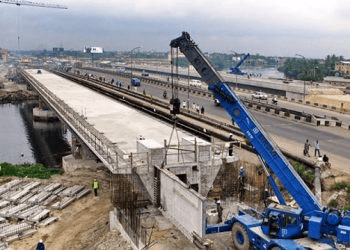
The name Bayelsa is derived from a combination of acronyms of three Local Government Areas within its confines: Brass LGA (BALGA), Yenagoa LGA (YELGA), and Sagbama LGA (SALGA). The state is made up of 8 Local Government Areas; they are Ekeremor, Kolokuma Opokuma, Yenagoa, Nembe, Ogbia, Sagbama, Brass and Southern Ijaw.
The beautiful city of Yenagoa serves as the Capital City which plays host to most of the Government and private institutions.

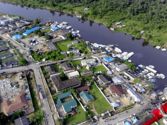
The four main languages spoken are Izon, Nembe, Ogbia and Epie-Atissa. Like the rest of Nigeria, English is the official language.
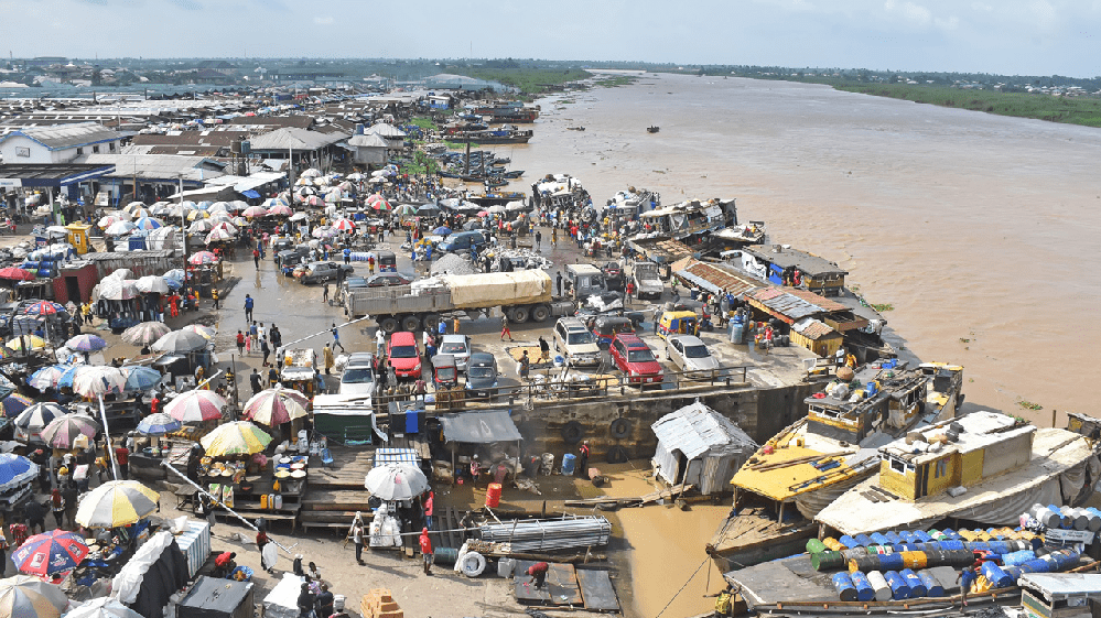
Bayelsa State has one of the largest crude oil and natural gas deposits in Nigeria. Bayelsa is often described as the cradle of Ijaw culture and tradition because of its rich culture and tradition that dates back to so many centuries.
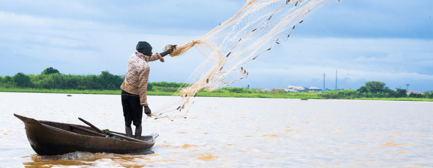
Fishing is the major occupation of Bayelsa people because of the abundant creeks, lagoons, rivers and swamps within which commercial fishing is practiced. Over 200 species of fish can be found in the waters within and around the state. Fish oil extraction is a common economic activity throughout all the LGAs of the state, and the coastal areas abound in sea foods such as fish, oysters, crabs, lobsters, periwinkle et cetera. There are also sea animals such as Hippopotamus, manatee, crocodile etc. in the seas, rivers and streams that crisscross the state.
Food crops grown in the state include yam, cocoyam, banana, pineapple and plantain. Cash crops grown in the state include coconut, pears, oil palm and raffia palm. The potentialities for the development of these crops to feed local industries are very good. Technologies are being developed to reclaim land from mangrove swamps in order to cultivate food, especially lowland rice and the cash crops identified above on a large, commercial scale.
Location: Bayelsa is geographically located approximately within Latitude 4°15 North at the Southern part & 5°23 North at the Northern limit and Longitude 5°22 East at the Western part & 6°45 East at the actual Eastern limit. It is bordered by Delta State to the West, Rivers State to the East, the Atlantic Ocean to the South and both Rivers and Delta States to the North.
Geology: Domiciled within the lower delta plain believed to have been formed during the Holocene of the quaternary period by the accumulation of sedimentary deposits. The major geological characteristic of the state is sedimentary alluvium.
Climate and Vegetation: Rainfall in the State varies in quantity from one area to another. The state experiences equatorial type of climate in the southern the most part and tropical rain towards the northern parts. The average monthly temperature is in the range of 25°C to 31°C. The hottest months are December to April.
Minerals: With the largest crude oil reserve in the Niger Delta of Nigeria, the state produces over 40% of the country’s on-shore crude oil and vast quantities of associated gas. It also has large deposits of clay.
