Cross River State Creation, Location, Culture, Ethnic Groups, Languages, Economy
Creation
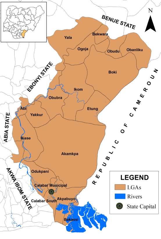
Cross River State, situated in the South-South geopolitical zone, was created on May 27, 1967, as a result of the division of the Eastern Region. Named after the Cross River, its capital is Calabar.
The state shares borders with Benue to the North, Ebonyi and Abia to the West, and Akwa Ibom to the Southwest, while its eastern border forms part of the national boundary with Cameroon.
Formerly known as the South-Eastern State, it was later renamed Cross River in 1976, and Akwa Ibom became a separate state in 1987.
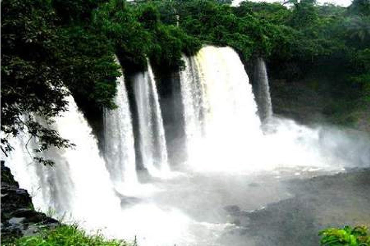
GEOGRAPHICAL REGION
Cross River state was named after the Cross River, which flows through the state. Located in the coastal region of Nigeria, the State occupies 20,156 square kilometers. It shares boundaries with Benue state to the North, Ebonyi and Abia states to the west, to the east by Sud-Ouest Province in Cameroon, and to the south by Akwa-Ibom and the Atlantic Ocean. The state is comprised of 18 Local Government Area Councils.
As a coastal State, the climate is tropical, characterized with high relative humidity. Average temperatures is between 15°C and 30°C all year round. However, climatic conditions differ relative to locations within Cross River state. For instance, the high plateau of Obudu, which has record low temperatures between 4°C and 10°C, as a result of the high altitude of this area. The metropolis of Calabar, the State’s Capital has a significant record of rainfall annually, while the dry season has less significant effect in the state due to the depth of rainfall experienced during the wet season. Based on the records presented by the Climate Data of the State, the annual rainfall of Cross River state is 3306mm.
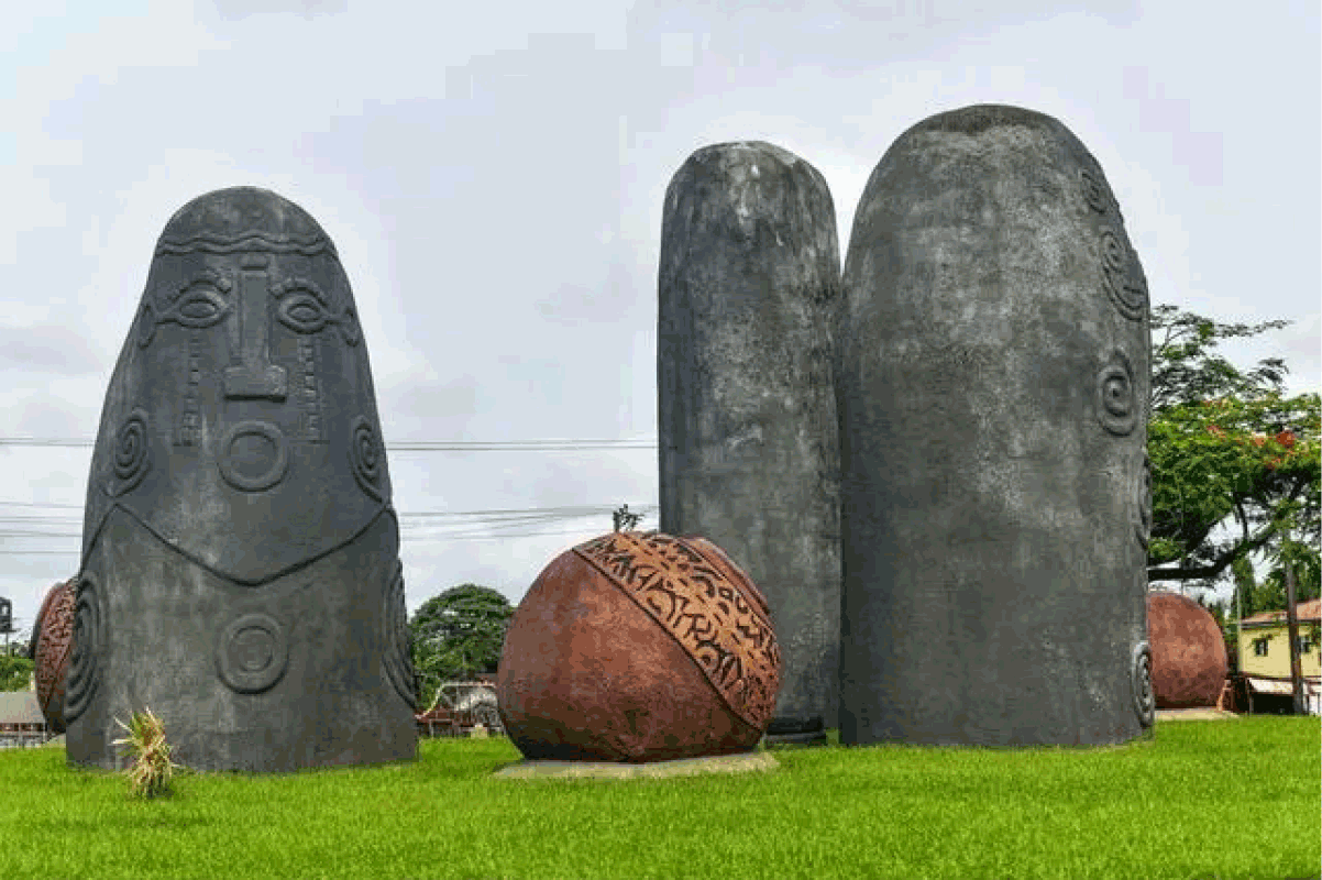
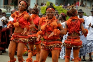
CULTURE
Ethnic Groups & Languages
For centuries, modern-day Cross River state has been home to diverse ethnic groups, with the Efik residing in the riverside south and Calabar, the Ekoi (Ejagham) in the inland south, the Akunakuna, Boki, Bahumono, and Yakö (Yakurr) in the central region, and the northern region is inhabited by the Bekwarra, Ogoja, Bette, Igede, and Ukelle (Kukele) communities. In the pre-colonial era, the region was divided among these ethnic groups, with some joining the Aro Confederacy, while the Efik established Akwa Akpa (Old Calabar) city-state.
During the colonial period, the Efik city-state, known as Old Calabar, became a British protectorate in 1884 and served as the capital of the Oil Rivers Protectorate. Over time, the British gained formal control of the entire area, particularly in the early 1900s, when the protectorate was incorporated into the Southern Nigeria Protectorate, eventually merging into British Nigeria. Following the merger, Cross River state became a hub of anti-colonial resistance during the Women’s War and became a significant center for trade, facilitated by the international seaport at Calabar.
LGAs
NORTH
Bekwarra
Obanliku
Obudu
Ogoja
Yala
CENTRAL
Abi
Boki
Ikom
Etung
Obubra
Yakurr
SOUTH
Akamkpa
Biase
Calabar Municipality
Calabar South
Bakassi
Odukpani
Akpabuyo
AS SOUTH-EASTERN STATE
During the Nigerian Civil War
After independence in 1960, the area now regarded as Cross River state was part of the post-independence Eastern Region until 1967, when the region was split and the area became part of the South-Eastern state. Less than two months afterwards, the Igbo-majority of the former Eastern Region attempted to secede and form the state of Biafra leading to a three-year long Nigerian Civil War.
Calabar and its port became a contested battleground in Operation Tiger Claw, and the people from Cross River state, predominantly Biafrans, faced persecution by Nigerian forces. Eventually, at the end of the war and the reunification of Nigeria, the South-Eastern state was reformed until 1976 when it was officially renamed Cross River State.
In 1987, Cross River State was further divided, with the western part breaking off to form the new Akwa Ibom state. The oil-rich Bakassi Peninsula, was a part of the state, but it was ceded to Cameroon on the 14th of August 2008 under the terms of the Greentree Agreement.
Military Regime
The history of Cross River State’s governance began with the military regime following Nigeria’s first attempt at state creation in 1967. During this period, the state witnessed the leadership of three military governors.
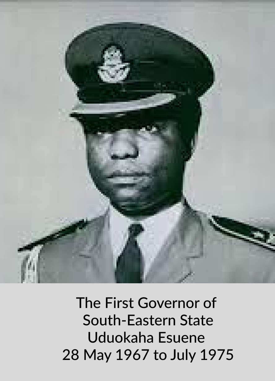
Udoakaha J. Esuene (1967-1975): Udoakaha J. Esuene was the pioneer military governor of Cross River State, serving from 1967 to 1975. He played a crucial role in establishing the foundation for the state’s administrative structure and development.
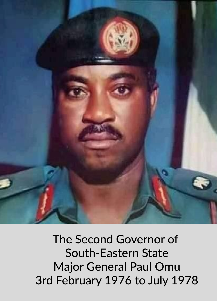
Paul Omu (1975-1978): After Esuene’s tenure, Paul Omu assumed office as the military governor from 1975 to 1978. His administration focused on addressing socio-economic challenges and advancing developmental projects in the state.
Tunde Elegbede (1978-1979): Tunde Elegbede was the last military governor during this period, serving from 1978 to 1979. His leadership marked the transition from the military regime to the second republic as Nigeria returned to civilian rule.
ECONOMY
Agriculture
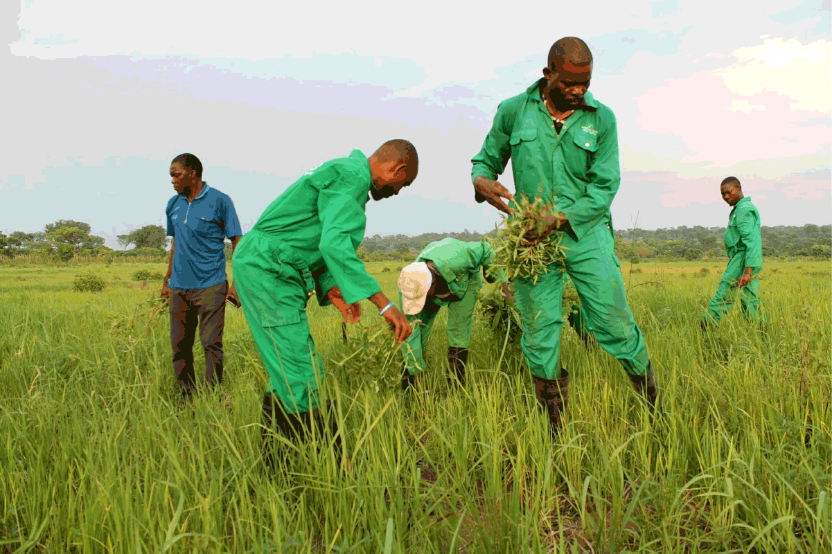
Agriculture is the primary driving force behind the State’s economy and provides jobs for about 70% of its indigenes.
The State’s primary cash crops include Oil Palm, Rubber, and Cocoa, with Cross River ranking as Nigeria’s second-largest Cocoa producer.
In addition, the State grows a diverse range of crops, including cassava, yams, rice, plantains, bananas, cocoyam, maize, groundnuts, mangos, oranges, sugar cane, cashew and pineapples.
More
List of states in Nigeria with dates of creation and names of presidents at the time of creation List of Nigeria’s 36 states and the Federal Capital Territory AbiaAdamawaAkwa IbomAnambraBauchiBayelsaBenueBornoCross RiverDeltaEbonyiEdoEkitiEnuguFederal Capital Territory, AbujaGombeImoJigawaKadunaKanoKatsinaKebbiKogiKwaraLagosNasarawaNigerOgunOndoOsunOyoPlateauRiversSokotoTarabaYobeZamfara List of 5 states…
Borno Geography, Economy, History, and Culture Borno is a notable state in northeastern Nigeria, known for its diverse landscape, significant agricultural activities, and strategic geographic positioning.…
Baruteen ethnic groups, languages The major ethnic groups, languages in Baruteen are Batonu, Hausa, Fulani, Yoruba and Bokobaru. Baruteen Local Government Area was created from…
Major ethnic groups, languages in Edu The major ethnic groups, languages in Edu are: Nupe, Yoruba and Hausa. Edu, a Local Government Area in Kwara State…
Plateau people, tribes, ethnic groups, languages Plateau state has over forty ethno-linguistic groups. Some of the indigenous tribes in the state are:BeromAfizereAmoAnagutaAtenBogghomBujiChallaChipFierGashishGoemaiIrigweJarawaJukunKofyar (comprising Doemak Kwalla and…
Creation of Niger State Niger State was created on the 3rd February, 1976 out of the then North-Western state during the regime of General Murtala…
DEPUTY GOVERNORS IN NIGER STATE SINCE CREATION NIGER STATE DEPUTY GOVERNORS SINCE CREATION ARE: SNNAMEREMARK1.Alhaji Muhammed Salawu AgaieDeputy Chairman N/S Executive Council Under Col. Ola Oni2.Alhaji Idrisu Alhassan…