The 1952 Census Reports the ljaws of the Niger Delta region was recognized as one of the ten major ethnic groups with a population of 0.9 million. During the colonial administration, a separate province was created for them.
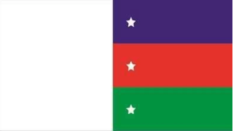
Bayelsa flag
The amalgamation of Southern and Northern Protectorates in 1914 triggered the fear among minority ethnic groups of political domination; hence their agitation for a distinct state comprising the old Brass, Degema and Western ljaw Divisions, under the umbrella of ljaw National Group, started in earnest. During the colonial period, Britain signed many treaties of protection with the chiefs of many coastal communities, especially the ljaws, with the hope that at Nigeria’s independence in 1960, a nation state would be created for them.
Between 1941 and 1956, many nationalist movements were formed mainly to establish ljaw political sovereignty. They pressed the issue of separate political sovereignty before the Willink Commission 1958. In order to allay the fears of the ethnic minorities, the Willink Commission recommended the establishment of the Niger Delta Development Board (NDDB) to tackle the problems of underdevelopment of the area, environmental neglect and political domination. Despite the establishment of the Board, the agitation for state creation, based on the above stated problems, continued until the military wrested political power and control of Nigeria from civilians on 15th January 1966.
In February 1966, Isaac Boro, an ljaw son from Kaiama town, with Sam Owonaro, Nottingham Dick and thousands of their supporters unilaterally proclaimed a “Niger Delta Peoples Republic.” But the Federal Government brought the rebellion to a sudden end. On May 27, 1967, the then Rivers State (which was made up the present Rivers and Bayelsa States) was created.
Agitation for a separate indigenous Ijaw State continued among the ljaws and some of the reasons given included: environmental degradation occasioned by oil exploration and exploitation; continued neglect of the economic development of the area, political marginalization et cetera. On October 1st of 1996, Bayelsa State was created out of Rivers State by the Sani Abacha’s military government. Its name Bayelsa was derived from acronyms of three functional Local Government Areas at the time: Brass LGA (BALGA), Yenagoa LGA (YELGA) and Sagbama LGA (SALGA).
Bayelsa
Bayelsa is a state in Nigeria. It is located in the southern part of the country.
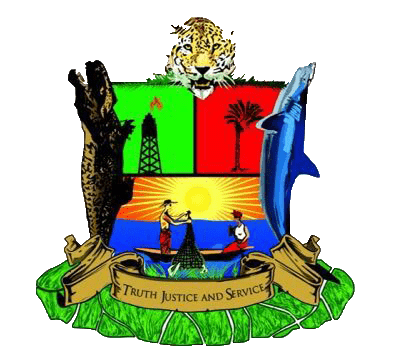
Bayelsa coat of arms
Created on October 1st 1996 from the old Rivers State, it’s bounded to the east by Rivers State and west by Delta State, the beautiful waters of the Atlantic Ocean dominates its southern borders.
It has the longest coastline in the West African sub-region making the State a tourists destination.
Bayelsa State consists of 8 Local Government Areas:
Brass
Ekeremor
Kolokuma/Opokuma
Nembe
Ogbia
Sagbama
Southern Ijaw
Yenagoa
The name Bayelsa is derived from a combination of acronyms of three Local Government Areas within its confines: Brass LGA (BALGA), Yenagoa LGA (YELGA), and Sagbama LGA (SALGA). The state is made up of 8 Local Government Areas; they are Ekeremor, Kolokuma Opokuma, Yenagoa, Nembe, Ogbia, Sagbama, Brass and Southern Ijaw.
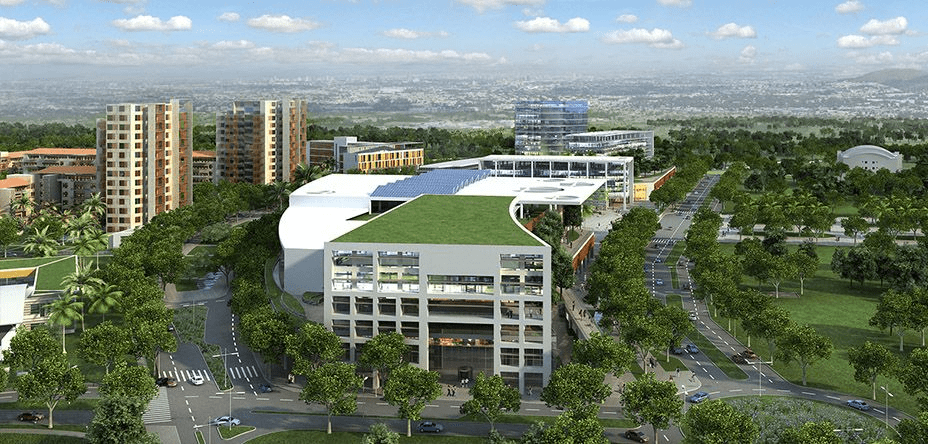
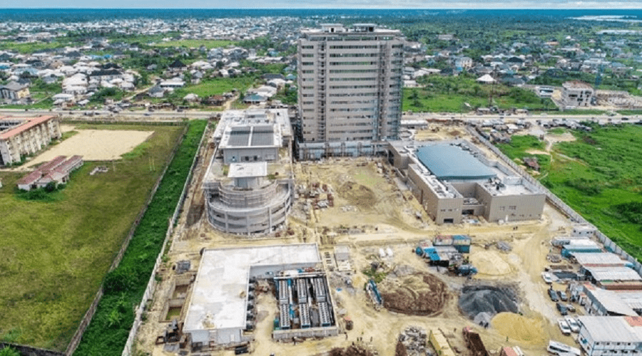
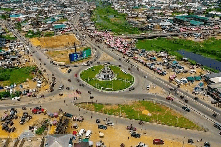
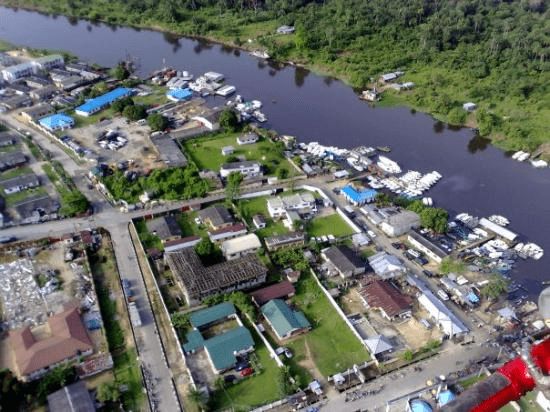
The beautiful city of Yenagoa serves as the Capital City which plays host to most of the Government and private institutions.
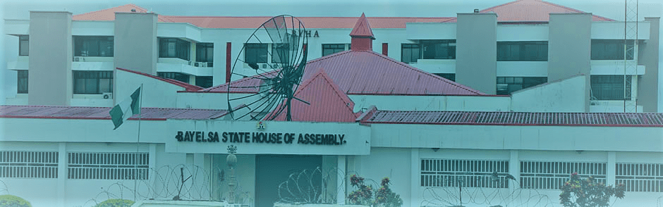
Bayelsa State House of Assembly, Yenegoa
The four main languages spoken are Izon, Nembe, Ogbia and Epie-Atissa. Like the rest of Nigeria, English is the official language.
Bayelsa State has one of the largest crude oil and natural gas deposits in Nigeria. Bayelsa is often described as the cradle of Ijaw culture and tradition because of its rich culture and tradition that dates back to so many centuries.
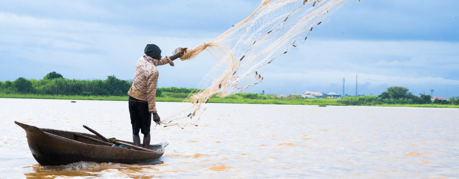
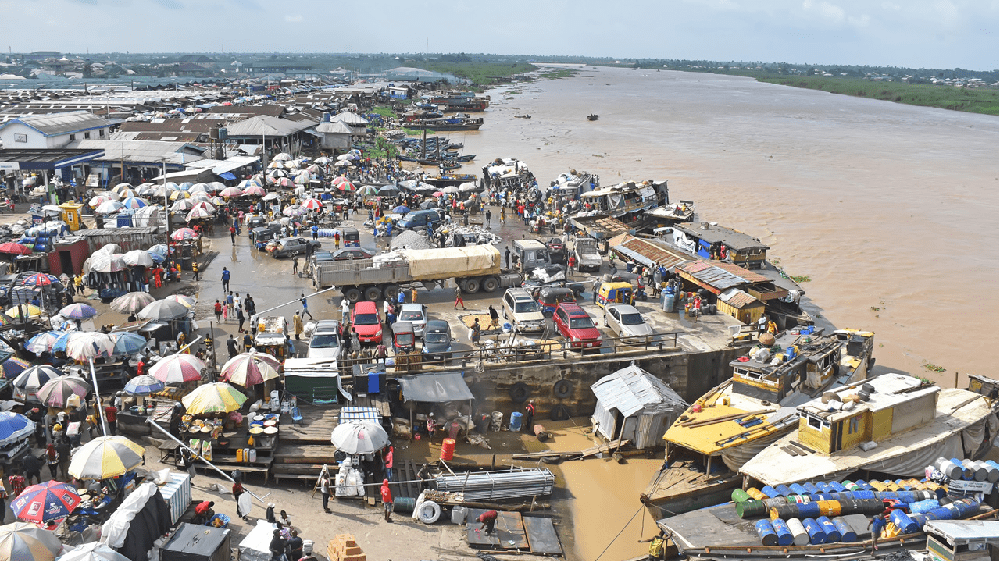
Fishing is the major occupation of Bayelsa people because of the abundant creeks, lagoons, rivers and swamps within which commercial fishing is practiced. Over 200 species of fish can be found in the waters within and around the state. Fish oil extraction is a common economic activity throughout all the LGAs of the state, and the coastal areas abound in sea foods such as fish, oysters, crabs, lobsters, periwinkle et cetera. There are also sea animals such as Hippopotamus, manatee, crocodile etc. in the seas, rivers and streams that crisscross the state.
Food crops grown in the state include yam, cocoyam, banana, pineapple and plantain. Cash crops grown in the state include coconut, pears, oil palm and raffia palm. The potentialities for the development of these crops to feed local industries are very good. Technologies are being developed to reclaim land from mangrove swamps in order to cultivate food, especially lowland rice and the cash crops identified above on a large, commercial scale.
Location: Bayelsa is geographically located approximately within Latitude 4°15 North at the Southern part & 5°23 North at the Northern limit and Longitude 5°22 East at the Western part & 6°45 East at the actual Eastern limit. It is bordered by Delta State to the West, Rivers State to the East, the Atlantic Ocean to the South and both Rivers and Delta States to the North.
Geology: Domiciled within the lower delta plain believed to have been formed during the Holocene of the quaternary period by the accumulation of sedimentary deposits. The major geological characteristic of the state is sedimentary alluvium.
Climate and Vegetation: Rainfall in the State varies in quantity from one area to another. The state experiences equatorial type of climate in the southern the most part and tropical rain towards the northern parts. The average monthly temperature is in the range of 25°C to 31°C. The hottest months are December to April.
Minerals: With the largest crude oil reserve in the Niger Delta of Nigeria, the state produces over 40% of the country’s on-shore crude oil and vast quantities of associated gas. It also has large deposits of clay.
Reference: bayelsastate.gov.ng/our-history/
More
History of Bayelsa State Bayelsa State was created on October 1, 1996 out of the old Rivers State. The name, Bayelsa, is an acronym…
Bayelsa State NYSC orientation camp address The address of the NYSC orientation camp in Bayelsa State is: Kaiama Grammar School, Kaiama, Kolokoma-Opokuma Local Government Area, Bayelsa…
Bayelsa State Executive Council, 2022 The Bayelsa State Executive Council is the highest Government body in the State and is headed by the Executive Governor of…
Bayelsa local government Bayelsa State comprises 8 Local Government Areas, namely: Brass Ekeremor Kolokuma/Opokuma Nembe Ogbia Sagbama Southern Ijaw Yenagoa Bayelsa is a…
Bayelsa Past Governors List of the previous governors of Bayelsa State, from Philip Ayeni to Seriake Dickson CAPT. PHILIP O. AYENI MILITARY ADMINISTRATOR…
Bayelsa State Executive Council members, 2021 Some members of Bayelsa State Executive Council, 2021, during the administration of Governor Douye Diri Senator Douye Diri EXECUTIVE GOVERNOR…
Bayelsa flag Flag of Bayelsa State and its meaning White Colour Represents purity, honour and truthfulness of the people and their quest…
Bayelsa flag & coat of arms Flag & coat of arms of Bayelsa State, Nigeria Coat of arms The Bayelsa State’s official symbol of identity was unveiled…
Bayelsa coat of arms Coat of arms of Bayelsa State, Nigeria The Bayelsa State’s official symbol of identity was unveiled on 1st October, 2012 Description…
Bayelsa State symbol The official symbol, coat of arms of Bayelsa State The Bayelsa State’s official symbol of identity was unveiled on 1st October,…