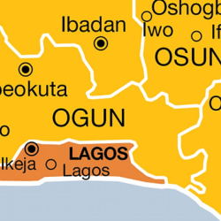
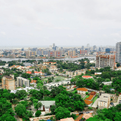
Ikorodu is part of Lagos city and a Lagos state’s administrative division alongside 5 others, namely: Ikeja, Badagry, Ikorodu, Lagos [Eko] and Epe.
It’s has beautiful environment with greenfield and blue spaces outlined with many of the cultural amenities one would expect from a conurbation of towns and traditional settlements.
LGA
Ikorodu
LCDAs
Igbogbo-Baiyeku, Ikorodu North, Ikorodu West, Imota and Ijede.
Communities
Ijebu, Remo, Ikorodu, Egbin, Igbogbo, Imota, Ijede, Maya Adio, Odogunyan, Isiu, Igbokuta, Ewu-Elepe, Baiyeku, Oreta, Ofin, Gberigbe, Erikorodo, Igbalu, Ibese, Ebute, Majidun, Itowolo, Eko-Awori.
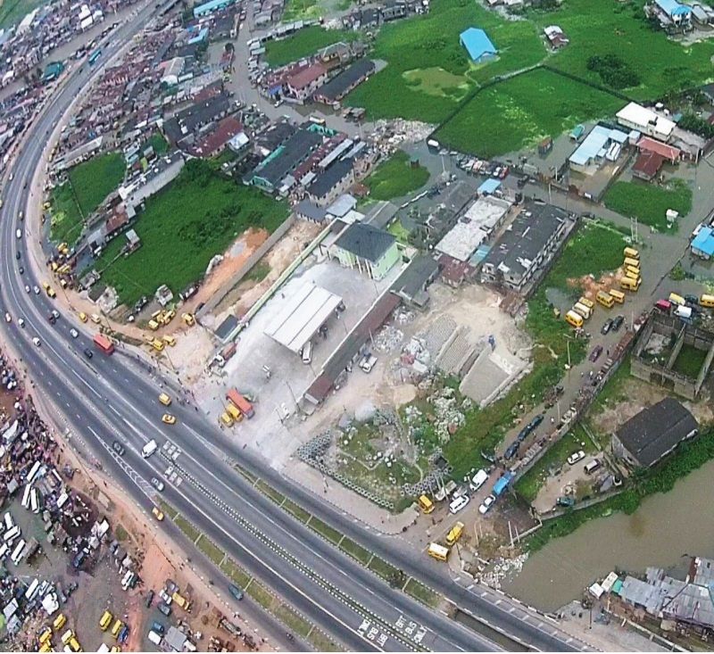
The Ikorodu area is made up of a group communities with large expanse of wetlands and rainforests zones located on the north-eastern boundary of Lagos State.
Ikorodu derives its name from ‘Oko-Odu’ meaning vegetable farm.
It lies approximately 36 km north of Lagos.
In the early 1980s, it was largely agrarian and characterized by a few communities.
However, being a major gateway from Lagos metropolis to some nearby states and having a regional road, it has experienced rapid urbanization and population influx over the decades accompanied by challenges such as traffic congestion, inadequate infrastructure, encroachment on agricultural land uses, land management conflicts, environmental degradation, sea level rise and flooding.
Several distinct communities and neighbourhoods comprise Ikorodu. Each with its own peculiarity, flavour, resident based and pride as most communities consider their settlements as home rather than the Lagos sub-region.
Ikorodu is 48,058.25 hectares in size and situated in the north-eastern boundary of Lagos metropolis which is in the wetland and rainforest ecological zones of Nigeria’s coastal zone, between
Ogun River in the west and River Aye on the east bounding Itoikin town.
Furthermore Ikorodu lies spatially
between longitude 3023’E and 3048’E, latitude 6031’N and 6041’N of the Equator, while in the Universal Traverse Mercator (UTM) system it is in zone 31 with its spatial extents between Easting coordinates 543921.86mE and 589192.24mE, and Northing coordinates 721729.38mN and 738830.36mN.①
The east and west parts of the Ikorodu are River Aye and Ogun River respectively.
Lagos Lagoon constitutes the
southern boundary while it shares common boundary with Ogun State in the north.
Ikorodu is growing rapidly as the population will exceed Six (6) million inhabitants by 2036 and this is expected to put more pressure on the available infrastructure.②
It is currently experiencing its most intense period of development, not only in major towns and adjoining settlements, but as well as the rural settlements and fringes.
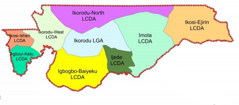
The urbanisation trends of the is evident from the increase in activity areas, population influx, remarkable growth in physical development and socio-economic transformation due to urban sprawl from the Lagos metropolis and Ogun State.
Features of Ikorodu
Land area
48,058.25 Ha
Total area of Acquisition
17,472.52 Ha
Extent of encroachment on Acquisition
639.79 Ha
Total area of Excision
1,072.37 Ha
Extent of Land Use Development
22,545.89 Ha
Extent of Agricultural land and Forest
5,579.21 Ha
Extent of Conservational/Marshland/Water Catchment
11,514.00 Ha
Extent of Forest Reserves
1,538.51 Ha
Population Estimate (2016)
1,752,403
Topography
Not more than 64m
Main accessibility
• From Lagos Metropolitan area and the State administrative capital
(Ikeja)
• From Sagamu, Ogun State
• From Epe and Ijebu-Ode, Ogun State
Lagos-Ikorodu Road,
Ikorodu-Sagamu Road
Ikorodu-Itoikin Road
Modes of transportation
Land and water
Key economic drivers
Industries, Educational Institutions, Agriculture and Informal
Sector Activities.
Physical development drivers
Land availability, Proximity to Waterfront and Coastal areas, Tourism resources
Some traditional settlements
Ikorodu, Igbogbo, Imota, Baiyeku, Agbowa, Agboyi, Baiyeku,
Ebute-Iga, Egbin, Ibeshe, Ijede, Ofin, Oreta
Reference
① ② lagosstate.gov.ng
