Oromia administrative areas: Zones and Weredas (Towns)
Oromia Region
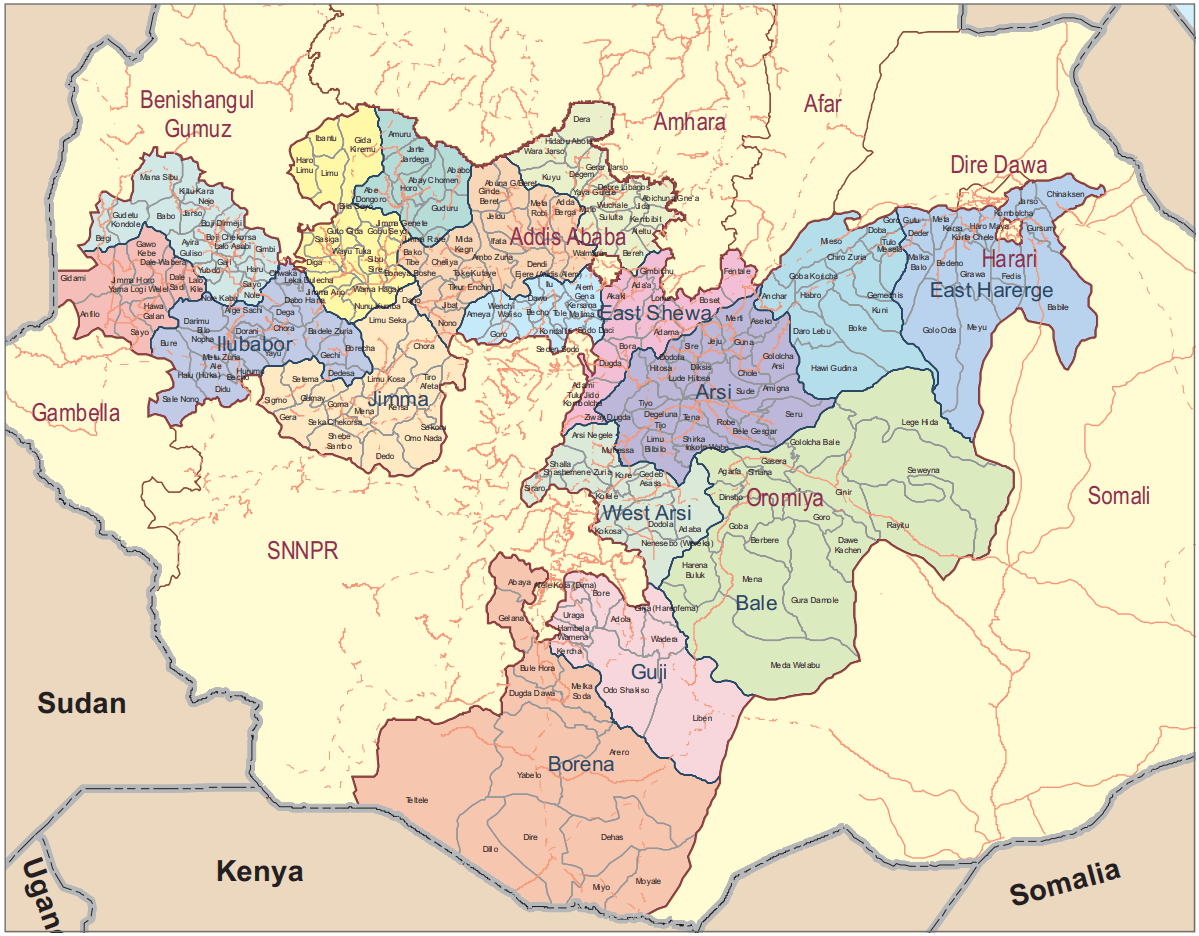
West Wellega Zone
Menesibu
Nejo
Gimbi
Lalo Asabi
Kiltu Kara
Boji Dirmeji
Guliso
Jarso
Kondala
Boji Chekorsa
Babo Gambel
Yubdo
Genji
Haru
Nole Kaba
Begi
Gimbi
Seyo Nole
Homa
Ayira
East Wellega Zone
Limu
Ibantu
Gida Kiremu
Haro Limu
Boneya Bushe
Wayu Tuka
Gudeya Bila
Gobu Seyo
Sibu Sire
Diga
Sasiga
Leka Dulecha
Guto Gida
Jima Arjo
Nunu Kumba
Wama Hagelo
Nekemte
Illu Aba Bora Zone
Darimu
Alge Sachi
Chora
Dega
Dabo Hana
Gechi
Borecha
Dedesa
Yayu
Metu Zuria
Ale
Bure
Nono Sele
Bicho
Bilo Nopha
Hurumu
Didu
Mako
Huka /Halu
Metu
Bedele
Bedele Zuria
Chewaka
Doreni
Jimma Zone
Limu Seka
Limu Kosa
Sokoru
Tiro Afeta
Kersa
Mana
Gomma
Gera
Seka Chekorsa
Dedo
Omonada
Sigamo
Setema
Shebe Senbo
Chora Botor
Guma
Agaro
West Shewa Zone
Ginde Beret
Jeldu
Ambo Zuria
Midakegn
Cheliya
Bako Tibe
Dano
Nono
Tikur Enchini
Dendi
Ejere
Wolmera
Ada Berga
Meta Robi
Ambo
Abuna Gindeberet
Toke Kutayu
Jibat
Elfata
Holeta
North Shewa Zone
Were Jarso
Dera
Hidabu Abote
Kuyu
Degem
Girar Jarso
Debere Libanos
Wuchale
Abichuna Gnaa
Kimbibit
Bereh
Sululta
Fiche
Yaya Gulele
Jida
Mulo
Aleltu
Sendafa
East Shewa Zone
Fentale
Boset
Adama
Lome
Gimbichu
Ada A
Dugda
Adami Tulu Jido Kombolcha
Bishoftu
Bora
Liben
Akaki
Ziway
Arsi Zone
Merti
Aseko
Gololcha-Wewreda
Jeju
Dodota
Ziway Dugda
Hitosa
Sude
Chole
Amigna
Seru
Robe
Tena
Shirka
Digluna Tijo
Tiyo
Munesa
Limuna Bilbilo
Guna
Sire
Lude Hitosa
Deksis
Bale Gasegar
Enkelo Wabe
Asela
West Hararge Zone
Mieso
Doba
Tulo
Mesela
Chiro
Anchar
Guba Koricha
Habro
Daro Lebu
Boke
Kuni
Gemches
Chiro Zuria
Bedesa
East Hararge Zone
Kombolcha
Jarso
Gursum
Babile
Fedis
Haro Maya
Kurfa Chele
Kersa
Meta
Goro Gutu
Deder
Melka Belo
Bedeno
Midga Tola
Chinaksan
Girawa
Gola Oda
Meyu
Bale Zone
Agarfa
Gololcha
Gasera
Legehida
Ginir
Sinana
Goba
Harena Buluk
Dolo Mena
Meda Welabu
Berbere
Guradamole
Goro
Rayitu
Seweyna
Robe
Goba
Dawe Kachen
Dinsho
Dawe Serer
Borena Zone
Bule Hora
Yabelo
Arero
Moyale
Dire
Teletele
Abaya
Dugida Dawa
Miyu
Gelana
South West Shewa Zone
Ameya
Wonchi
Woliso
Dawo
Ilu
Sebeta Hawas
Kersa Ena Malima
Tole
Becho
Seden Sodo
Woliso
Goro
Sodo Dacha
Sebeta
Guji Zone
Uraga
Bore
Adola
Wadera
Odo Shakiso
Kercha
Liben
Dima
Hambela Wamena
Girja
Negele
Adola
Adama Special Zone
Adama
Jima Special Zone
Jima
West Arsi Zone
Siraro
Shala
Arsi Negele
Kofele
Kore
Gedeb Asasa
Dodola
Kokosa
Nensebo
Adaba
Shashemene
Shashemene Zuria
Kelem Welega Zone
Hawa Gelan
Yemalogi Welel
Dale Wabera
Gawo Kebe
Seyo
Denbi Dollo
Anfilo
Dale Sadi
Gidami
Jimma Horo
Lalo Kile
Horo Gudru Welega Zone
Horo
Shambu
Guduru
Hababo Guduru
Abey Chomen
Jima Genete
Jima Rare
Jardega Jarte
Amuru
Abe Dongoro
Burayu Special Zone
Burayu Special Wereda
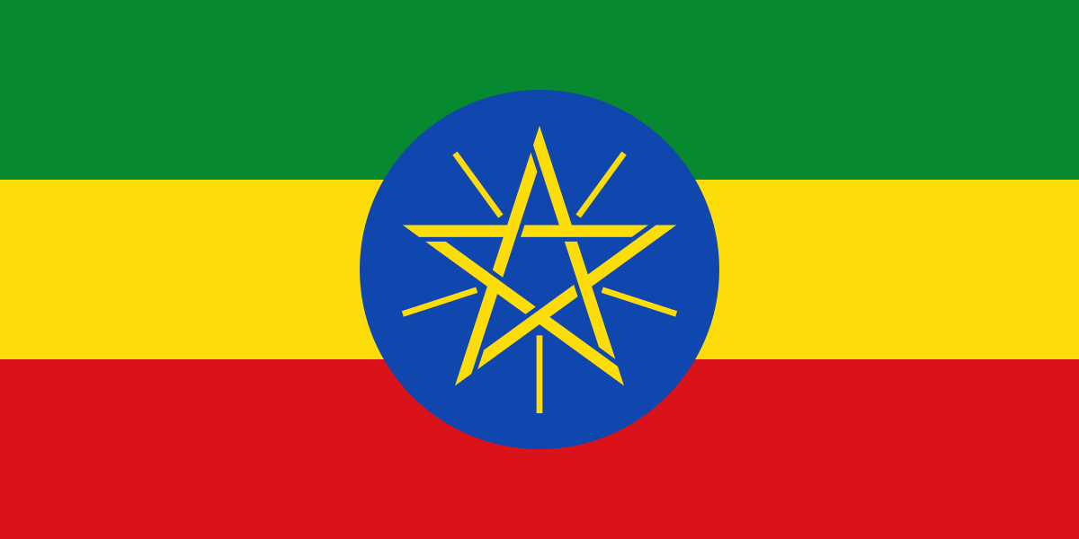
Ethiopia
The Federal Democratic Republic of Ethiopia is an African country.
It shares borders with Eritrea to the north, Djibouti to the northeast, Somalia to the east and southeast, Kenya to the south, South Sudan to the west, and Sudan to the northwest.
Addis Ababa is the capital and largest city.

Languages: Amharic, Oromo, Somali, Tigrigna, Afar …
Currency: Ethiopian Birr
Dialing code: +251
As of 2023 the country’s population was 107,334,000, making it the 13 most populated country in the world and 2 most populated in Africa after Nigeria.
It covers a land area of 1,112,000 square kilometres (472,000 sq. miles).

Ethiopia is multi-ethnic with over 80 different ethnic groups. Oromo and Amhara are the country’s two largest ethnic groups.
Christianity is the most widely professed faith in the country. The country has some adherents of Islam and other faiths.
Regions
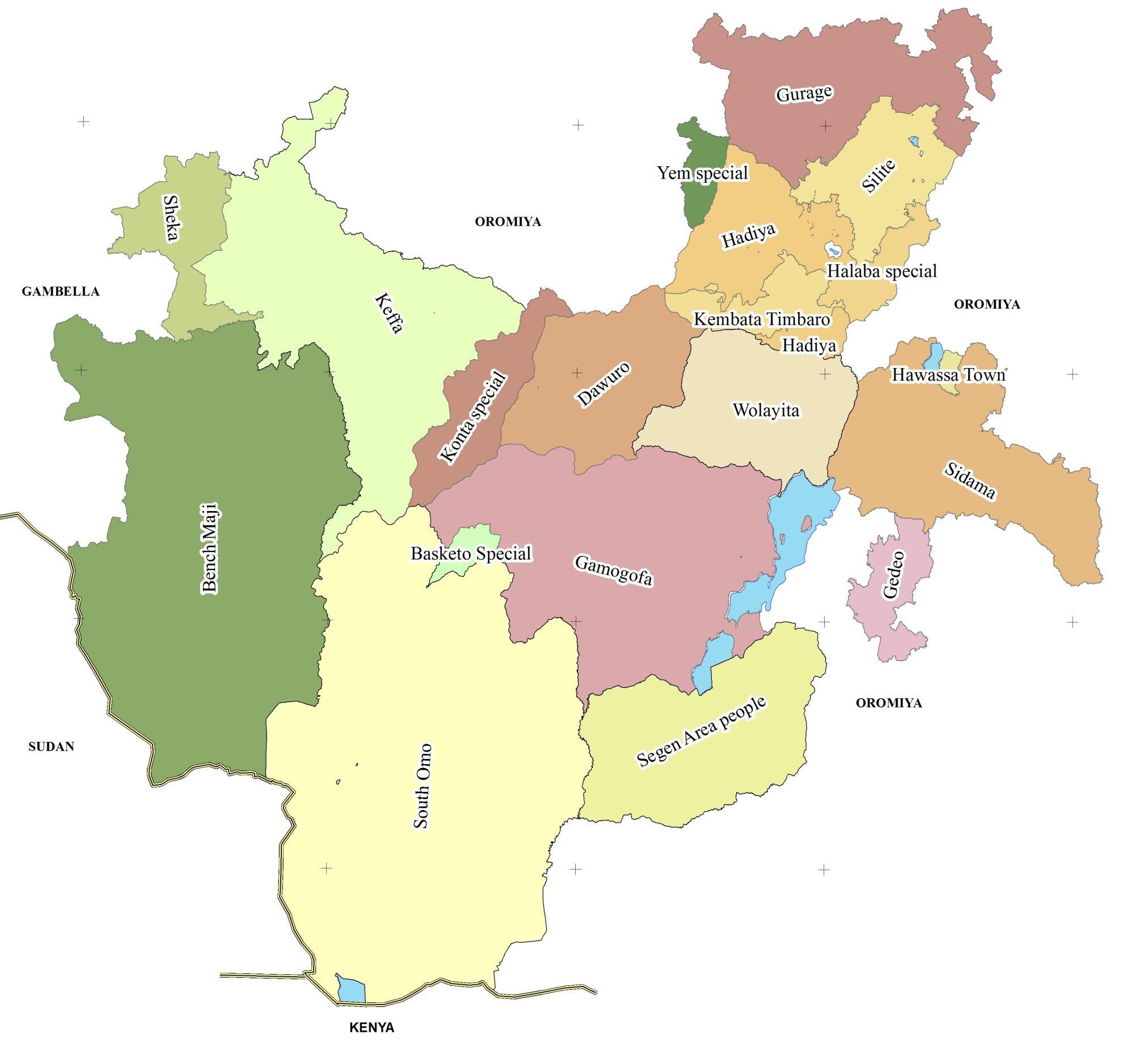
Ethiopia is administratively divided into four levels: regions, zones, woredas (districts) and kebele (wards).
The first level administrative division in Ethiopia is a region, also called kilil, or alternatively regional state.
The 1995 Constitution of Ethiopia established the regions based on ethno-linguistic territories.
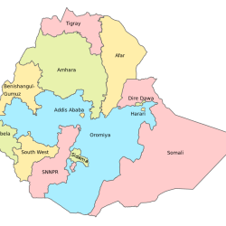
The country comprises 11 regions and two city administrations under these regions, many zones, woredas and neighbourhood administration: kebeles.
Previously, this level was called a province, and though many of the old province and new region names are the same, the entities are not identical and the words region and province are not interchangeable. As of 2022 there were eleven regions.
The regions and their capitals in Ethiopia are as follows:
- Addis Ababa (City) …. Addis Ababa
- Afar Region … Semera
- Amhara Region … Bahir Dar
- Benishangul-Gumuz Region … Asosa
- Dire Dawa (City) … Dire Dawa
- Gambela Region … Gambela
- Harari Region … Harar
- Oromia Region … Addis Ababa
- Sidama Region … Hawassa
- Somali Region … Jijiga
- South West Ethiopia Peoples’ Region … Bonga
- Southern Nations, Nationalities, and Peoples’ Region … Hawassa
- Tigray Region … Mek’ele
Zones
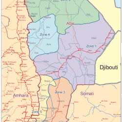
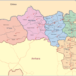
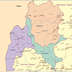
Regions are subdivided into zones. The number of zones varies, but most regions have around six to twelve zones.
The largest region Oromia has over 20 zones, and the two smallest regions have none.
There are some cities which are set up as “special zones”, such as Bahir Dar Special Zone in the Amhara Region.
The earlier equivalent to a zone was called an awrajja, and many zones today are named the same as their earlier awrajja, but the terms zone and awrajja are not interchangeable.
Woredas
Zones are divided into woredas (districts). In Ethiopia, the woredas comprise three main organs: a council, an executive and a judicial.
The Woreda Council is the highest government organ of the district, which is made up of directly elected representatives from each kebele in the woredas.
The representative of the people in each kebele is accountable to their electorate.
Kebele
Woredas are divided into kebele, municipalities. Each kebele comprises around 20 smaller villages.
Kebele is the smallest administrative division. This is sometimes also called tabia or tabiya. They are at the neighbourhood level and are the primary contact for most citizens living in Ethiopia. Their administrative unit consists of an elected council, a cabinet (executive committee), a social court and the development and security staff. Kebeles are accountable to their woreda councils and are typically responsible for providing basic education, primary health care, agriculture, water, and rural roads.
