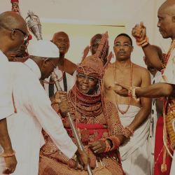
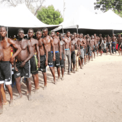
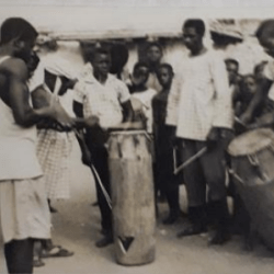
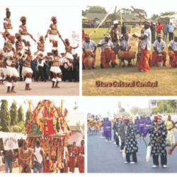
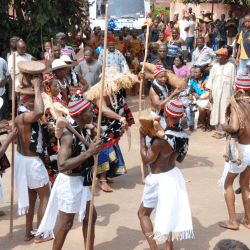
In the primordial times, masquerades were principally used as law enforcement agents because of the general belief that they were spiritual elements. They were effective in ensuring compliance with traditional norms and values and in setting moral code in the communities. Masquerades were also relevant as an institution for cultural entertainment. They come out in very colourful robes, accompanied by traditional dancers.
The masquerade institution is very important in Enugu State and its annual festival which comes up in November every year has become one of the greatest tourist attractions in the State. The festival usually attracts tourists in large numbers to Enugu. In the last few years, the government has tried to elevate it to an international tourist event like the famous Brazilian Samba Carnival.
Tourism, festivals in Enugu
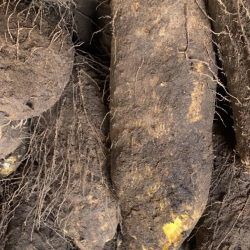
Enugu Slate is endowed with a lot of tourist resources, facilities and potentials. These exist in natural features such as lakes, caves, hills, falls, springs and cultural festivals as well as such man-made features like hotels, telecommunications and transportation outfits, galleries and monumental or archaeological collections. Some of these potentials are developed, others are yearning for development. Some of the existing tourist events in Enugu include the Mmanwu Festival and the New Yam Festival (Iri-ji).
Enugu
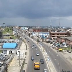
Enugu is a state in the South Eastern part of Nigeria. The capital city of the state also has the same name: Enugu.


The state shares borders with Abia State to the South, Ebonyi State to the East, Benue State to the Northeast, Kogi State to the northwest and Anambra State to the West.


Though a land-locked State, Enugu, the capital city, is located approximately 2 1/2 driving hours away from Port Harcourt, Calabar and warri, all coastal cities with major shipping ports. Enugu is also located within an hour s drive from Onitsha and 2 hours drive from Aba, both of which are trading centres in Nigeria. The city is also located within 5 driving hours from Abuja and 7 driving hours from lagos, the administrative and commercial headquarters of Nigeria respectively.

Lying partly within the semi-tropical rain forest belt of the south, the State spreads (through a land area of approximately 8727.1km2 ) towards the north with its physical features changing gradually from tropical rain forest to open wood-land and then to the Savannah. Apart from a chain of low hills, running through Abakaliki (Ebonyi state) in the east to Nsukka in the north-west, and then southwards through Enugu and Agwu, the rest of the state is made up of low land separated by numerous streams and rivulets the major ones of which are the Adada River and the Oji River.
The mean temperature in Enugu State in the hottest month of February is about 36.20C (97.160F), while the minimum temperature of about 20.30C (68.540F) is recorded in November. The lowest rainfall of about 0.16cm3 is normal in February, while the highest is about 35.7cm3 in July. Enugu has a good soil and climate, sitting at about 223 meters above sea level, and the soil is well drained.

LGAs in Enugu State
The LGAs (Local Government Areas) in Enugu State, Nigeria are:
- Aninri
- Awgu
- Enugu East
- Enugu North
- Enugu South
- Ezeagu
- Igbo-Etiti
- Igbo-Eze North
- Igbo-Eze South
- Isi-Uzo
- Nkanu East
- Nkanu West
- Nsukka
- Oji-River
- Udenu
- Udi
- Uzo-Uwani

