Top places of tourist attractions in Bayelsa State are:
Lake Efi
Lake Efi is a huge natural lake located in Sabagreia, in Kolokuma/Opokuma local government area of Bayelsa State, and that is where the popular fishing festival take place.

The lake is to believed to be self-purifying and despite the forest that surround its approximately 2Km2 area, the lake clears every fallen piece of debris to its banks, leaving its entire surface pristine at all times. Also, according to local folklore, the lake is said to periodically kill fish in great quantities to provide food for local people. When this occurs, there is a festival as people collect the huge fish lying around for collection by the natures. Even more astonishing, despite the fact the lake is brimming with crocodiles, they do not harm humans during the festival.
Seigben Ogugu Lake
The Seigben Ogugu Lake in Amassoma, the university town, is 3km long and 500m in width, with a peculiar curving course. It is the site for the popular Seigben Ogugu Fishing and Feasting Festival, itself a popular tourist attraction.
The Okpoama Airstrip
The air strip at Okpoama is also a tourist site in its own right, bisecting the dense forest and running through to the Atlantic coastline.
Akassa Slave Tunnel
The slave trade left many scars on the Niger Delta, where it was very active, and of course Nigeria as a whole. In Ogbokiri, Akassa, Bayelsa State, stand grim-looking houses where slaves were chained as they awaited shipment to the Americas. Built of iron and brick, they are of considerable historic interest, particularly to ‘heritage’ tourists.
Akassa Lighthouse
Standing approximately 60m tall by the seaside in Akassa, this structure is reputed to be the tallest lighthouse in West Africa. Originally built in 1910, but relocated to its present site in 1912, its purpose was to help ships coming into the inland sea ports navigate their way through shallow waters. The lighting system was facilitated by solar energy. Standing out on the seashore, visitors would be amazed by this architectural edifice, while climbing the lighthouse would be an adventure to remember. Also the long stretch of sandy beach by the lighthouse adds more value to this site in terms of its future development as
British Consulate Building
The British established a consulate in Twon-Brass, from where they administered the area during the era. ‘legitimate trade’. The consulate buildings were still in use till the end of the colonial period in 1960.
Whiteman Graveyard
This is a cemetery containing the graves of Europeans who died in the Akassa raid of”1895. This was sparked by the way the local palm oil trade was coming under the increasing control of the Royal Niger Company at the expense of indigenous traders. The dawn attack of more than a thousand Nembe warriors on the company’s headquarters was led by King William Koko. The graveyard tells a vivid story of the raid and its bloody aftermath. It is located at Twon Brass, Brass Island and can be easily reached from the Brass jetty. A similar cemetery can also be found in the Ogbokiri area of Akassa.
Oloibiri Oil Museum
The first oil-well drilled in Nigeria was at Oloibiri, in Ogbia, Bayelsa State, in 1956. The well itself remains intact. A full-scale museum of oil history has been proposed on this location as a joint project by the state government, the federal government and the Shell Petroleum Development Company of Nigeria.
Isaac Boro Memorial
The name Isaac Jasper Adaka Boro and the town of Kaiama are symbols of the Niger Delta peoples’ struggle for economic and environmental justice. In 1966 Boro took up arms against the Nigerian Government and the oil companies, which he jointly accused of bringing misery and environmental devastation to local communities. With a rag-tag army of 160 men, he declared the independent Republic of the Niger Delta with himself as head of state. His revolution ended in defeat after 12 days but he remains a local hero, with the Isaac Boro Park as an important landmark in Port Harcourt, the neighbouring Rivers State capital. Meanwhile, a monument in Bora’s name has been built in Kaiama, his home town in Bayelsa. It was here, on December 11, 1998, that 5,000 Ijaw youths gathered to unveil the Kaiama Declaration. This charter of demands, calling on the oil companies to clean up their act, echoed those of Boro more than 30 years earlier.
Opume Bronze Heads
These are a collection of ancient relics whose origin and basic historical details continue to defy explanation. Comprising a lion’s head, a tortoise head and a sword, they are preserved in Opume forest in Ogbia local government area of Bayelsa. Apart from the uncertainty surrounding their provenance and age, they do not appear to be carvings. They are regarded as sacred objects and are steeped in local folklore. The story goes that a prince picked up the lion’s head out of curiosity and placed it onto his own. It became stuck and the prince became as wild as the animal whose resemblance he was sporting, terrorizing the whole neighbourhood and killing people. His father, the king; had no choice but to order him to be killed for his people’s safety.
Bayelsa
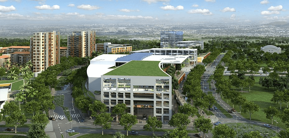
Bayelsa is a state in Nigeria. It is located in the southern part of the country.
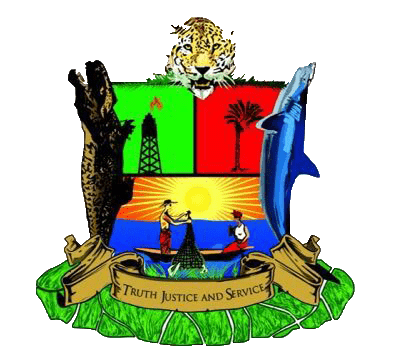
Created on October 1st 1996 from the old Rivers State, it’s bounded to the east by Rivers State and west by Delta State, the beautiful waters of the Atlantic Ocean dominates its southern borders.
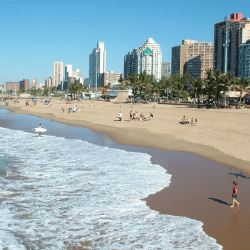
It has the longest coastline in the West African sub-region making the State a tourists destination.
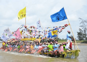
Bayelsa State consists of 8 Local Government Areas:
- Brass
- Ekeremor
- Kolokuma/Opokuma
- Nembe
- Ogbia
- Sagbama
- Southern Ijaw
- Yenagoa

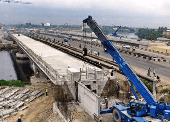
The name Bayelsa is derived from a combination of acronyms of three Local Government Areas within its confines: Brass LGA (BALGA), Yenagoa LGA (YELGA), and Sagbama LGA (SALGA). The state is made up of 8 Local Government Areas; they are Ekeremor, Kolokuma Opokuma, Yenagoa, Nembe, Ogbia, Sagbama, Brass and Southern Ijaw.
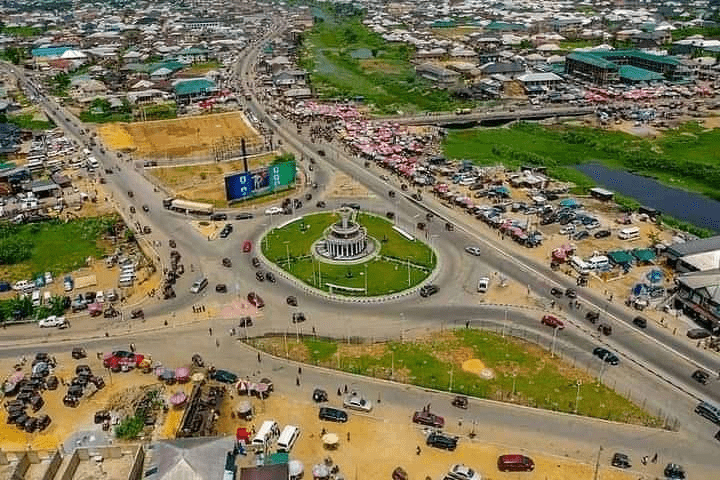
The beautiful city of Yenagoa serves as the Capital City which plays host to most of the Government and private institutions.

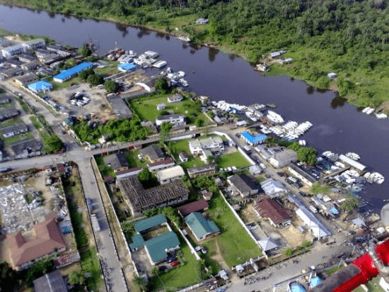
The four main languages spoken are Izon, Nembe, Ogbia and Epie-Atissa. Like the rest of Nigeria, English is the official language.
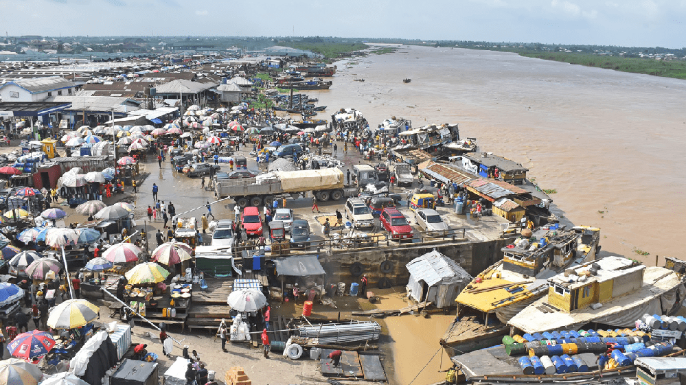
Bayelsa State has one of the largest crude oil and natural gas deposits in Nigeria. Bayelsa is often described as the cradle of Ijaw culture and tradition because of its rich culture and tradition that dates back to so many centuries.
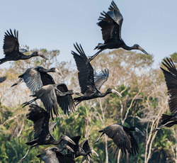
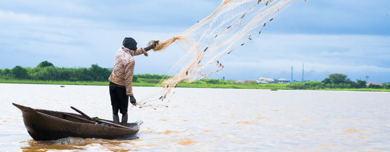
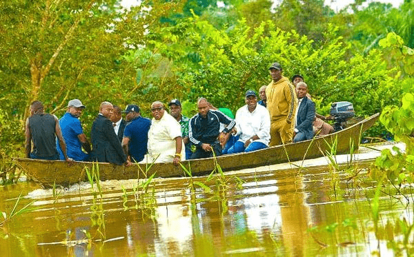
Fishing is the major occupation of Bayelsa people because of the abundant creeks, lagoons, rivers and swamps within which commercial fishing is practiced. Over 200 species of fish can be found in the waters within and around the state. Fish oil extraction is a common economic activity throughout all the LGAs of the state, and the coastal areas abound in sea foods such as fish, oysters, crabs, lobsters, periwinkle et cetera. There are also sea animals such as Hippopotamus, manatee, crocodile etc. in the seas, rivers and streams that crisscross the state.
Food crops grown in the state include yam, cocoyam, banana, pineapple and plantain. Cash crops grown in the state include coconut, pears, oil palm and raffia palm. The potentialities for the development of these crops to feed local industries are very good. Technologies are being developed to reclaim land from mangrove swamps in order to cultivate food, especially lowland rice and the cash crops identified above on a large, commercial scale.
Location: Bayelsa is geographically located approximately within Latitude 4°15 North at the Southern part & 5°23 North at the Northern limit and Longitude 5°22 East at the Western part & 6°45 East at the actual Eastern limit. It is bordered by Delta State to the West, Rivers State to the East, the Atlantic Ocean to the South and both Rivers and Delta States to the North.
Geology: Domiciled within the lower delta plain believed to have been formed during the Holocene of the quaternary period by the accumulation of sedimentary deposits. The major geological characteristic of the state is sedimentary alluvium.
Soils: The major soil types in the state are young and shallow,(inceptisol Aquepts) and acid sulphate soils (Sulphaquepts). There are variations in the soils, some soil types occupy extensive areas whereas others are of limited extent. However, based on physio graphic differences, several soil units could be identified in the state.
Climate and Vegetation: Rainfall in the State varies in quantity from one area to another. The state experiences equatorial type of climate in the southern the most part and tropical rain towards the northern parts. The average monthly temperature is in the range of 25°C to 31°C. The hottest months are December to April.
Minerals: With the largest crude oil reserve in the Niger Delta of Nigeria, the state produces over 40% of the country’s on-shore crude oil and vast quantities of associated gas. It also has large deposits of clay.

