Places and their polling stations in Lerala-Maunatlala, Botswana
153 Lecheng–Malaka
0728 Malaka Kgotla
0729 Malaka Primary School
0730 New Covenant Church
0731 Holy Gospel Apostolic Church
0732 Leboana-Mphiri Moreetsi Homestead
0733 Lecheng Primary School
0734 Lecheng Clinic
0735 Mokgalo JSS
0736 Mogotho Foot & Mouth Gate
154 Goo-Tau
0737 Mokungwane Kgotla
0738 Standpipe Next To Baletile Tidimalo’s Homestead
0739 Mathakola Day Care
0740 Mathakola Primary School
0741 Goo-Sekgweng Primary School
0742 Goo-Tau Primary School
0743 Gosemama JSS
0744 Swaneng Standpipe 5
0745 Roobuwa Standpipe
0746 Manaledi Primary School
155 Ratholo-Majwaneng
0747 Ratholo Primary School
0748 Moipei Kgotla
0749 Sekgarapana Pool
0750 Machibaba JSS
0751 Moeng Primary School
0752 Abfgac-Tree
0753 Molebatsi Primary School
0754 Serulapye Pool
0755 Boratapula Gate
0756 Boikago Cattle Crush
156 Lerala West
0757 Kukubjwe Primary School
0758 Lerala Primary School
0759 Kgetsi Ya Tsie
0760 Lekadibeng Primary School
0761 Modisadife Kgotla
0762 Kerekang Montsho’s Homestead
0763 Lerala Main Kgotla
157 Lerala East
0764 Lerala Clinic
0765 Seleka Farms
0766 Motlaleng’s Standpipe
0767 Mmakgabo Fields
0768 Mophane Tree (Next To Mmamakgowa’s Homestead)
0769 Standpipe 8a (Near Old Parliamentary Office)
158 Seolwane
0770 Seolwane Kgotla
0771 Seolwane Community Hall
0772 Seolwane Primary School
0773 Mokokwana Kgotla
0774 Mosweu Kgotla
0775 African Ranches
159 Maunatlala
0776 Revelation Church
0777 Maunatlala Sub-Land Board
0778 Maunatlala Primary School
0779 Old Sub-Land Board
0780 Maunatlala Clinic
0781 Masupe Primary School
0782 Tswapong Bokone Show Hall
0783 Motshabi’s Pool
0784 Chelaole Wells (Space Next To Ratsie’s Homestead)
160 Matolwane
0785 Lesenepole Primary School
0786 Matolwane Kgotla
0787 Lebakeng Standpipe
0788 Mapulane Primary School
0789 Bakgopeng JSS
0790 Raphiri Standpipe
Reference: iec.gov.bw/index.php/electoral-districts/polling-stations.html
Botswana
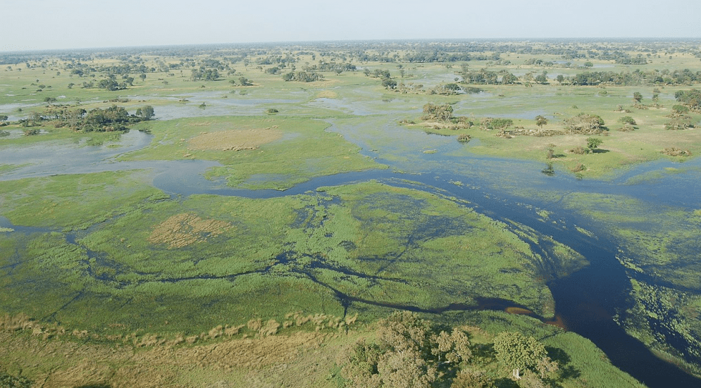
Botswana is a country in Africa. It is topographically flat, with approximately 70 percent of its territory being the Kalahari Desert.
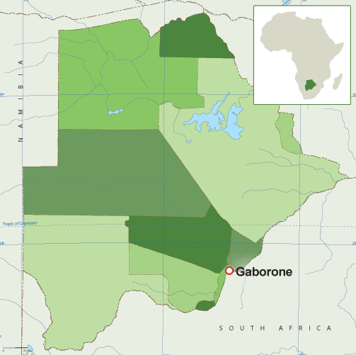
It is bordered by South Africa to the south and southeast, Namibia to the west and north, and Zimbabwe to the northeast.
Capital: Gaborone
Currency: Botswanan Pula
Official language: English
Population: 2.588 million (2021) World Bank
Dialing code: +267
Gross Domestic Product: 17.61 billion USD (2021) World Bank
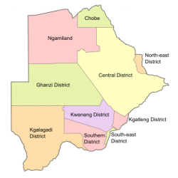
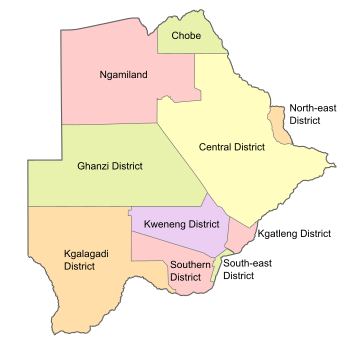
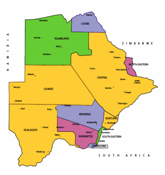
Botswana’s ten districts are:
- Southern District
- South-East District
- Kweneng District
- Kgatleng District
- Central District
- North-East District
- Ngamiland District
- Kgalagadi District
- Chobe District
- Ghanzi District
Botswana’s councils created from urban or town councils are: Gaborone City, Francistown, Lobatse Town, Selebi-Phikwe Town, Jwaneng Town, Orapa Town and Sowa Township.
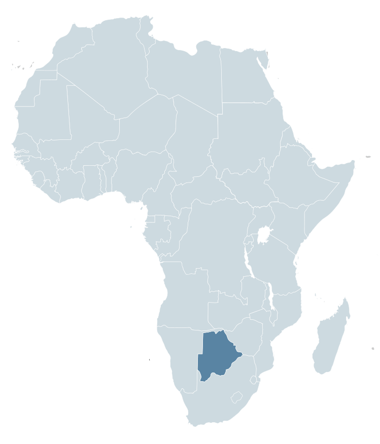
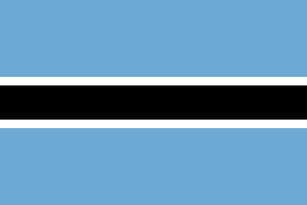
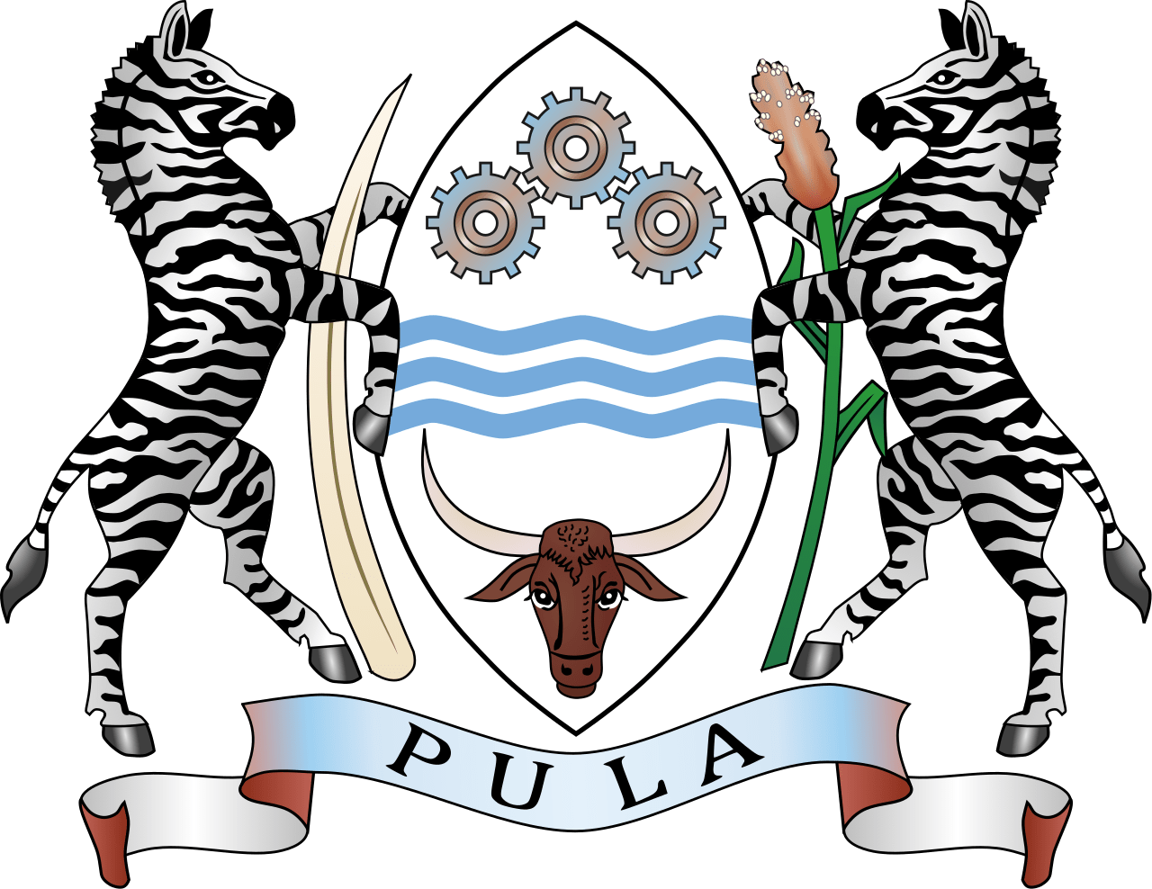
The name Botswana refers to ‘Land of the Tswana’. The landlocked, Southern Africa country is officially known as the Republic of Botswana.
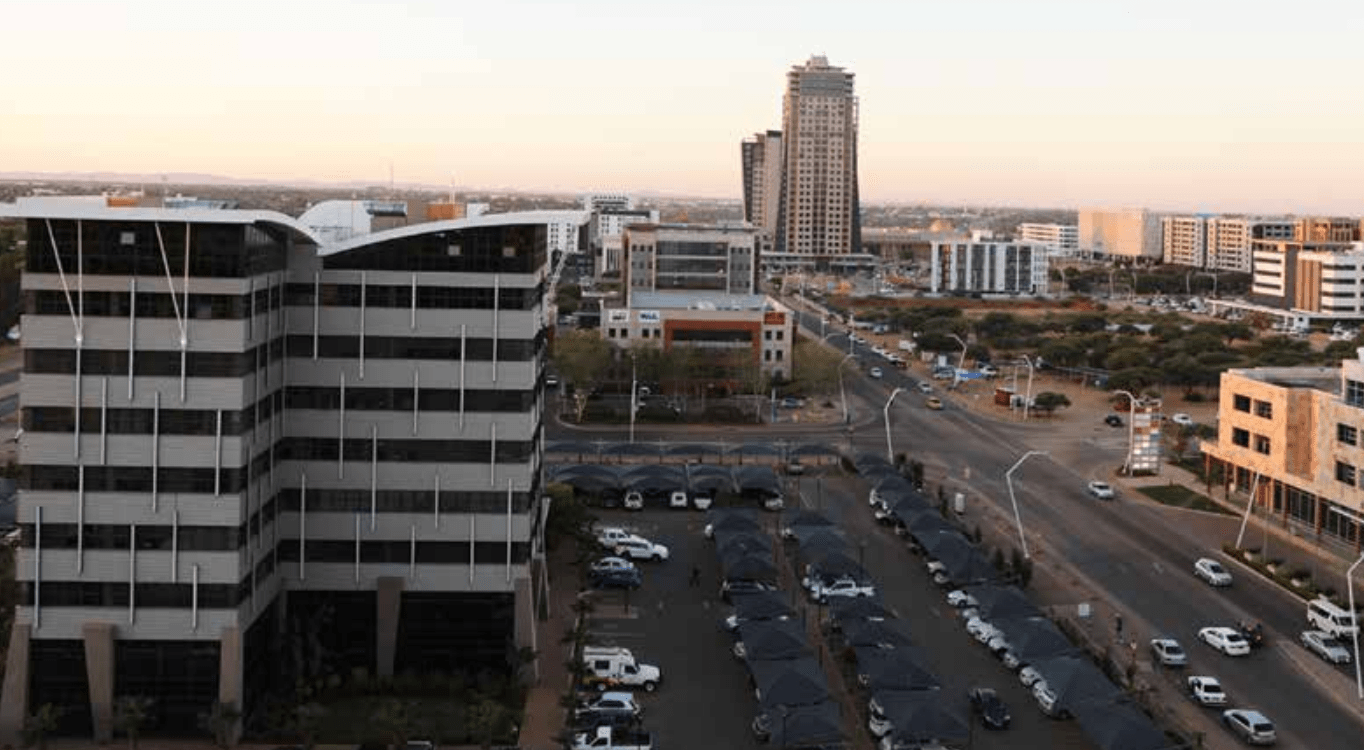
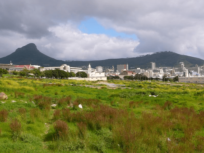
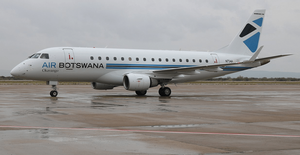
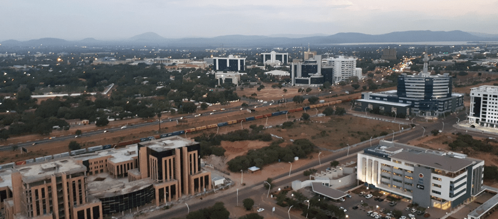

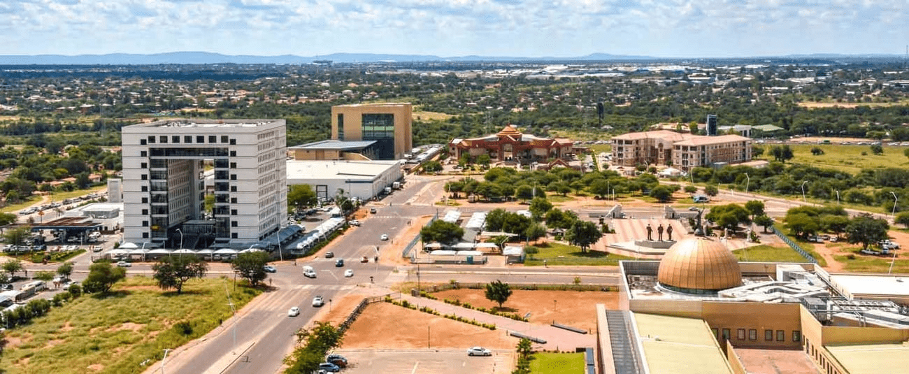
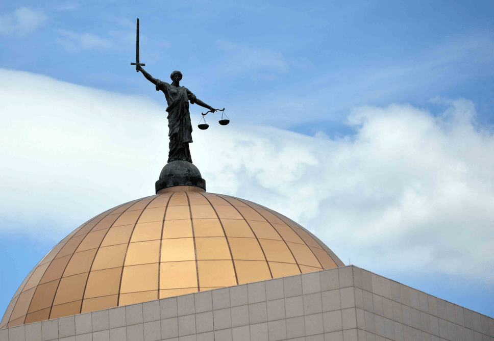
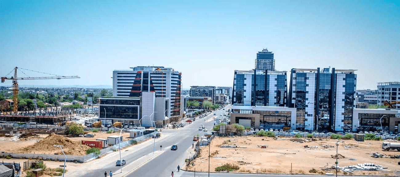
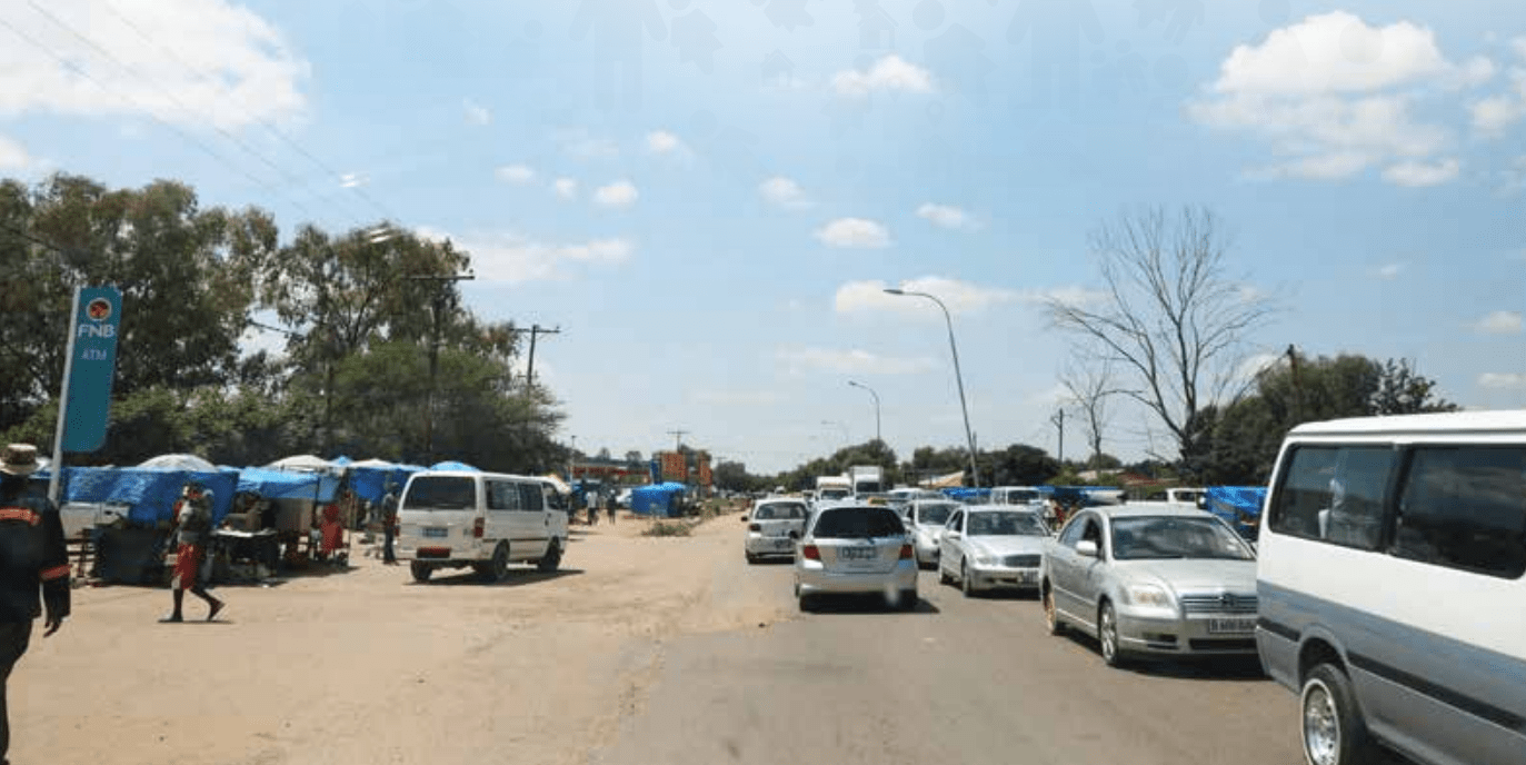
Botswana is connected to Zambia through the Kazungula Bridge making it the world’s shortest border between two countries.
A country of slightly over 2 million people (2021), Botswana is one of the most sparsely populated countries in the world. It is essentially the nation state of the Tswana ethnic group, who make up 79% of the population.
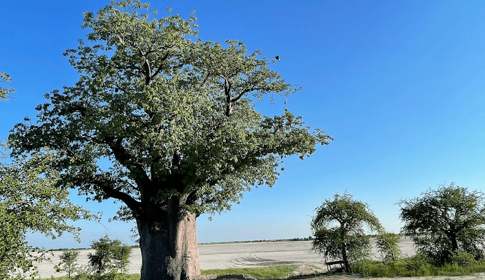
About 11.6 per cent of the population lives in the capital and largest city, Gaborone.
Formerly one of the world’s poorest countries—with a GDP per capita of about US$70 per year in the late 1960s—it has since transformed itself into an upper-middle-income country, with one of the world’s fastest-growing economies.
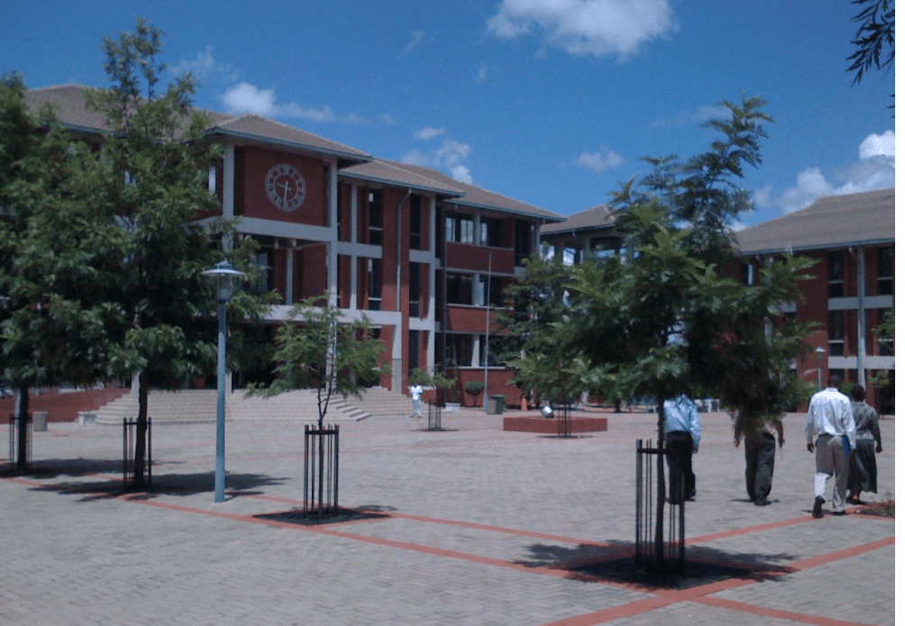
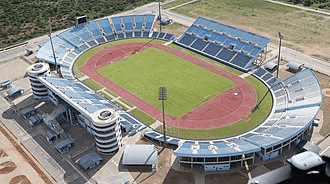
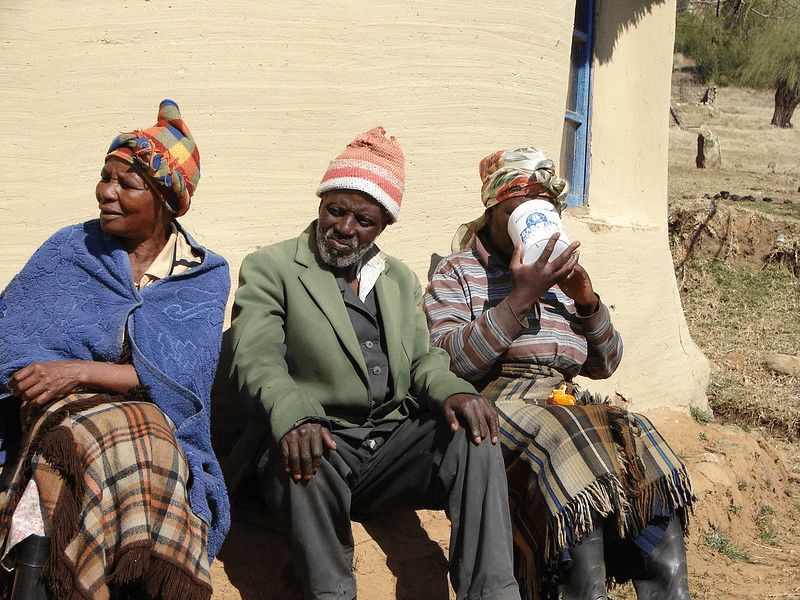
The Tswana ethnic group were descended mainly from Bantu-speaking tribes who migrated southward of Africa to modern Botswana, living in tribal enclaves as farmers and herders.
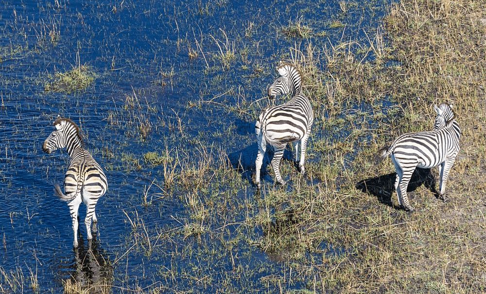
In 1885, the British colonised the area and declared a protectorate under the name of Bechuanaland.
As colonisation stopped, Bechuanaland became an independent republic under its current name on 30 September 1966.
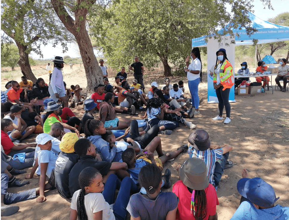
Since then, it has been a representative republic, with a consistent record of uninterrupted democratic elections and the lowest perceived corruption ranking in Africa since at least 1998.
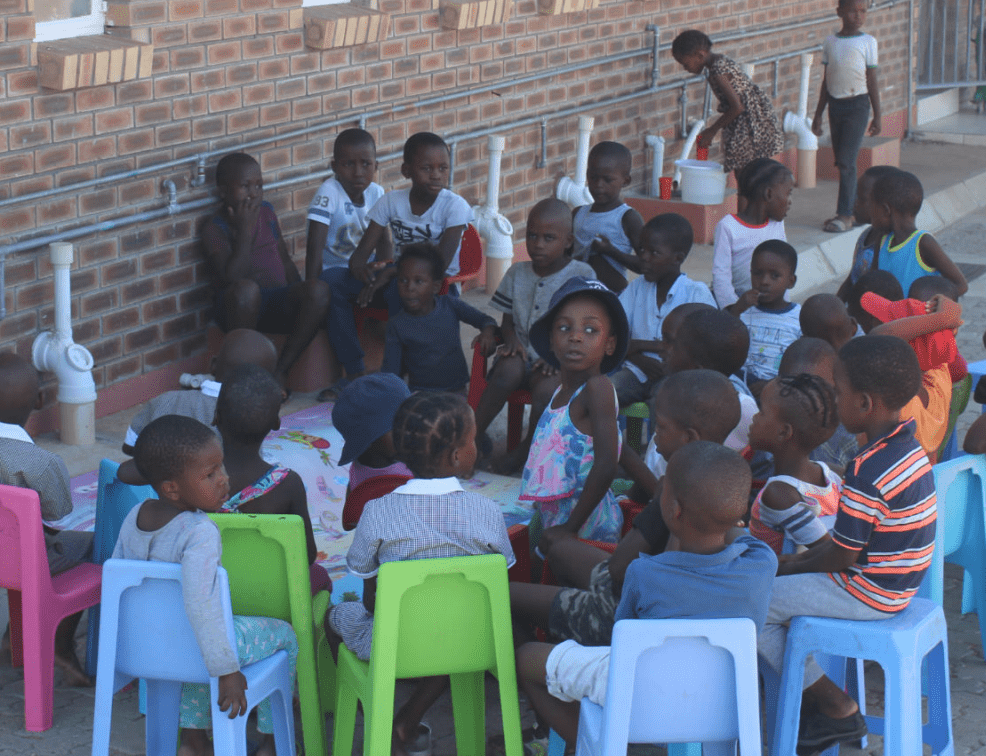
The economy is dominated by mining and tourism. Botswana has a GDP (purchasing power parity) per capita of about $18,113 as of 2021, one of the highest in subsaharan Africa.
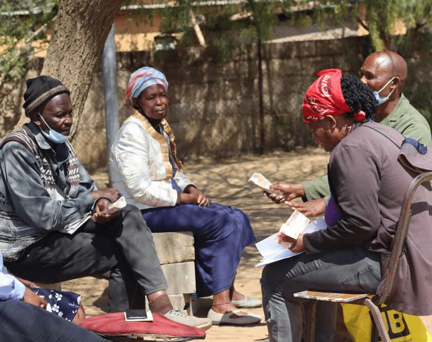
Botswana is the world’s biggest diamond producing country.
Its relatively high gross national income per capita gives the country a high standard of living and the third-highest Human Development Index of continental Sub-Saharan Africa (after Gabon and South Africa).
The country has been adversely affected by the HIV/AIDS epidemic. In 2002, Botswana began offering anti-retroviral drugs (ARVs) to help combat the epidemic.
Botswana is a member of the Southern African Customs Union, the Southern African Development Community, the Commonwealth of Nations, and the United Nations.

