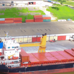
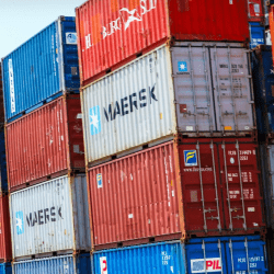
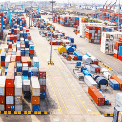
Port Harcourt is the capital of Rivers State, Nigeria and largest city in the state.
It is also the fourth most populous city in Nigeria after Lagos, Kano, and Ibadan.
Founded
1912
Port Harcourt was founded in 1912 by Frederick Lugard, governor of Nigeria.
Purpose
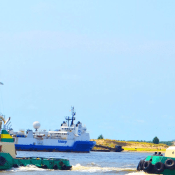
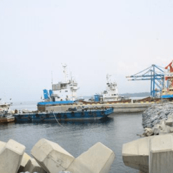
The colonial administration of Nigeria created the port to export coal from the collieries of Enugu located 243 kilometres (151 mi) north of Port Harcourt, to which it was linked by a railway.
Name
The port was built in 1912, but not given a name until August 1913, when the then Governor of Nigeria, Sir Frederick Lugard, named it “Port Harcourt” in honor of Lewis Harcourt, then the Secretary of State for the Colonies.
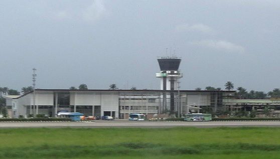
Discovery of crude oil
After the discovery of crude oil in Nigeria at Oloibiri in 1956, Port Harcourt exported the first shipload in 1958.
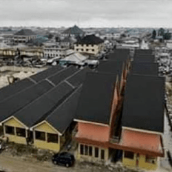
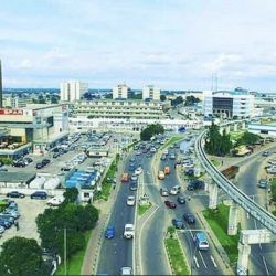
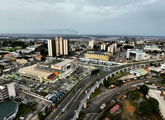
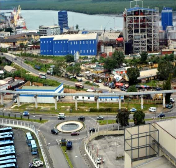
Through the benefits of the Nigerian petroleum industry, Port Harcourt was further developed, with aspects of modernization such as overpasses, city blocks, and taller and more substantial buildings..
Port Harcourt became the center of the Nigerian oil economy and it subsequently reaped benefits of its associations with the petroleum industry by undergoing modernization and urbanization.
Nigeria’s first oil refinery (1965) is at Alesa-Eleme, 12 miles (19 km) southeast of Port Harcourt.
Composition
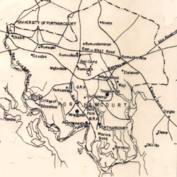
The urban area (Port Harcourt metropolis) is made up of the local government area itself and parts of Obio-Akpor and Eleme.
The Greater Port Harcourt region, spans eight local government areas that include Port Harcourt, Okrika, Obio-Akpor, Ikwerre, Oyigbo, Ogu–Bolo, Etche and Eleme.
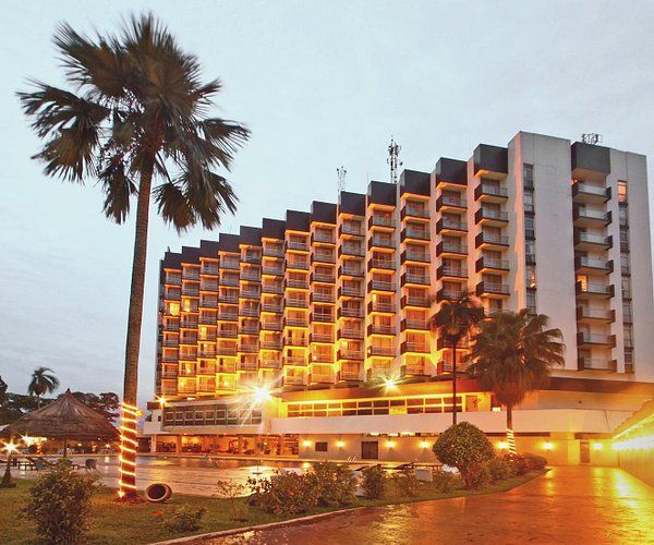
Some of Port Harcourt’s more popular and well-known residential areas are known as Port Harcourt Township (or just “Town”), GRA (Government Reserved Area) phases 1–5, Elekahia, Rumuomasi, D-line, Elelenwo, Eliozu, Iboloji, Ogbunabali, Rumuola, Rumigbo, Mgbuoba, Diobu, Woji, Amadi Flats, Umuchitta, Rumuokoro and Borikiri.
The main industrial area is located in Trans Amadi, Abuloma.
Location
Port Harcourt lies along the Bonny River and is located in the Niger Delta.
Boundaries
It is bounded by the states of Anambra and Imo on the north, Abia and Akwa Ibom on the east, and Bayelsa and Delta on the west
Rivers state is located in southern Nigeria, comprising the Niger River delta on the Gulf of Guinea.
People
Port Harcourt was traditionally inhabited by Ijaw, Ikwerre, and Ogoni peoples, with a significant Igbo presence.
Historically Port Harcourt has been known as Obomuotu within which other smaller areas were called Diobu or Igweochaapeople
The area that became Port Harcourt in 1912 was before that of a farmland of people of Rebisi (Ikwerre).
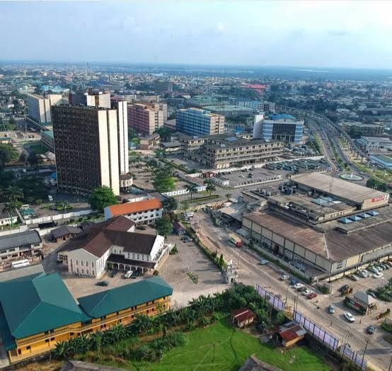
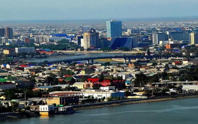
The colonial government caused the people of Diobu to cede their land, and in 1912 the building of a port-town was started.
Other villages that were later absorbed into the city included Oroworukwo, Nkpogu, and Rumuomasi.
In the creeks to the south of the original port were the fishing camps and grounds of the Okrika-Ijaw group.
Tertiary institutions of learning
There are a number of public and private tertiary institutions in Port Harcourt.
These include Rivers State University, University of Port Harcourt, Ken Saro Wiwa Polytechnic, Captain Elechi Amadi Polytechnic, Ignatius Ajuru University, Rivers State College of Health Science and Technology, Madonna University, PAMO University of Medical Sciences, New Open University of Nigeria.
Airports
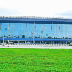
Port Harcourt’s primary airport is Port Harcourt International Airport, located on the outskirts of the city; the NAF base is the location of the only other airport and is used by commercial airlines for domestic flights.
Growth
Besides seaport and crude oil, Port Harcourt’s growth is further due to its position as the commercial center and foremost industrial city of the former Eastern Region; its position in the Niger Delta; and its importance as the center of social and economic life in Rivers State.
