Cape Verde, officially called Republic of Cabo Verde, is an island country of West Africa.
Capital: Praia
Population (2023): 593,000
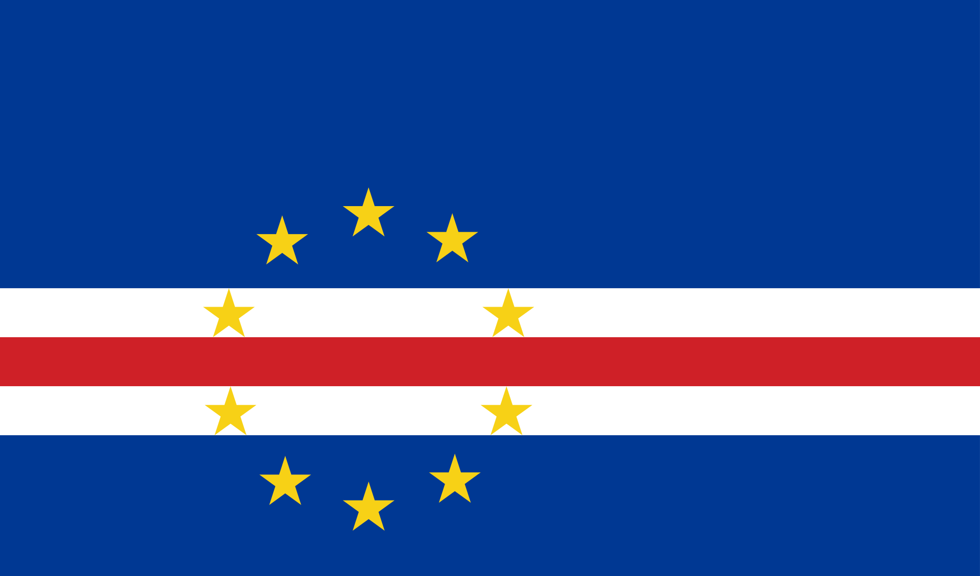
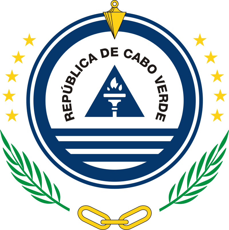
Cape Verde’s official language is Portuguese.
The recognized national language is Cape Verdean Creole, which is spoken by the vast majority of the population.
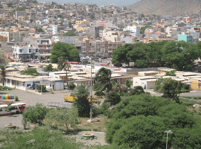
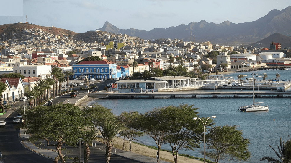
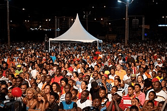

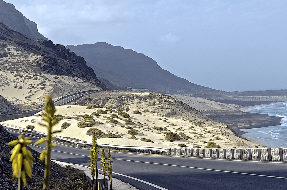
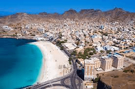
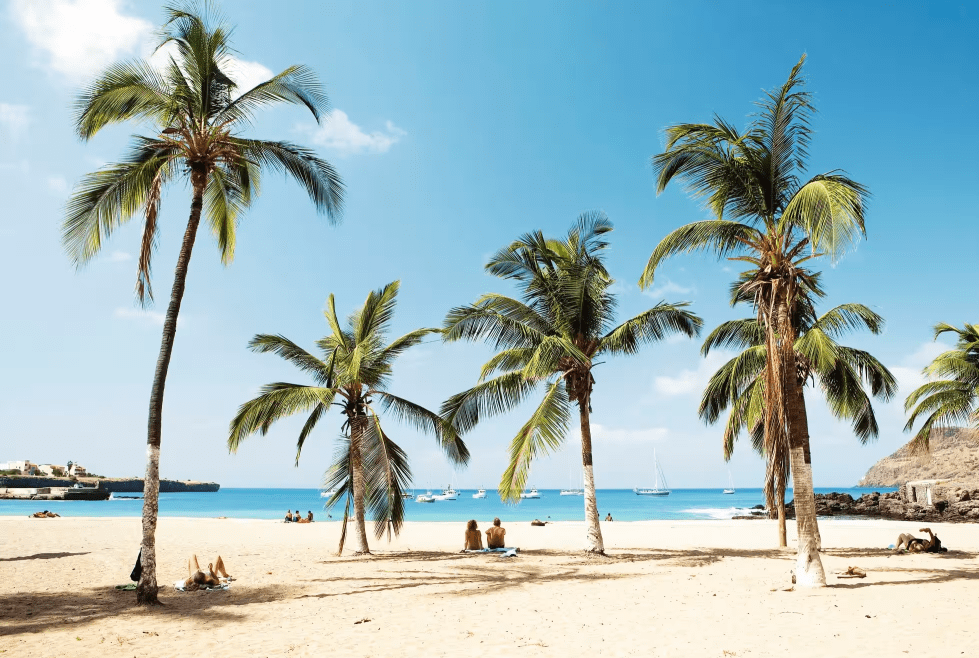
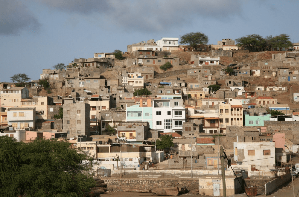
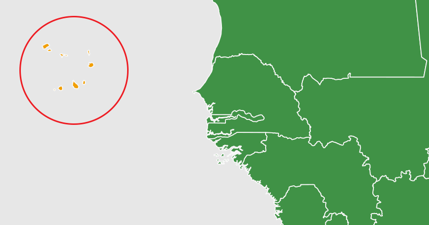
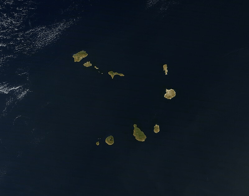
It is located in the central Atlantic Ocean, consisting of ten volcanic islands with a combined land area of about 4,033 square kilometres (1,557 sq mi).
Since the early 1990s, Cape Verde has been a stable representative democracy and has remained one of the most developed and democratic countries in Africa.
The small island country of Cape Verde, Africa’s third and fifth smallest by population and territorial size.
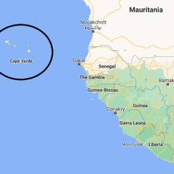
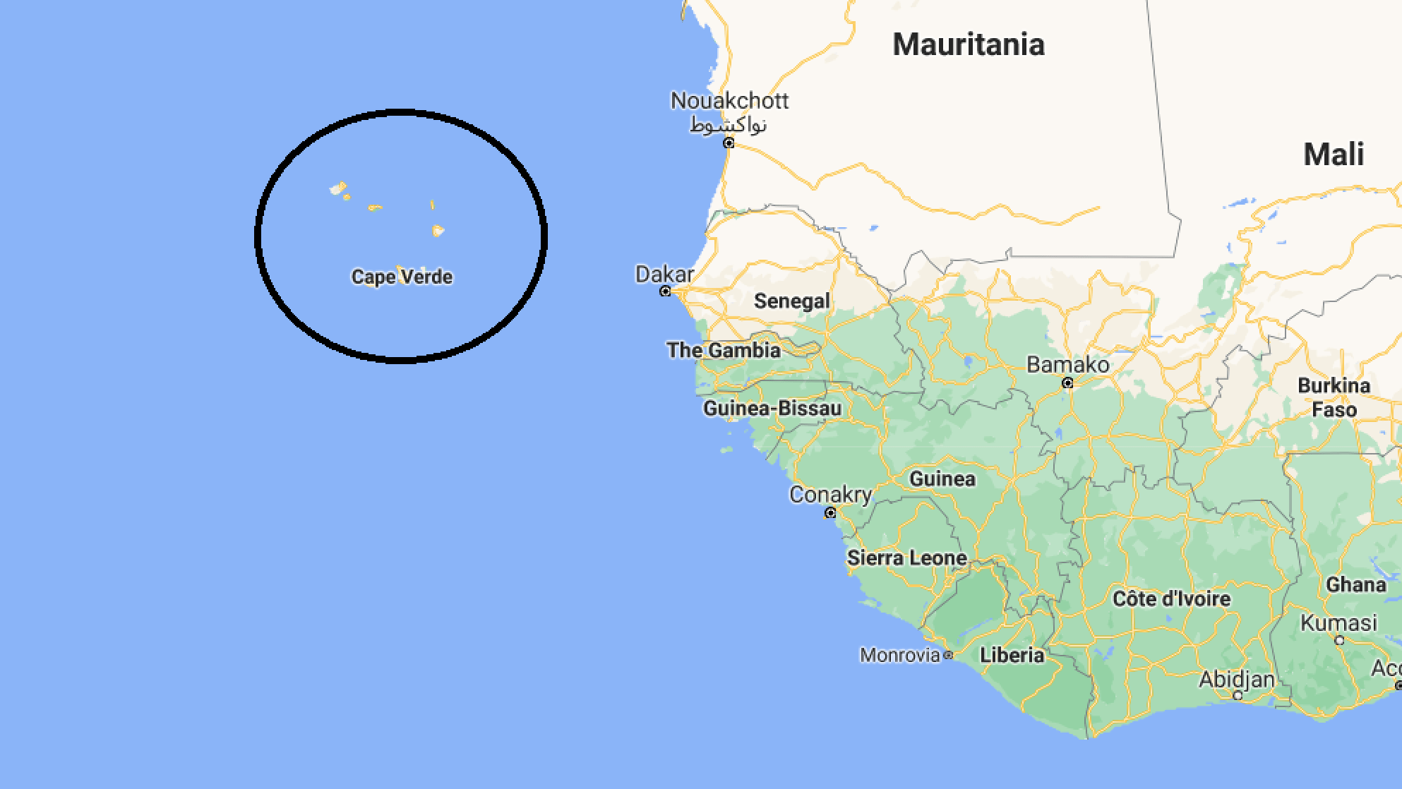
Cape Verde is made up of 10 islands and eight islets, located some 450 km west of Senegal, approximately 2890 km from Portugal and 2600 kilometers from Natal, Brazil.
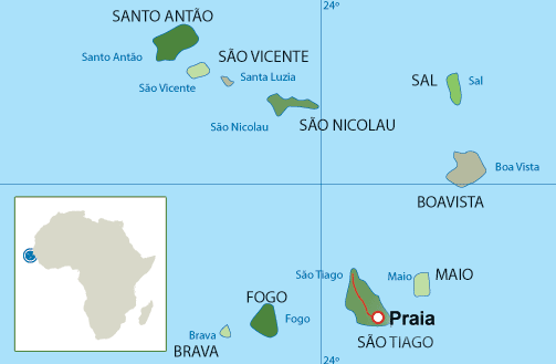
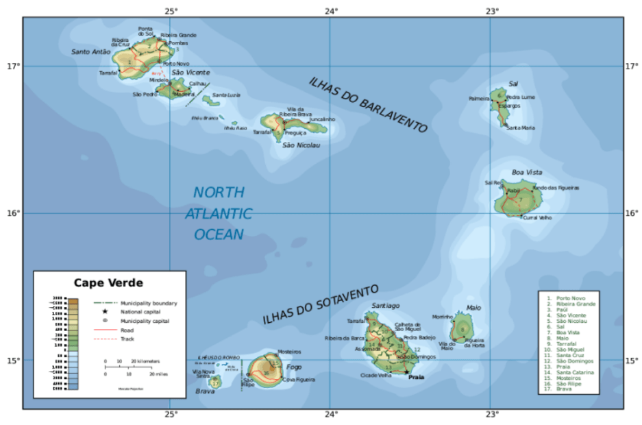
The 10 islands of Cape Verde
- Santo Antão
- São Vicente
- Santa Luzia
- São Nicolau
- Sal
- Boa Vista
- Maio
- Santiago
- Fogo
- Brava
Barlavento Islands
- Santo Antão
- São Vicente
- Santa Luzia
- São Nicolau
- Sal
- Boa Vista
Sotavento Islands
7. Maio
8. Santiago
9. Fogo
10. Brava
It has a land area of 4,033 square kilometers, and a 700,000 square kilometers Economic Exclusivity Zone (EEZ) .
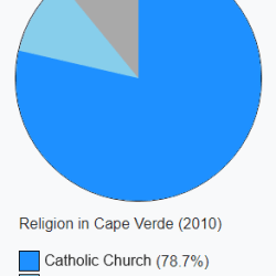
Its population of around 483,628 (as of the 2021 Census) is of mostly African and a minor European heritage, and predominantly Roman Catholic, reflecting the legacy of Portuguese rule.
The island of Santiago has the largest population concentration, with a total of 55.7% and the city of Praia, the capital, is the most populated city with 25.6% of the population . The second largest city is Mindelo, on Sao Vicente island, which is also the principal port.
As of the 2021 census the most populated islands were Santiago, where the capital Praia is located (269,370), São Vicente (74,016), Santo Antão (36,632), Fogo (33,519) and Sal (33,347).
The largest cities are Praia (137,868), Mindelo (69,013), Espargos (24,500) and Assomada (21,297).]
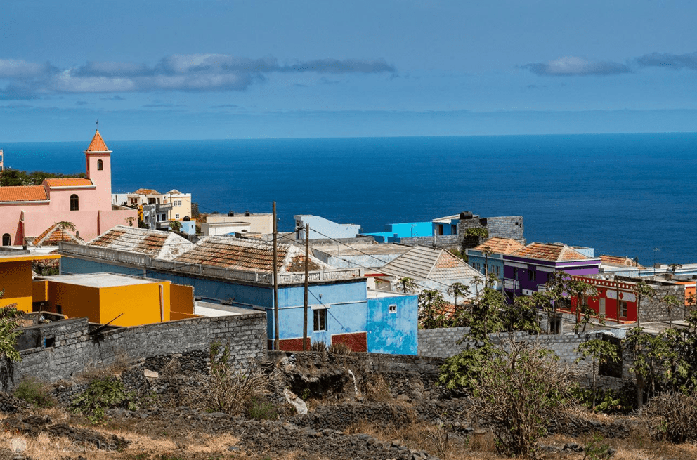
These islands lie between 600 and 850 kilometres (320 and 460 nautical miles) west of Cap-Vert, the westernmost point of continental Africa.
Cape Verde is divided into 22 municipalities (concelhos) and subdivided into 32 parishes (freguesias), based on the religious parishes that existed during the colonial period:
| Barlavento Islands | ||||
| Island | Municipality | Census 2010 | Census 2021 | Parish |
| Santo Antão | Ribeira Grande | 18,890 | 15,022 | Nossa Senhora do Rosário |
| Nossa Senhora do Livramento | ||||
| Santo Crucifixo | ||||
| São Pedro Apóstolo | ||||
| Paúl | 6,997 | 5,696 | Santo António das Pombas | |
| Porto Novo | 18,028 | 15,014 | São João Baptista | |
| Santo André | ||||
| São Vicente | São Vicente | 76,107 | 74,016 | Nossa Senhora da Luz |
| Santa Luzia | ||||
| São Nicolau | Ribeira Brava | 7,580 | 6,978 | Nossa Senhora da Lapa |
| Nossa Senhora do Rosário | ||||
| Tarrafal de São Nicolau | 5,237 | 5,261 | São Francisco | |
| Sal | Sal | 25,765 | 33,347 | Nossa Senhora das Dores |
| Boa Vista | Boa Vista | 9,162 | 12,613 | Santa Isabel |
| São João Baptista | ||||
| Sotavento Islands | ||||
| Island | Municipality | Census 2010 | Census 2021 | Parish |
| Maio | Maio | 6,952 | 6,298 | Nossa Senhora da Luz |
| Santiago | Praia | 131,602 | 142,009 | Nossa Senhora da Graça |
| São Domingos | 13,808 | 13,958 | Nossa Senhora da Luz | |
| São Nicolau Tolentino | ||||
| Santa Catarina | 43,297 | 37,472 | Santa Catarina | |
| São Salvador do Mundo | 8,677 | 7,452 | São Salvador do Mundo | |
| Santa Cruz | 26,609 | 25,004 | Santiago Maior | |
| São Lourenço dos Órgãos | 7,388 | 6,317 | São Lourenço dos Órgãos | |
| Ribeira Grande de Santiago | 8,325 | 7,632 | Santíssimo Nome de Jesus | |
| São João Baptista | ||||
| São Miguel | 15,648 | 12,906 | São Miguel Arcanjo | |
| Tarrafal | 18,565 | 16,620 | Santo Amaro Abade | |
| Fogo | São Filipe | 22,228 | 20,732 | São Lourenço |
| Nossa Senhora da Conceição | ||||
| Santa Catarina do Fogo | 5,299 | 4,725 | Santa Catarina do Fogo | |
| Mosteiros | 9,524 | 8,062 | Nossa Senhora da Ajuda | |
| Brava | Brava | 5,995 | 5,594 | São João Baptista |
| Nossa Senhora do Monte | ||||
One of Cape Verde’s most salient characteristics is the geographical fragmentation of islands with small populations spread over a relatively wide area.
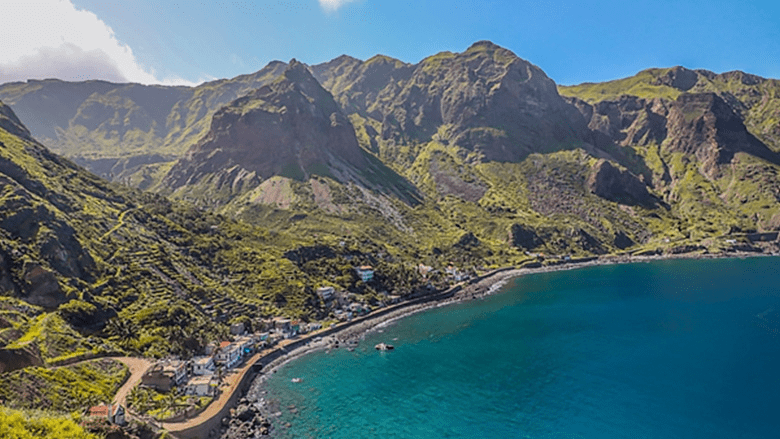
The distance between the capital Praia in Santiago and the second most important town, Mindelo, (with an estimated population of 76,140) is about 200 km. The same distance separates Praia from the main airport at Sal. All but three of the islands are quite mountainous, with prominent cliffs and deep ravines. High ground and southwestern slopes support lush vegetation because of moisture condensation. The other salient characteristic is Cape Verde’s location in the Sahel climate system, subject to periodic droughts and very low annual precipitation. With global climate change, drier and hotter weather patterns are forecasted. Like many other small island states, Cape Verde also suffers from severe environmental degradation, such as soil erosion and low fertility, deforestation, and dearth of fresh ground water.
Cape Verde does not have a unified domestic market, which adds to its costs of insularity. As an example, supplying the main tourist island of Sal—which has almost no agriculture or industry—is often easier and cheaper from the Canaries or Lisbon (by air) than from other islands, which may have an agricultural or fish surplus. Similarly, whereas a large percentage of the population of the island of Fogo has relatives in the United States who frequently come to visit, the residents of Fogo may have little contact with those of Santo Antao or Maio. Such economic and spatial differences also account for the existence of two Chambers of Commerce—for the windward or Barlavento and leeward or Sotavento group of islands, respectively.
Cape Verde started down the post-independence road of development with virtually nothing. At independence in 1975, Cape Verde was faced with huge challenges. Infrastructure was limited, and educational opportunities were scarce. There were two high schools in the country and only one hotel with 12 rooms in the capital city. Complicating the situation, the country had no money in the treasury at independence. It was due to personal relationships with the Government in Portugal at the time that Cape Verde was able to secure a line of credit of US$300,000. That was the total financial resource base that the Cape Verdean government had to begin the journey of nation building.
The land is mostly bare and organically poor, with only an estimated 10% of its area suitable for agriculture. The rocky terrain and lack of rainfall hamper agricultural production. Hence, over the years a large proportion of Cape Verdeans emigrated in search of opportunity and a better quality of life. It is estimated that currently the number of Cape Verdean emigrants, mainly in the USA, Portugal, Angola, France, Netherlands, and Senegal exceeds the country’s population, and the country’s economy remains dependent upon remittances from this Diaspora.
Historically oriented toward the world economy, and deeply enmeshed in global commerce since the slave trade, Cape Verde’s export-oriented but small primary sector products of the past (mainly fish, bananas, and coffee) have long lost their importance, or disappeared. Domestic production of food has been structurally far below the national needs; and manufacturing has never been a significant sector.
The Cape Verde islands form part of the Macaronesia ecoregion, along with the Azores, the Canary Islands, Madeira, and the Savage Isles.
The Cape Verde archipelago was uninhabited until the 15th century, when Portuguese explorers discovered the islands and established the first European settlement in the tropics.
Because the Cape Verde islands were conveniently located to play a role in the Atlantic slave trade, Cape Verde became economically prosperous during the 16th and 17th centuries, attracting merchants, privateers, and pirates.
It declined economically in the 19th century after the suppression of the Atlantic slave trade, and many of its inhabitants emigrated during that period.
However, Cape Verde gradually recovered economically by becoming an important commercial center and useful stopover point along major shipping routes. Cape Verde became independent in 1975.
Lacking natural resources, its developing economy is mostly service-oriented, with a growing focus on tourism and foreign investment.
A sizeable Cape Verdean diaspora community exists across the world, especially in the United States and Portugal, considerably outnumbering the inhabitants on the islands.
Cape Verde is one of the Small Island Developing States (SIDS), characterized by isolation, vulnerability to natural disasters, scarce soil and subsoil resources, recurrence of drought, fairly small market size and a huge opening to the outside world. Another peculiarity of Cape Verde is its marked territorial discontinuity. Despite these natural constraints, Cape Verde is a noteworthy economic, social and political success story
Cape Verde is a development success story in Africa as exemplified by this report which looks at the road that Cape Verde has traveled since independence.
In less than two decades Cape Verde transformed itself from one of the poorest countries in the world, declared “unviable” after independence in 1975 by the then US Secretary of State, and thereafter by some international financial institutions, to one of the fastest growing economies in Africa.
The country achieved the status of a middle-income nation in 2008, and is labeled a “fast achiever” in recognition of the progress it has made towards all or most of the Millennium Development Goals.
In doing so, it has overcome severe geographic, economic, and social challenges to become a success story.
Cape Verde is a member state of the African Union.
Reference: afdb.org/fileadmin/uploads/afdb/Documents/Project-and-Operations/Cape%20Verde%20-%20A%20Success%20Story.pdf
