The Republic of Ghana is named after the medieval Ghana Empire of West Africa.
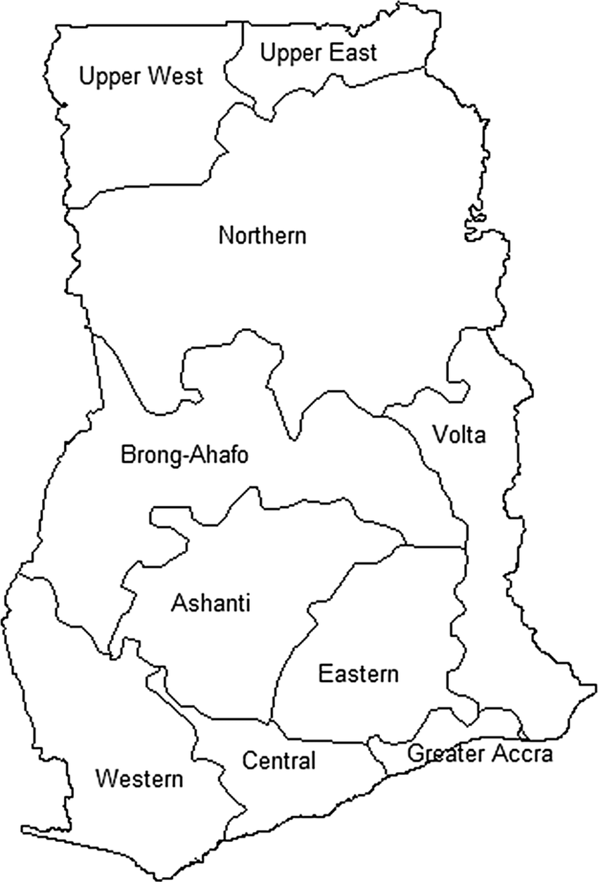
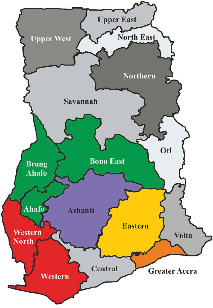
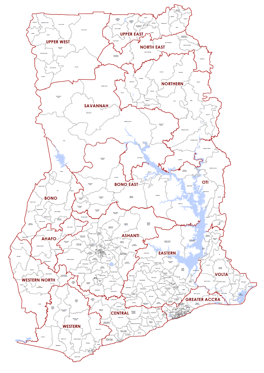
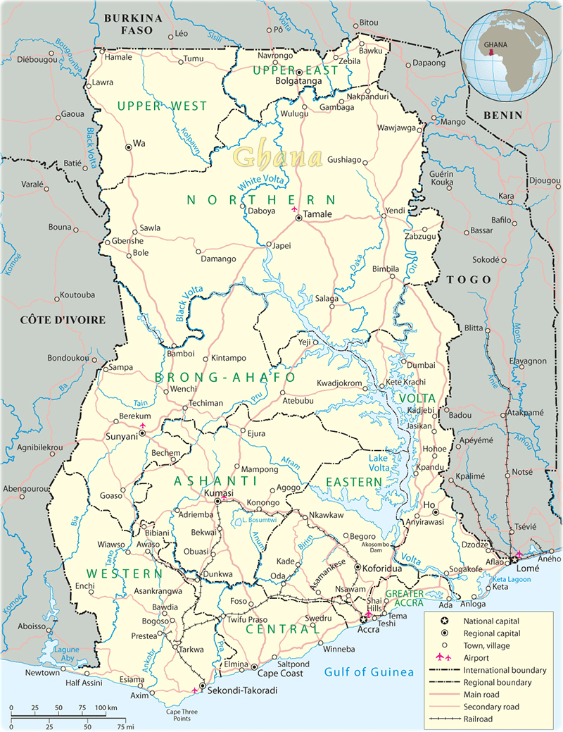
Map of Ghana showing country’s regionsAdministrative map of Ghana
The actual name of the Empire was Wagadugu.
Ghana was the title of the kings who ruled the kingdom.
It was controlled by Sundiata in 1240 AD, and absorbed into the larger Mali Empire. (Mali Empire reached its peak of success under Mansa Musa around 1307.)
Geographically, the old Ghana is 500 miles north of the present Ghana, and occupied the area between Rivers Senegal and Niger.
Some inhabitants of present Ghana had ancestors linked with the medieval Ghana.
More
Ngor Okpala maps Map of Imo showing Ngor Okpala Map of Ngor Okpala showing major areas Ngor Okpala is a local government area…
Rivers State maps Rivers State map showing major areas Rivers State map showing areas Rivers State map showing the 3 senatorial districts, indicated…
Maps of Ethiopia regions Map of Ethiopia showing the Regions Maps of Ethiopia Regions Addis Ababa … Afar Region Map of Afar Region Map…
Port Harcourt maps Map of Port Harcourt showing areas Map of Port Harcourt showing major areas Port Harcourt is the capital of Rivers…
Maps of Owerri Map of Owerri showing areas and the 3 LGAs that comprise the city Map of Owerri municipal Owerri is the…
Iron smelting in Ghana The Dagombas, Gonjas, Mamprussis and Moshies, all off whom occupy the northern part of modern Ghana, were prominent northern tribes…
IGPs of Ghana Police Service Records show that Policing started in the year 1831 in the then Gold Coast. Prior to that, maintenance of law…
Entry points in Ghana There several approved places of entry in Ghana. There exist forty-eight (48) approved points of entry. There are also unapproved…
PLACES OF ENTRY TO GHANA While there are many informal points of crossing along Ghana’s border, there are 48 recognized customs entry posts. ELUBO WESTERN…