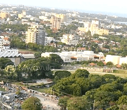
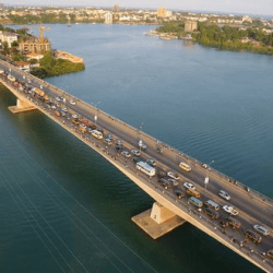
Mombasa is a county and a city in southeastern Kenya.
The city serves as the capital of Mombasa County.
Total area – 229.9km2
Water mass – 65km2
Gazetted forests (mangrove) – 3000 hectares
Lowest altitude – 45m
Highest altitude – 132m
Temperature range – 22.7 to 33.1oC
Annual mean temperature – 27.9oC
Average relative humidity – 65(percent)
Average annual rainfall – 640mm
Total population – 1,300,000 (2015 estimate)
Administrative Areas
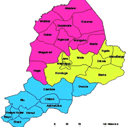
Mombasa, a county in Kenya, is divided into six sub-counties.
Mombasa sub-counties are Mvita , Jomvu , Changamwe, Kisauni, Nyali and Likoni
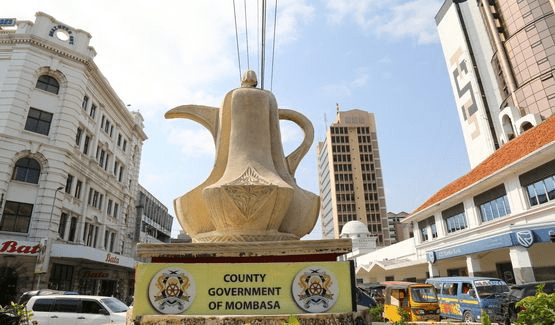
The six sub-counties: Mvita , Jomvu , Changamwe, Kisauni, Nyali and Likoni are headed by an Elected Member of Parliament each and further divided into thirty wards that are each headed by Elected Members of the County Assembly also known as Ward Representatives.
Mombasa Electoral Wards by Constituency
| Constituency | No. of electoral wards | Names of Electoral Wards |
| Changamwe | 5 | Port Reitz, Kipevu, Airport, Miritini, Chaani |
| Jomvu | 3 | Jomvu Kuu, Magongo, Mikindini |
| Kisauni | 7 | Mjambere, Junda, Bamburi, Mwakirunge, Mtopanga, Magogoni, Shanzu |
| Nyali | 5 | Frere Town, Ziwa la Ng’ombe, Mkomani, Kongowea, Kadzandani |
| Likoni | 5 | Mtongwe, Shika Adabu, Bofu, Likoni, Timbwani |
| Mvita | 5 | Mji Wa Kale/Makadara, Tudor, Tononoka, Shimanzi/Ganjoni, Majengo |
| Total | 30 |
Reference: County Government of Mombasa
