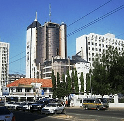
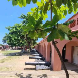
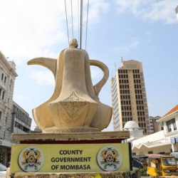
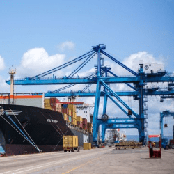
Mombasa is a coastal city in southeastern Kenya along the Indian Ocean.
It was the first capital of British East Africa, before Nairobi was elevated to capital city status in 1907.
It now serves as the capital of Mombasa County.
Total area – 229.9km2
Water mass – 65km2
Gazetted forests (mangrove) – 3000 hectares
Lowest altitude – 45m
Highest altitude – 132m
Temperature range – 22.7 to 33.1oC
Annual mean temperature – 27.9oC
Average relative humidity – 65(percent)
Average annual rainfall – 640mm
Total population – 1,300,000 (2015 estimate)
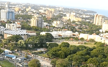
Mombasa has a history dating back to more than 2000 years when the Persians, Arabs, Greeks and Romans visited the East African Coast and carried out trade between the Coast and the Mediterranean Lands

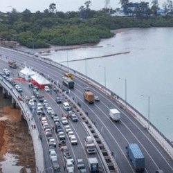
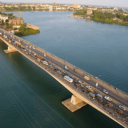
Mombasa Kenya is built on what was formerly an Island separated from the mainland by a narrow channel until a causeway was built at the beginning of this century connecting the Island with the Western mainland.
On 15 June 1895, the British government officially declared all areas held by the Imperial British East Africa Company, including the Sultan’s Coastal ten-mile strip (of the Kenya coast) a British Protectorate.
In the same year the British decided to open up the hinterland by building a railway line from Mombasa to Lake Victoria.
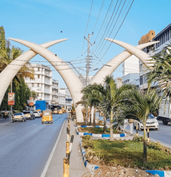
Thus the trading centre called Mvita started life. In 1914, the traders formed a council to manage their affairs. Hence, 1914 is considered officially as the year when Mombasa was founded.
Mombasa’s development tempo continued. Missionaries built churches and Indians and Muslims established temples, Mosques and bazaars.
After independence in 1963, the up-country African communities brought with them a rich wealth of business experience which expanded the town as a commercial and tourism nerve centre at the Coast
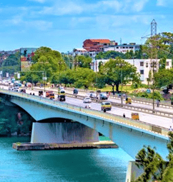
It is the country’s oldest (c. 900 A.D.) and second-largest city after Nairobi, with a population of about 1,208,333 people according to the 2019 census.
Its metropolitan region has a population of 3,528,940 people.
Mombasa’s location on the Indian Ocean made it a historical trading centre.
Mombasa has been controlled by many countries because of its strategic location.

Location and Size
Mombasa County is located in the South Eastern part of Kenya’s Coastal region. It covers an area of 229.9 square kilometers (km2) with a water mass of 65 square kilometers
Mombasa covers an area of 229.9 square kilometers (km2) excluding 65(km2) of water mass which is 200 nautical miles inside the Indian Ocean
Mombasa borders Kilifi County to the North, Kwale County to the South West and the Indian Ocean to the East. The county lies between latitudes 30 degrees 80’ to the East and4 degrees 10’ South of the Equator and between longitudes 39 degrees 60’ and 39 degrees 80’ East of Greenwich Meridian.
The County also enjoys proximity to a very expansive water mass, as it borders the exclusive ecological zone of the Indian Ocean to the East
Climate
The County lies within the coastal strip in the hot tropical region where the climate is influenced by monsoon winds.
Rainfall
The rainfall pattern is characterized by two distinct long and short rain seasons corresponding to changes in the monsoon winds. The long rains occur in April – June with an average 1,040mm and correspond to the South Eastern monsoon winds. The short rains start towards the end of October lasting until December and correspond to the comparatively dry North Eastern monsoons, averaging 240mm. The annual average rainfall for the county is 640mm
Temperature
The annual mean temperature in the County is 27.9 degrees Celsius with a minimum of 22.7 degrees Celsius and a maximum of 33.1 degrees Celsius. The hottest month is February with a maximum average of 33.1 degrees Celsius while the lowest temperature is in July with a minimum average of 22.7 degrees Celsius. Average humidity at noon is about 65 percent
