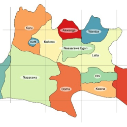
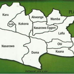
The general topography of Nasarawa State is that of hills/ dissected terrain, undulating plains and lowlands. A look at the state from the south to the north shows that the southern local government areas of Awe, Doma, Nasarawa and Toto are bounded by the river Benue in the south. Its valley and troughs extend inland for some 30 kilometers and it is made up of flood plains lying generally below 250 metres. The flood plains further protrude inland along the coast of rivers Dep, Mada, Guma, Ayini and Farin Ruwa which are the major rivers draining into the river Benue. The area consists of very fertile alluvial soil deposited by the seasonal flood of river Benue.
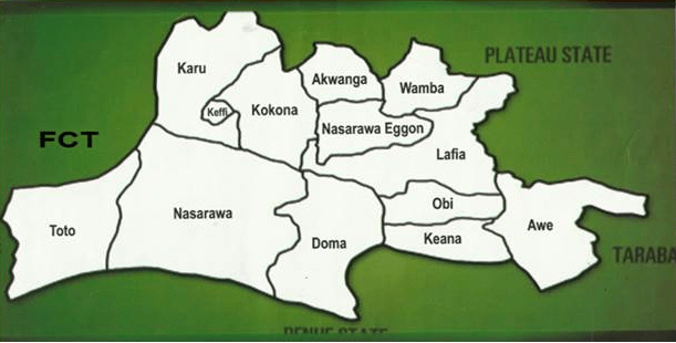
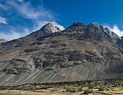
The hydromorphic soil provides a generally level plain, except where it is broken by the folded features of Awe to the south east and those of Toto to the south west. The flood plains cover some 25 per cent of the state landmass. The flood plains give way to a rolling topography which is quite extensive and it covers about 52 per cent of Nasarawa State. The undulating plain has a general altitude of about 400 meters above sea level with notable inselberg occurrences. The soils in this region are those of sandstones derived from old sedimentary rocks with extensive occurrences of lateritic crust. Hills and dissected terrains occupy a sizeable portion of Nasarawa state and are scattered all over the land mass with height range of between 600 – 1200 meters. The northern part of the state has a greater concentration with the Monkwa hills in the northeast and the Mada rolling hills stretching from Wamba through Akwanga down to Nasarawa Eggon local government areas. The Rafin gabas hills are a prominent feature in Kokona L.G.A., while the north western borders of the state are flanked by hill ranges. In the southern part of the state, high relief features also occurs in Toto and Awe local government areas. Soils at the foot of these hills are mostly volcanic in nature and therefore loamy and rich, while the higher grounds are characterised by thin soil.
The physical features of the State are partly mountainous, some of which are rocky and of undulating highlands to average height of about 1,400m above sea level.
Areas such as Nasarawa, Nassarawa Eggon, Wamba, Keffi and Akwanga are generally hilly and rocky, while areas such as Lafia, Doma, Awe and Keana are fairly of plain terrains. The river Benue has its tributaries covering other parts of the State.
Reference: nasarawastate.gov.ng/about-nasarawa-state
