Kano State has Kano City as the capital. The northern Nigeria state has 44 LGAs (Local Government Areas). The distance of each of the LGAs to the capital is as follows:
Distance of LGAs from Kano City
| LGA | DISTANCE (KM) | TRAVEL TIME (Travel by land) |
| Ajingi | 75 | 1hr 30 mins |
| Albasu | 115 | 1hr 45 mins |
| Bagwai | 60 | 1hr |
| Bebeji | 95 | 1hr 30 mins |
| Bichi | 56 | 45 mins |
| Bunkure | 40 | 39min |
| Dala | Metro | 15mins |
| Dambatta | 60 | 1 hr |
| Dawakin Kudu | 26 | 30min |
| Dawakin Tofa | 40 | 30mins |
| Doguwa | 190 | 3hrs |
| Fagge | Metro | 10mins |
| Gabasawa | 65 | 1hr |
| Garko | 80 | 1hr 30min |
| Garun Mallam | 50 | 1hr 15mins |
| Gaya | 67 | 1hr 15mins |
| Gezawa | 43 | 35mins |
| Gwale | Metro | 20mins |
| Gwarzo | 85 | 1hr 30mins |
| Kabo | 60 | 1hr |
| Kano Municipal | Metro | 20mins |
| Karaye | 130 | 2hrs |
| Kibiya | 82 | 1hr 20mins |
| Kiru | 75 | 1hr 15min |
| Kumbotso | 25 | 45mins |
| Kunchi | 130 | 2hrs |
| Kura | 40 | 1hrs |
| Madobi | 45 | 50mins |
| Makoda | 65 | 1hrs |
| Minjibir | 45 | 50mins |
| Nassarawa | Metro | 20mins |
| Rano | 50 | 1hr |
| Rimin Gado | 45 | 45mins |
| Rogo | 167 | 2hr 30 mins |
| Shanono | 94 | 1hr 45min |
| Sumaila | 88 | 1hr 45mins |
| Takai | 98 | 1hr 55mins |
| Tarauni | Metro | 20mins |
| Tofa | 41 | 30mins |
| Tsanyawa | 90 | 1hr 15mins |
| Tudun Wada | 145 | 1hr 30mins |
| Ungogo | 35 | 30min |
| Warawa | 43 | 45mins |
| Wudil | 50 | 1hr |
Distance between Kano City and Kano State LGAs: From nearer to farthest
The LGAs that are inside Kano city, the ones nearby and the ones far away are as follows:
| LGA | Distance in KM (from Kano city metropolitan area) |
| Dala | Inside metro area |
| Fagge | Inside |
| Gwale | Inside |
| Kano Municipal | Inside |
| Nassarawa | Inside |
| Tarauni | Inside |
| Doguwa | 190 |
| Rogo | 167 |
| Tudun Wada | 145 |
| Karaye | 130 |
| Kunchi | 130 |
| Albasu | 115 |
| Takai | 98 |
| Bebeji | 95 |
| Shanono | 94 |
| Tsanyawa | 90 |
| Sumaila | 88 |
| Gwarzo | 85 |
| Kibiya | 82 |
| Garko | 80 |
| Ajingi | 75 |
| Kiru | 75 |
| Gaya | 67 |
| Gabasawa | 65 |
| Makoda | 65 |
| Bagwai | 60 |
| Dambatta | 60 |
| Kabo | 60 |
| Bichi | 56 |
| Garun Mallam | 50 |
| Rano | 50 |
| Wudil | 50 |
| Madobi | 45 |
| Minjibir | 45 |
| Rimin Gado | 45 |
| Gezawa | 43 |
| Warawa | 43 |
| Tofa | 41 |
| Bunkure | 40 |
| Dawakin Tofa | 40 |
| Kura | 40 |
| Ungogo | 35 |
| Dawakin Kudu | 26 |
| Kumbotso | 25 |
Kano
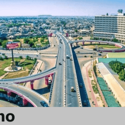
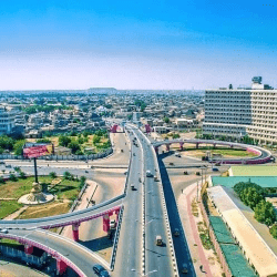
Kano State is located in the northwest geo-political zone of Nigeria. The state capital is Kano city. Six local government areas, namely; Fagge, Gwale, Tarauni, Kano Muncipal, Nassarawa and Dala have virtually joined to form what is called Kano metropolis. The city of Kano is not only the capital but also the commercial nerve centre of the state.
It is the second largest city in Nigeria after Lagos.

Kano was among the 12 states created in May 1967 out of the former Northern Region. It shares boundaries with Katsina, Jigawa, Bauchi and Kaduna State. The state was intact until August 27,1991 when Jigawa State was carved out of it.
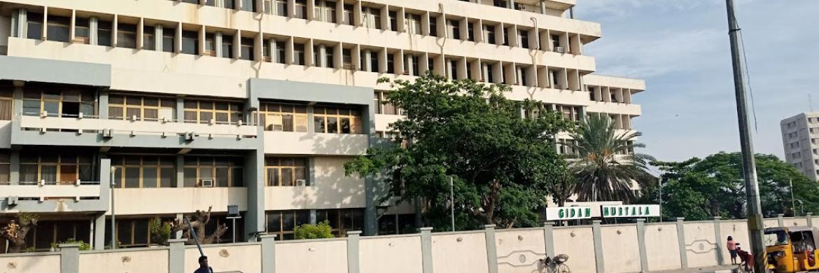
It is one of the largest states in Nigeria in terms of population, having a population of about 9, 383, 682 in the 2006 census. Its has 44 local governments, with an area of 20,479.6 square kilometer. The population density is about 458 persons per square kilometre.

The state has over 18, 684 square kilometres of cultivable land and it is the most extensively irrigated state in Nigeria. Kano State is noted for its famous markets and it is an industrial centre in the north. Trading articles in the Kano City include leather goods, local crafts, dyed textile materials as well as camels.

Centuries ago, Kano was largely cosmopolitan with settled populations of Arab, Berber, Tuareg, Kanuri and Fula and remains so with the Hausa language spoken by many residents.
It is the traditional state of the Dabo dynasty who have ruled as emirs over the city-state since the 19th century.
The city is one of the seven medieval Hausa kingdoms.
Located in the Savanna, south of the Sahel, Kano is a major route of the trans-Saharan trade, having been a trade and human settlement for many years.
Prior to the creation of Kano State in 1967, it was the largest Hausa Kingdom in Africa that is currently 1000 years old, based on an ancient settlement around Dala Hill.
According to the Kano Chronicle, Bagauda, a grandson of the mythical hero Bayajidda. became the first king of Kano in 999AD, reigning until 1063AD.
Muhammad Rumfa ascended to the throne in 1463 and reigned until 1499.
During his reign he reformed the city, expanded the Sahelian Gidan Rumfa (Emir’s Palace), and played a role in the further Islamization of the city as he urged prominent residents to convert.
The Hausa state remained independent until the Fulani conquest of 1805.
At the beginning of the 19th century, Fulani Islamic leader Usman dan Fodio led a jihad affecting much of northern Nigeria, leading to the emergence of the Sokoto Caliphate.
Kano became the largest and most prosperous province of the empire.
In March, 1903 after a scanty resistance, the Fort of Kano was captured by the British, It quickly replaced Lokoja as the administrative centre of Northern Nigeria.
It was replaced as the centre of government by Zungeru and later Kaduna and only regained administrative significance with the creation of Kano State following Nigerian independence in 1960.

