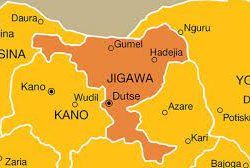

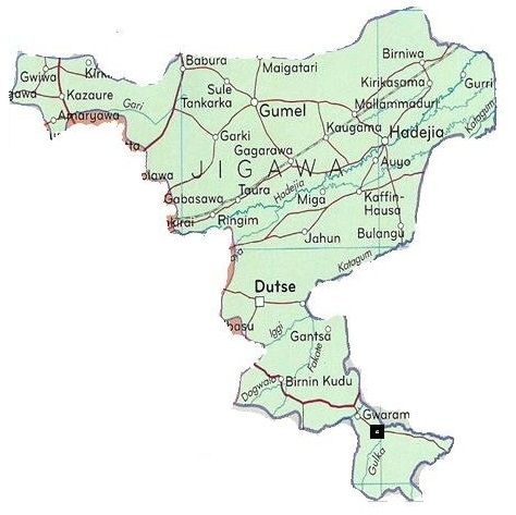
Jigawa is a state in northern Nigeria. It was carved out from Kano State.
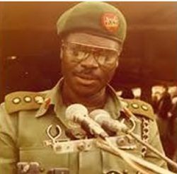
Jigawa state was created on Tuesday August 27, 1991, when the Federal Military Government under General Ibrahim Babangida announced the creation of nine additional states in the country bringing the total number of states then to thirty. The announcement was given a legal backing through the State Creation and Transitional Provisions Decree No. 37 of 1991.
The name Jigawa is a Hausa word used to describe a vast loamy but non-marshy soil.

Land area
Total land area of about 22,410sq Km.
Bondaries
It is bordered on the West by Kano State, on the East by Bauchi and Yobe States and on the North by Katsina and Yobe States and the Republic of Niger.
Ethnic composition
The state is mainly populated by the Hausa, Fulani, Mangawa, Badawa and Ngizimawa which are dialects of the Kanuri language.
They constitute significant percentages in Birniwa, Guri and Kiri kasamma local government areas.
There are other settled tribes both from within and outside Nigeria inhibiting in almost all the local government areas of the state with the highest concentration in the state capital.
Topography
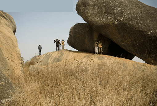
The topography of the state is generally flat with the northern, central, and eastern parts covered with undulating sand dunes running in the Southwest to Northeast direction. The area around the state capital Dutse is very rocky with some low hills. The southern and western parts of the state around Birnin Kudu and Kazaure have the highest elevations with hills as high as 600 millimeters above sea level. The state is bisected by the Hadejia River and traverses the state from the west to the east through Hadejia-Nguru wetlands and empties into Lake Chad.
Location coordinates
The state lies between latitudes 11oN and 13oN and longitudes 8oE and 10o35\\’E
Climate
With a tropical climate while the temperature varies at different times. High temperatures are normally recorded between the months of April and September.
The daily minimum and maximum temperatures are 15 degree and 35 degree Celsius.
Rainfall
The rainy season lasts from May to September with average rainfall of between 600 millimeters to 1000 millimeters. The southern part of the state has a higher rainfall percentage than the northern part.
Vegetation zone
The state is situated within the Sudan savannah vegetation zone, but there are traces of Guinea savannah in the southern part of the state. Its total forest covers about 5% due to rainfall characteristics and deforestation due primarily to use of wood for cooking.
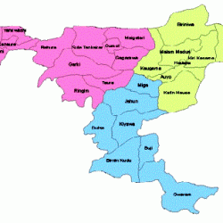
Local governments areas
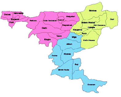
The state has 27 Local Government Area Councils headed by elected chairmen and assisted by councilors.
