Nigeria’s most populated state is Kano.
Kano
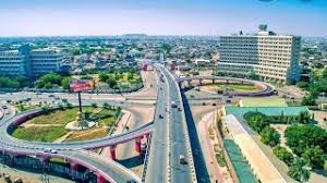
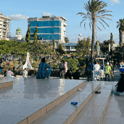
Kano is a city in northern Nigeria and the capital of Kano State.
It is the second largest city in Nigeria after Lagos, with over four million citizens living within 449 km2 (173 sq mi).
The major inhabitants of the city are the Hausa people.
Centuries ago, Kano was largely cosmopolitan with settled populations of Arab, Berber, Tuareg, Kanuri and Fula and remains so with the Hausa language spoken by many residents.
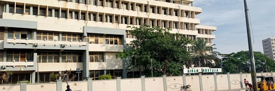
It is the traditional state of the Dabo dynasty who have ruled as emirs over the city-state since the 19th century.
The city is one of the seven medieval Hausa kingdoms.

Located in the Savanna, south of the Sahel, Kano is a major route of the trans-Saharan trade, having been a trade and human settlement for many years.
Prior to the creation of Kano State in 1967, it was the largest Hausa Kingdom in Africa that is currently 1000 years old, based on an ancient settlement around Dala Hill.
During his reign he reformed the city, expanded the Sahelian Gidan Rumfa (Emir’s Palace), and played a role in the further Islamization of the city as he urged prominent residents to convert.

In March, 1903 after a scanty resistance, the Fort of Kano was captured by the British, It quickly replaced Lokoja as the administrative centre of Northern Nigeria.
It was replaced as the centre of government by Zungeru and later Kaduna and only regained administrative significance with the creation of Kano State following Nigerian independence in 1960.
After independence, Kano state was created in 1967 from the then Northern Nigeria by the Federal military government.
The first military police commissioner, Audu Bako, is credited with building a solid foundation for the progress of a modern society. Most of the social amenities in the state are credited to him.
Nigeria’s top 10 most populated states
Kano
Lagos
Kaduna
Katsina
Oyo
Rivers
Bauchi
Jigawa
Benue
Anambra
Population size of Nigeria states. From largest to smallest
Based on 2006 Census figures
| State | Population |
|---|---|
| Kano | 9,383,682 |
| Lagos | 9,013,534 |
| Kaduna | 6,066,562 |
| Katsina | 5,792,578 |
| Oyo | 5,591,589 |
| Rivers | 5,185,400 |
| Bauchi | 4,676,465 |
| Jigawa | 4,348,649 |
| Benue | 4,219,244 |
| Anambra | 4,182,032 |
| Borno | 4,151,193 |
| Delta | 4,098,391 |
| Niger | 3,950,249 |
| Imo | 3,934,899 |
| Akwa Ibom | 3,920,208 |
| Ogun | 3,728,098 |
| Sokoto | 3,696,999 |
| Ondo | 3,441,024 |
| Osun | 3,423,535 |
| Kogi | 3,278,487 |
| Zamfara | 3,259,846 |
| Enugu | 3,257,298 |
| Kebbi | 3,238,628 |
| Edo | 3,218,332 |
| Plateau | 3,178,712 |
| Adamawa | 3,168,101 |
| Cross River | 2,888,966 |
| Abia | 2,833,999 |
| Ekiti | 2,384,212 |
| Kwara | 2,371,089 |
| Gombe | 2,353,879 |
| Yobe | 2,321,591 |
| Taraba | 2,300,736 |
| Ebonyi | 2,173,501 |
| Nasarawa | 1,863,275 |
| Bayelsa | 1,703,358 |
| Federal Capital Territory | 1,405,201 |
| Total | 140,003,542 |
Maps of Nigeria’s 36 states & Abuja (the Federal Capital Territory)
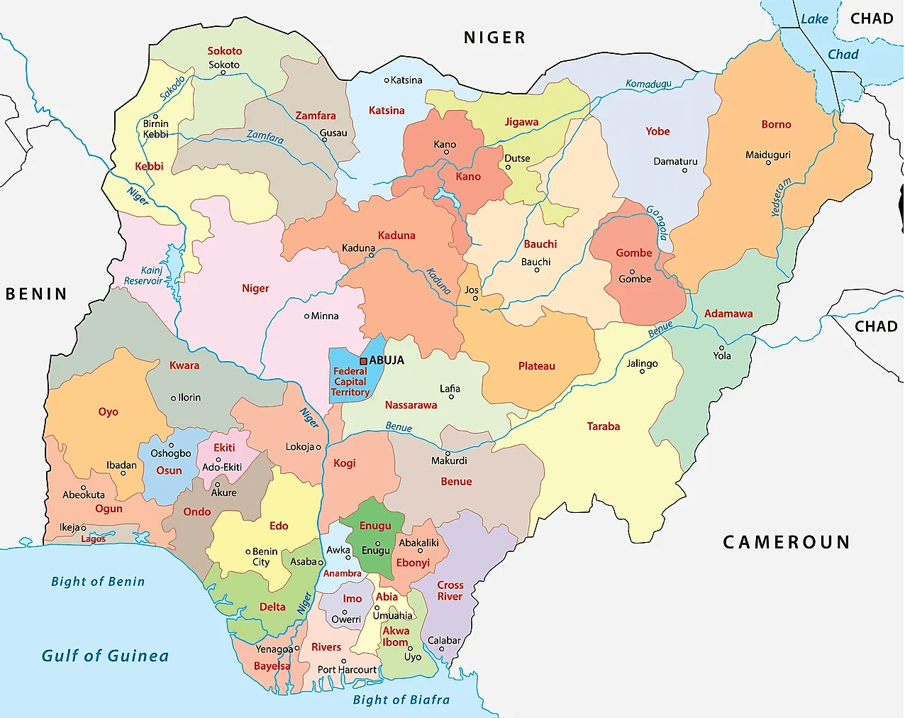
States creation, reformation
By the time that Nigeria got independence it was a federation of the three regions, namely:
Western
Eastern
Northern
Later on another region was added, the Mid-Western Region.
The Mid-Western Region was formed from the Western Region in 1966, and Lagos, the capital, was effectively governed as an unofficial fourth region outside the bounds of the Western Region.
This brought the numbr of regions to 4 as follows:
Western
Mid-Western
Western
Northern
Under the short-lived military government of Aguiyi-Ironsi, Nigeria was reorganized under a central government. Following a coup which resulted in Aguiyi-Ironsi’s deposition and assassination, Nigeria was reorganized as a federal country again with three of the regions being divided into newer entities and all first-level subdivisions being renamed as states.
Western Region was divided into:
Lagos
and Western states.
Eastern Region was divided into:
East-Central,
Rivers,
and South-Eastern states;
Northern Region was divided into:
Benue-Plateau,
Kano,
Kwara,
North-Central,
North-Eastern,
and North-Western (Sokoto) states
1976 reformation of Nigeria’s federating units
In 1976, six years after the end of the civil war, the states were further reorganized:
State boundaries and names were also reorganized.
Benue-Plateau state divided into:
Benue
and Plateau states.
East-Central state divided into:
Anambra
and Imo states.
Federal Capital Territory (Abuja) formed from parts of Niger and Plateau states.
North-Eastern state divided into:
Bauchi,
Borno,
and Gongola states.
Niger (Minna) state split from Sokoto.
Western state divided into:
Ogun,
Ondo,
and Oyo states
States of Nigeria from 1987-1991
Akwa Ibom state created from Cross River;
Katsina state created from Kaduna
States of Nigeria from 1991-1996
Abia State created from Imo;
Bendel State divided into Delta and Edo;
Enugu State created from Anambra;
Gongola State divided into Adamawa and Taraba;
Jigawa State created from Kano;
Kebbi State created from Sokoto;
Kogi State formed from parts of Benue and Kwara;
Osun State created from Oyo;
Yobe State created from Borno.
States of Nigeria from 1996
Bayelsa State created from Rivers;
Ebonyi State was formed from parts of Abia and Enugu;
Ekiti State created from Ondo;
Gombe State created from Bauchi;
Nasarawa State created from Plateau;
Zamfara State was created from Sokoto.

