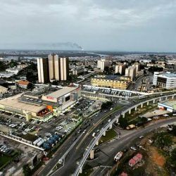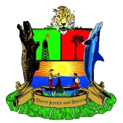


Rivers State is a southern Nigerian state in the Niger Delta region.
Founded
1967
Rivers state was formed in 1967 when it was split from the former Eastern Region.
Capital
Port Harcourt
Location
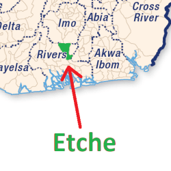
It’s located in southern Nigeria, comprising the Niger River delta on the Gulf of Guinea.
Boundaries
It is bounded by the states of Anambra and Imo on the north, Abia and Akwa Ibom on the east, and Bayelsa and Delta on the west
Local government areas, 23
Abua–Odual
Ahoada East
Ahoada West
Akuku-Toru
Andoni
Asari-Toru
Bonny
Degema
Eleme
Emohua
Etche
Gokana
Ikwerre
Khana
Obio-Akpor
Ogba–Egbema–Ndoni
Ogu–Bolo
Okrika
Omuma
Opobo–Nkoro
Oyigbo
Port Harcourt
Tai
